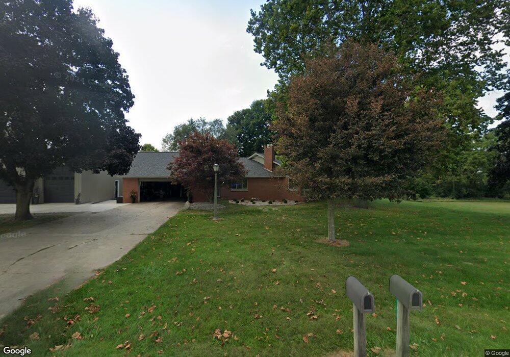
158 Stringtown Rd Quincy, MI 49082
Estimated Value: $218,000 - $474,000
2
Beds
2
Baths
2,544
Sq Ft
$135/Sq Ft
Est. Value
About This Home
This home is located at 158 Stringtown Rd, Quincy, MI 49082 and is currently estimated at $343,575, approximately $135 per square foot. 158 Stringtown Rd is a home located in Branch County with nearby schools including Jennings Elementary School, Quincy Middle School, and Quincy High School.
Ownership History
Date
Name
Owned For
Owner Type
Purchase Details
Closed on
Jan 29, 2004
Sold by
Knirk Dick E and Knirk Linda D
Bought by
Knirk Leon D and Knirk Jennifer L
Current Estimated Value
Home Financials for this Owner
Home Financials are based on the most recent Mortgage that was taken out on this home.
Original Mortgage
$140,000
Interest Rate
5%
Mortgage Type
Seller Take Back
Purchase Details
Closed on
Oct 25, 2000
Bought by
Knirk Dick E
Create a Home Valuation Report for This Property
The Home Valuation Report is an in-depth analysis detailing your home's value as well as a comparison with similar homes in the area
Purchase History
We collect this data history from publicly available records. To have your information removed, we recommend requesting removal directly through your county’s website.
| Date | Buyer | Sale Price | Title Company |
|---|---|---|---|
| Knirk Leon D | $150,000 | -- | |
| Knirk Dick E | -- | -- |
Source: Public Records
Mortgage History
We collect this data history from publicly available records. To have your information removed, we recommend requesting removal directly through your county’s website.
| Date | Status | Borrower | Loan Amount |
|---|---|---|---|
| Closed | Knirk Leon D | $140,000 |
Source: Public Records
Tax History
| Year | Tax Paid | Tax Assessment Tax Assessment Total Assessment is a certain percentage of the fair market value that is determined by local assessors to be the total taxable value of land and additions on the property. | Land | Improvement |
|---|---|---|---|---|
| 2025 | $3,817 | $209,116 | $0 | $0 |
| 2024 | $13 | $203,196 | $0 | $0 |
| 2023 | $1,263 | $181,187 | $0 | $0 |
| 2022 | $1,263 | $149,333 | $0 | $0 |
| 2020 | -- | $124,242 | $0 | $0 |
| 2019 | -- | $112,415 | $0 | $0 |
| 2018 | -- | $106,179 | $0 | $0 |
| 2017 | -- | $107,366 | $0 | $0 |
| 2016 | -- | $116,414 | $0 | $0 |
| 2015 | -- | $99,027 | $0 | $0 |
| 2014 | -- | $88,389 | $0 | $0 |
| 2013 | -- | $87,482 | $0 | $0 |
Source: Public Records
Map
Nearby Homes
- 0 Wildwood Rd
- 2498 Hemlock Rd
- 2743 Hemlock Rd
- 2831 Hemlock Rd
- 2408 Spruce Dr
- 9180 Arkansaw Rd
- 2480 Bluff Dr
- 9222 Beech Dr
- 118 N Ray Quincy Rd
- 3070 Lake Dr
- 9055 Kellogg Dr
- 00 Hog Creek Rd
- 3185 Totem Trail
- 3127 Tepee Dr
- 4111 Blair Rd
- 928 Hummingbird Ln
- 000 Arkansaw Rd
- 4205 Carol Dr
- 7940 Shaffer Rd
- 46 W Chicago St
- 141 N Stringtown Rd
- 168 Stringtown Rd
- 146 Stringtown Rd
- 146 Stringtown Rd
- 120 Stringtown Rd
- 1299 Swan Rd
- 178 Clizbe Rd
- 1278 Wildwood Rd
- 1285 Wildwood Rd
- 1218 Wildwood Rd
- 210 Maple Rd
- 1210 Wildwood Rd
- 1214 Wildwood Rd
- 1296 Wildwood Rd
- 1200 Wildwood Rd
- 205 Clizbe Rd
- 1194 Wildwood Rd
- 10811 Youngs Rd
- 10818 Youngs Rd
- 10800 Youngs Rd
Your Personal Tour Guide
Ask me questions while you tour the home.