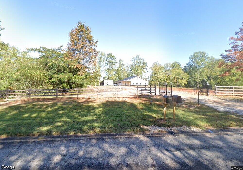
1585 Smith Loop Demorest, GA 30535
Demorest AreaEstimated Value: $321,000 - $2,100,935
About This Home
This home is located at 1585 Smith Loop, Demorest, GA 30535 and is currently estimated at $1,210,968, approximately $1,509 per square foot. 1585 Smith Loop is a home located in Habersham County with nearby schools including Fairview Elementary School, South Habersham Middle School, and Habersham Success Academy.
Ownership History
We collect this data history from publicly available records. To have your information removed, we recommend requesting removal directly through your county’s website.
Purchase Details
Purchase Details
Purchase Details
Purchase Details
Home Values in the Area
Average Home Value in this Area
Purchase History
We collect this data history from publicly available records. To have your information removed, we recommend requesting removal directly through your county’s website.
| Date | Buyer | Sale Price | Title Company |
|---|---|---|---|
| $357,500 | -- | ||
| $17,004 | -- | ||
| $117,000 | -- | ||
| -- | -- |
Tax History
We collect this data history from publicly available records. To have your information removed, we recommend requesting removal directly through your county’s website.
| Year | Tax Paid | Tax Assessment Tax Assessment Total Assessment is a certain percentage of the fair market value that is determined by local assessors to be the total taxable value of land and additions on the property. | Land | Improvement |
|---|---|---|---|---|
| 2025 | $10,207 | $686,136 | $138,160 | $547,976 |
| 2024 | -- | $602,552 | $113,752 | $488,800 |
| 2023 | $8,709 | $503,500 | $113,752 | $389,748 |
| 2022 | $8,652 | $402,884 | $73,376 | $329,508 |
| 2021 | $4,719 | $181,804 | $70,020 | $111,784 |
| 2020 | $1,904 | $70,788 | $70,020 | $768 |
| 2019 | $1,483 | $50,860 | $50,092 | $768 |
| 2018 | $1,537 | $57,536 | $52,916 | $4,620 |
| 2017 | $1,257 | $46,800 | $42,332 | $4,468 |
| 2016 | $1,220 | $117,000 | $42,332 | $4,468 |
| 2015 | $1,206 | $117,000 | $42,332 | $4,468 |
| 2014 | $1,223 | $116,470 | $42,332 | $4,256 |
| 2013 | -- | $46,588 | $42,332 | $4,256 |
Map
- 8.5 +/- Smith Loop
- 256 Canyon Point Dr
- 187 Still Water Way
- 301 Cross Creek Trail
- 909 Smith Loop Rd
- 903 Smith Loop Rd
- 387 Cross Creek Trail
- 190 Raintree Ct
- 2970 Cannon Bridge Rd
- 2978 Cannon Bridge Rd
- 2986 Cannon Bridge Rd
- 2994 Cannon Bridge Rd
- 329 Twisting Ridge Trail
- 359 Jud Tench Rd
- 140 Kim Loop
- 3750 Old Cleveland Rd
- 0 Olde Rockhouse Ln Unit 10711979
- 0 Olde Rockhouse Ln Unit 7736493
- LOT 4 Olde Rockhouse Ln
- 426 Rockhouse Crossing
- 1722 Smith Loop
- 290 Family Ties Ln
- 226 Brentwood Dr
- Lot 41 Smith Loop Rd
- 700 Canyon Point Dr
- 1395 Smith Loop
- 203 Brentwood Dr
- 0 Maple Ridge Dr
- 0 Maple Ridge Dr Unit 7232580
- 220 Brentwood Dr
- 287 Can-Trail Dr
- 191 Brentwood Dr
- 192 Brentwood Dr
- 205 Soque Trail
- 160 Family Ties Ln
- 1358 Smith Loop
- 179 Brentwood Dr Unit 12
- 179 Brentwood Dr
- 5.96 ACRES Canyon Point Dr
- 178 Brentwood Dr
Ask me questions while you tour the home.