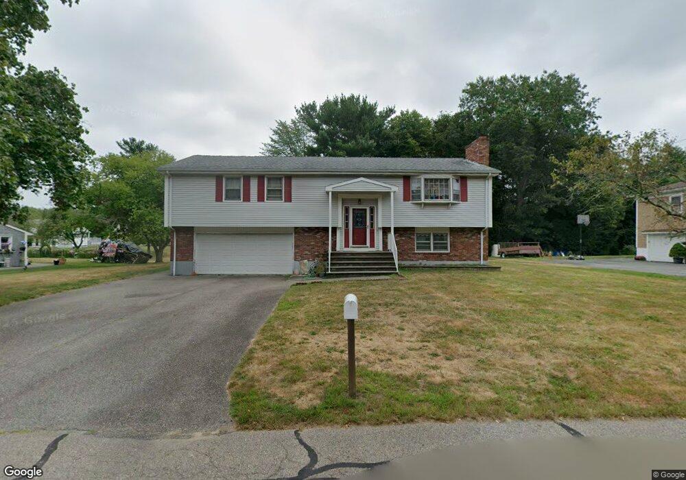
159 Power St Taunton, MA 02780
Weir Village NeighborhoodEstimated Value: $547,000 - $555,000
About This Home
This home is located at 159 Power St, Taunton, MA 02780 and is currently estimated at $551,355, approximately $279 per square foot. 159 Power St is a home located in Bristol County with nearby schools including Elizabeth Pole School, Taunton High School, and John F. Parker Middle School.
Ownership History
We collect this data history from publicly available records. To have your information removed, we recommend requesting removal directly through your county’s website.
Purchase Details
Purchase Details
Home Values in the Area
Average Home Value in this Area
Purchase History
We collect this data history from publicly available records. To have your information removed, we recommend requesting removal directly through your county’s website.
| Date | Buyer | Sale Price | Title Company |
|---|---|---|---|
| -- | None Available | ||
| $134,500 | -- |
Tax History
We collect this data history from publicly available records. To have your information removed, we recommend requesting removal directly through your county’s website.
| Year | Tax Paid | Tax Assessment Tax Assessment Total Assessment is a certain percentage of the fair market value that is determined by local assessors to be the total taxable value of land and additions on the property. | Land | Improvement |
|---|---|---|---|---|
| 2025 | $4,985 | $455,700 | $130,300 | $325,400 |
| 2024 | $4,567 | $408,100 | $130,300 | $277,800 |
| 2023 | $4,640 | $385,100 | $124,400 | $260,700 |
| 2022 | $4,614 | $350,100 | $113,500 | $236,600 |
| 2021 | $4,349 | $306,300 | $103,200 | $203,100 |
| 2020 | $4,247 | $285,800 | $103,200 | $182,600 |
| 2019 | $4,329 | $274,700 | $103,200 | $171,500 |
| 2018 | $4,160 | $264,600 | $104,200 | $160,400 |
| 2017 | $3,898 | $248,100 | $98,800 | $149,300 |
| 2016 | $3,758 | $239,700 | $95,900 | $143,800 |
| 2015 | $3,560 | $237,200 | $93,100 | $144,100 |
| 2014 | $3,439 | $235,400 | $93,100 | $142,300 |
Map
- 158 Duffy Dr
- 11 Duffy Dr
- 66 Mary Dr
- 87 Baylies Rd
- 5 Parcels Cape Highway Route 44
- 104 Ridgewood Dr
- 0 S Main St Unit 73443212
- 29 Johnson St Unit B
- 152 Forgeriver
- 75 Warren St W Unit 8
- 561 County St
- 577 County St
- 585 County St
- 110 Dean St Unit 21
- 110 Dean St Unit 44
- 110 Dean St Unit 77
- 110 Dean St Unit 1
- 110 Dean St Unit 104
- 474 Orchard St
- 68 Middleboro Ave
- 149 Power St
- 169 Power St
- 360 King James Blvd
- 350 King James Blvd
- 160 Power St
- 370 King James Blvd
- 139 Power St
- 150 Power St
- 179 Power St
- 170 Power St
- 340 King James Blvd
- 380 King James Blvd
- 180 Power St
- 189 Power St
- 129 Power St
- 390 King James Blvd
- 130 Power St
- 355 King James Blvd
- 190 Power St
- 345 King James Blvd
Ask me questions while you tour the home.