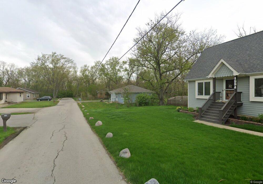
159 Thomas Ln Unit B New Lenox, IL 60451
Estimated Value: $217,000 - $309,000
Studio
--
Bath
--
Sq Ft
15,246
Sq Ft Lot
About This Home
This home is located at 159 Thomas Ln Unit B, New Lenox, IL 60451 and is currently estimated at $245,267. 159 Thomas Ln Unit B is a home located in Will County with nearby schools including Oster-Oakview School, Haines Elementary School, and Lincoln Way West.
Ownership History
Date
Name
Owned For
Owner Type
Purchase Details
Closed on
Jul 15, 2025
Sold by
Rhodes Stephen R
Bought by
Stephen Robert Rhodes Declaration Of Trust and Rhodes
Current Estimated Value
Purchase Details
Closed on
Jan 26, 2022
Sold by
Trust Number 543 and First National Bank Of Manhattan
Bought by
Rhodes Stephen R
Purchase Details
Closed on
Oct 18, 2005
Sold by
Sanders Nicole D
Bought by
Nlsb and Trust #2825
Home Financials for this Owner
Home Financials are based on the most recent Mortgage that was taken out on this home.
Original Mortgage
$138,400
Interest Rate
5.93%
Mortgage Type
Fannie Mae Freddie Mac
Purchase Details
Closed on
Aug 31, 2005
Sold by
Nlsb
Bought by
Sanders Nicole D
Home Financials for this Owner
Home Financials are based on the most recent Mortgage that was taken out on this home.
Original Mortgage
$138,400
Interest Rate
5.93%
Mortgage Type
Fannie Mae Freddie Mac
Purchase Details
Closed on
Jul 31, 2003
Sold by
Sanders Nicole
Bought by
Nlsb and Trust #2825
Purchase Details
Closed on
Jun 10, 2003
Sold by
Roesner Donald A
Bought by
Sanders Nicole D
Purchase Details
Closed on
Jun 9, 2003
Sold by
Roesner Jeannette M and Roesner Donald A
Bought by
Roesner Donald A
Create a Home Valuation Report for This Property
The Home Valuation Report is an in-depth analysis detailing your home's value as well as a comparison with similar homes in the area
Home Values in the Area
Average Home Value in this Area
Purchase History
| Date | Buyer | Sale Price | Title Company |
|---|---|---|---|
| Stephen Robert Rhodes Declaration Of Trust | -- | American Land Title | |
| Rhodes Stephen R | $154,000 | New Title Company Name | |
| Nlsb | -- | -- | |
| Sanders Nicole D | -- | North American Title Co | |
| Nlsb | -- | Chicago Title Insurance Co | |
| Sanders Nicole D | -- | -- | |
| Roesner Donald A | -- | -- |
Source: Public Records
Mortgage History
| Date | Status | Borrower | Loan Amount |
|---|---|---|---|
| Previous Owner | Sanders Nicole D | $138,400 |
Source: Public Records
Tax History
| Year | Tax Paid | Tax Assessment Tax Assessment Total Assessment is a certain percentage of the fair market value that is determined by local assessors to be the total taxable value of land and additions on the property. | Land | Improvement |
|---|---|---|---|---|
| 2024 | $4,406 | $56,312 | $23,760 | $32,552 |
| 2023 | $4,406 | $62,478 | $21,659 | $40,819 |
| 2022 | $4,259 | $57,557 | $19,953 | $37,604 |
| 2021 | $4,574 | $54,130 | $18,765 | $35,365 |
| 2020 | $4,453 | $52,198 | $18,095 | $34,103 |
| 2019 | $4,267 | $50,580 | $17,534 | $33,046 |
| 2018 | $4,177 | $48,837 | $16,930 | $31,907 |
| 2017 | $3,972 | $47,433 | $16,443 | $30,990 |
| 2016 | $3,863 | $46,164 | $16,003 | $30,161 |
| 2015 | $2,817 | $44,711 | $15,499 | $29,212 |
| 2014 | $2,817 | $44,159 | $15,308 | $28,851 |
| 2013 | $2,817 | $44,754 | $15,514 | $29,240 |
Source: Public Records
Map
Nearby Homes
- Lot 207 N Cedar Rd
- 209 Linden Oaks Ln
- 830 Wagon Dr
- 1605 S Regan Rd
- 0 N Cedar Rd
- 111 Oak St
- 1502 London Rd
- 380 N Cedar Rd
- 326 Old Hickory Rd
- 1110 Lakeside Dr
- 1301 Silver Cross Blvd
- 639 N Marley Rd
- 12001 W Route 6
- 800 N Marley Rd
- 211 Manor Dr Unit 1
- 213 Manor Dr Unit 2
- 328 E Lincoln Hwy
- 1999 Silver Cross Blvd
- 404 Livingston Dr
- 0 Silver Cross Blvd
- 159 Thomas Ln Unit A
- 159 Thomas Ln
- 155 Thomas Ln
- 157 Thomas Ln Unit B
- 167 E Francis Rd
- 161 E Francis Rd
- 159 E Francis Rd
- 157 E Francis Rd
- 175 E Francis Rd
- 153 E Francis Rd
- 177 E Francis Rd
- 125 E Francis Rd
- 179 E Francis Rd
- 1339 N Cooper Rd
- 115 E Francis Rd
- 121 E Francis Rd
- 187 E Francis Rd
- 176 E Francis Rd
- E Francis Rd
- 1338 N Cedar Rd
Your Personal Tour Guide
Ask me questions while you tour the home.