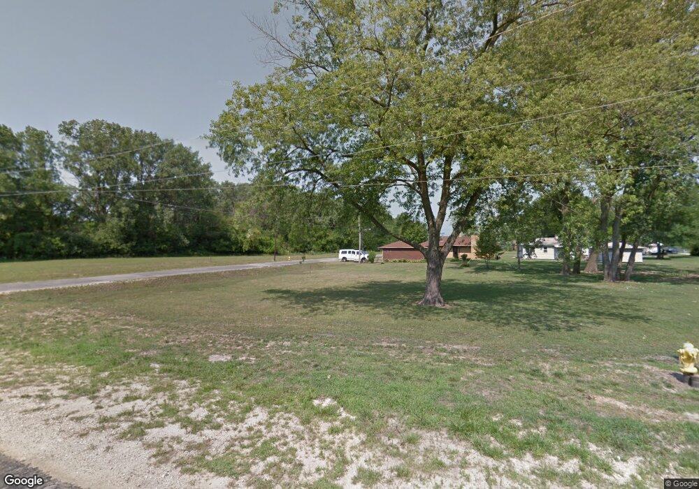
15952 Artesian Ave Markham, IL 60428
Estimated Value: $49,000
Studio
--
Bath
--
Sq Ft
11,064
Sq Ft Lot
About This Home
This home is located at 15952 Artesian Ave, Markham, IL 60428 and is currently priced at $49,000. 15952 Artesian Ave is a home located in Cook County with nearby schools including Mae Jemison School, Prairie-Hills Junior High School, and Hillcrest High School.
Ownership History
Date
Name
Owned For
Owner Type
Purchase Details
Closed on
Apr 7, 2020
Sold by
City Of Markham
Bought by
Scannell Properties 425 Llc and Scannell Properties 430 Llc
Current Estimated Value
Home Financials for this Owner
Home Financials are based on the most recent Mortgage that was taken out on this home.
Original Mortgage
$368,571,868
Interest Rate
3.3%
Mortgage Type
Commercial
Purchase Details
Closed on
Aug 1, 2017
Sold by
Vernon Ernest C
Bought by
The City Of Markham
Purchase Details
Closed on
Oct 26, 2001
Sold by
Vernon Ernest
Bought by
Vernon Ernest C and Ernest C Vernon Declaration Of Trust
Create a Home Valuation Report for This Property
The Home Valuation Report is an in-depth analysis detailing your home's value as well as a comparison with similar homes in the area
Home Values in the Area
Average Home Value in this Area
Purchase History
| Date | Buyer | Sale Price | Title Company |
|---|---|---|---|
| Scannell Properties 425 Llc | -- | None Available | |
| The City Of Markham | -- | First American Title | |
| Vernon Ernest C | -- | -- |
Source: Public Records
Mortgage History
| Date | Status | Borrower | Loan Amount |
|---|---|---|---|
| Previous Owner | Scannell Properties 425 Llc | $368,571,868 |
Source: Public Records
Tax History
| Year | Tax Paid | Tax Assessment Tax Assessment Total Assessment is a certain percentage of the fair market value that is determined by local assessors to be the total taxable value of land and additions on the property. | Land | Improvement |
|---|---|---|---|---|
| 2025 | $3,586 | $6,327 | $3,266 | $3,061 |
| 2024 | $3,586 | $6,327 | $3,266 | $3,061 |
| 2023 | $2,747 | $6,327 | $3,266 | $3,061 |
| 2022 | $2,747 | $3,433 | $1,361 | $2,072 |
| 2021 | $1,056 | $1,360 | $1,360 | $0 |
| 2020 | $1,032 | $1,360 | $1,360 | $0 |
| 2019 | $1,741 | $0 | $0 | $0 |
| 2018 | $1,741 | $2,484 | $2,484 | $0 |
| 2017 | $1,648 | $2,484 | $2,484 | $0 |
| 2016 | $1,483 | $2,208 | $2,208 | $0 |
| 2015 | $1,368 | $2,208 | $2,208 | $0 |
| 2014 | $1,371 | $2,208 | $2,208 | $0 |
| 2013 | $1,247 | $2,208 | $2,208 | $0 |
Source: Public Records
Map
Nearby Homes
- 16029 Circle Dr
- 2220 W 158th St
- 16309 Plymouth Dr
- 15730 Washtenaw Ave
- 2837 Oxford Dr
- 2244 W 157th Place
- 16358 Plymouth Dr
- 2926 Sussex Ave
- 2217 W 156th Place
- 2859 Stafford Dr
- 2711 W 165th St
- 16515 Plymouth Dr
- 3048 Sherwood Ave
- 16110 Wolcott Ave
- 3014 W 163rd St
- 16551 Plymouth Dr
- 16530 California Ave
- 16600 Oxford Dr
- 225 W 155th St
- 3120 Wilshire Ave
- 15961 Campbell Ave
- 15959 Campbell Ave
- 2516 Thorndale Ave
- 2501 Elmdale Ave
- 2414 Elmdale Ave
- 16001 Artesian Ave
- 16001 Artesian Ave
- 16001 Artesian Ave
- 15917 Campbell Ave
- 15934 Artesian Ave
- 2408 Elmdale Ave
- 2502 Thorndale Ave
- 2502 Thorndale Ave
- 15941 Artesian Ave
- 15954 Campbell Ave
- 2511 Elmdale Ave
- 2511 Elmdale Ave
- 2522 Elmdale Ave
- 2522 Elmdale Ave
- 2522 Elmdale Ave
Your Personal Tour Guide
Ask me questions while you tour the home.