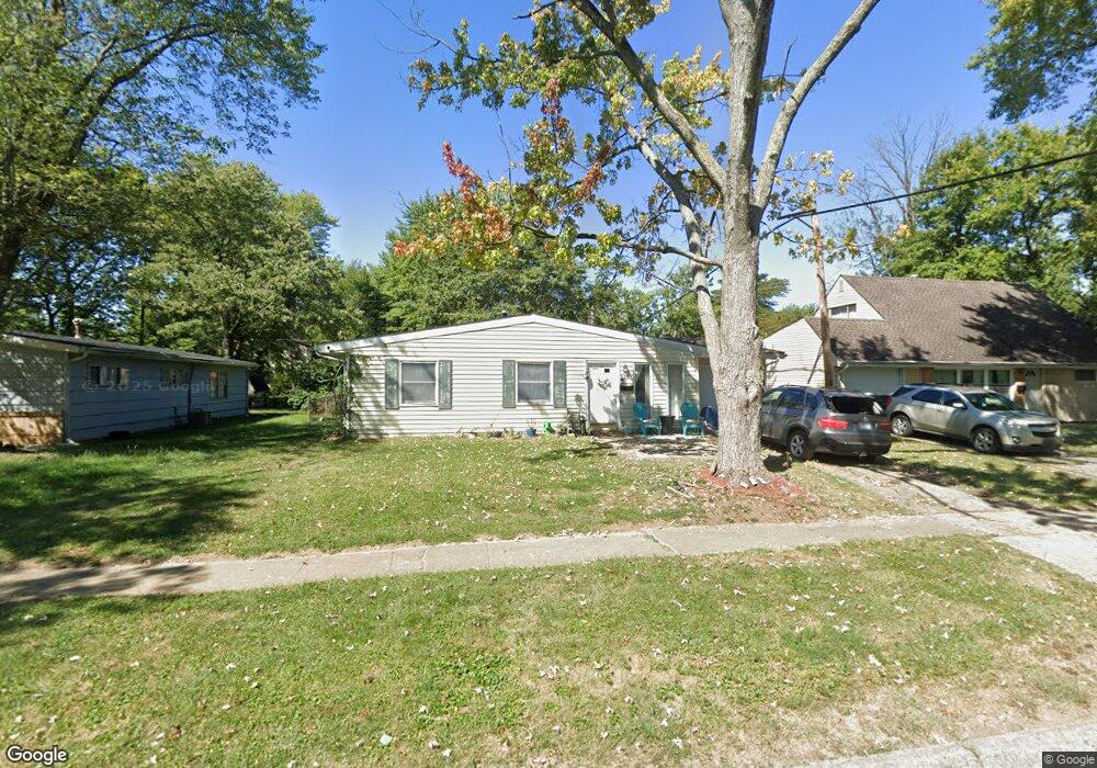
1599 Simpson Dr Columbus, OH 43227
Leawood NeighborhoodEstimated Value: $144,000 - $208,000
About This Home
This home is located at 1599 Simpson Dr, Columbus, OH 43227 and is currently estimated at $179,602, approximately $176 per square foot. 1599 Simpson Dr is a home located in Franklin County with nearby schools including Leawood Elementary School, Sherwood Middle School, and Walnut Ridge High School.
Ownership History
We collect this data history from publicly available records. To have your information removed, we recommend requesting removal directly through your county’s website.
Purchase Details
Purchase Details
Purchase Details
Home Financials for this Owner
Home Financials are based on the most recent Mortgage that was taken out on this home.Home Values in the Area
Average Home Value in this Area
Purchase History
We collect this data history from publicly available records. To have your information removed, we recommend requesting removal directly through your county’s website.
| Date | Buyer | Sale Price | Title Company |
|---|---|---|---|
| $23,000 | None Available | ||
| $46,000 | None Available | ||
| -- | Landsel Title Agency |
Mortgage History
We collect this data history from publicly available records. To have your information removed, we recommend requesting removal directly through your county’s website.
| Date | Status | Borrower | Loan Amount |
|---|---|---|---|
| Closed | $66,300 | ||
| Closed | $60,838 |
Tax History
We collect this data history from publicly available records. To have your information removed, we recommend requesting removal directly through your county’s website.
| Year | Tax Paid | Tax Assessment Tax Assessment Total Assessment is a certain percentage of the fair market value that is determined by local assessors to be the total taxable value of land and additions on the property. | Land | Improvement |
|---|---|---|---|---|
| 2025 | $2,556 | $53,970 | $16,800 | $37,170 |
| 2024 | $2,556 | $53,970 | $16,800 | $37,170 |
| 2023 | $2,442 | $53,970 | $16,800 | $37,170 |
| 2022 | $1,280 | $24,080 | $6,300 | $17,780 |
| 2021 | $1,357 | $24,080 | $6,300 | $17,780 |
| 2020 | $1,284 | $24,080 | $6,300 | $17,780 |
| 2019 | $1,158 | $18,620 | $5,040 | $13,580 |
| 2018 | $860 | $18,620 | $5,040 | $13,580 |
| 2017 | $1,158 | $18,620 | $5,040 | $13,580 |
| 2016 | $653 | $8,060 | $5,430 | $2,630 |
| 2015 | $565 | $8,060 | $5,430 | $2,630 |
| 2014 | $500 | $8,060 | $5,430 | $2,630 |
| 2013 | $246 | $8,050 | $5,425 | $2,625 |
Map
- 1585 Shady Lane Rd
- 4636 Dundee Ave
- 4487 Dundee Ave
- 4492 Keeler Dr
- 4649 Dundee Ave
- 1547 Duffield Dr
- 4706 Dundee Ave
- 4446 Drifton Dr
- 1407 Simpson Dr
- 4668 Belfast Dr
- 4467 Grimsby Rd
- 4475 Ellery Dr
- 1654 Wilton Dr
- 1422 Benson Dr
- 4837 Dickens Dr
- 4530 Amesbury Rd
- 1301 Bernhard Rd
- 4956 Betsy Dr
- 5021 Betsy Dr
- 1085 Shady Lane Rd
- 1602 Genoa Place
- 1610 Genoa Place
- 1594 Genoa Place
- 1616 Genoa Place
- 1586 Genoa Place
- 1615 Simpson Dr
- 1591 Simpson Dr
- 1625 Simpson Dr
- 1603 Genoa Place
- 1595 Genoa Place
- 1626 Genoa Place
- 1609 Genoa Place
- 1578 Genoa Place
- 1617 Genoa Place
- 1583 Simpson Dr
- 1633 Simpson Dr
- 1561 Baxter Dr
- 1575 Simpson Dr
- 1570 Genoa Place
- 1634 Genoa Place
Ask me questions while you tour the home.