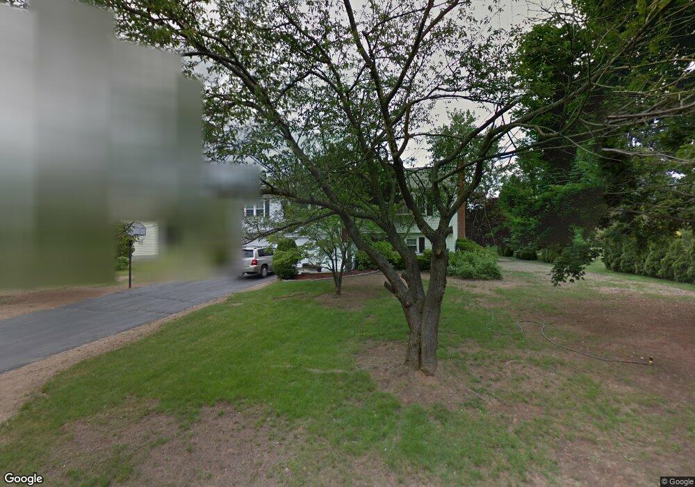
16 Andrew Ln Windsor, CT 06095
West Windsor NeighborhoodEstimated Value: $374,132 - $415,000
3
Beds
3
Baths
1,294
Sq Ft
$304/Sq Ft
Est. Value
About This Home
This home is located at 16 Andrew Ln, Windsor, CT 06095 and is currently estimated at $393,783, approximately $304 per square foot. 16 Andrew Ln is a home located in Hartford County with nearby schools including Oliver Ellsworth School, John F. Kennedy School, and Sage Park Middle School.
Ownership History
Date
Name
Owned For
Owner Type
Purchase Details
Closed on
Jun 1, 1998
Sold by
Thai Paul and Thai Linh
Bought by
Burchell Michael and Burchell Rita
Current Estimated Value
Home Financials for this Owner
Home Financials are based on the most recent Mortgage that was taken out on this home.
Original Mortgage
$127,600
Interest Rate
7.12%
Mortgage Type
Purchase Money Mortgage
Create a Home Valuation Report for This Property
The Home Valuation Report is an in-depth analysis detailing your home's value as well as a comparison with similar homes in the area
Home Values in the Area
Average Home Value in this Area
Purchase History
We collect this data history from publicly available records. To have your information removed, we recommend requesting removal directly through your county’s website.
| Date | Buyer | Sale Price | Title Company |
|---|---|---|---|
| Burchell Michael | $135,000 | -- |
Source: Public Records
Mortgage History
We collect this data history from publicly available records. To have your information removed, we recommend requesting removal directly through your county’s website.
| Date | Status | Borrower | Loan Amount |
|---|---|---|---|
| Open | Burchell Michael | $223,080 | |
| Closed | Burchell Michael | $250,705 | |
| Closed | Burchell Michael | $23,400 | |
| Closed | Burchell Michael | $127,600 |
Source: Public Records
Tax History
| Year | Tax Paid | Tax Assessment Tax Assessment Total Assessment is a certain percentage of the fair market value that is determined by local assessors to be the total taxable value of land and additions on the property. | Land | Improvement |
|---|---|---|---|---|
| 2025 | $6,110 | $214,760 | $62,440 | $152,320 |
| 2024 | $6,512 | $214,760 | $62,440 | $152,320 |
| 2023 | $4,859 | $144,620 | $49,560 | $95,060 |
| 2022 | $4,812 | $144,620 | $49,560 | $95,060 |
| 2021 | $4,812 | $144,620 | $49,560 | $95,060 |
| 2020 | $4,788 | $144,620 | $49,560 | $95,060 |
| 2019 | $4,683 | $144,620 | $49,560 | $95,060 |
| 2018 | $4,649 | $141,050 | $49,560 | $91,490 |
| 2017 | $4,577 | $141,050 | $49,560 | $91,490 |
| 2016 | $4,446 | $141,050 | $49,560 | $91,490 |
| 2015 | $4,361 | $141,050 | $49,560 | $91,490 |
| 2014 | $4,298 | $141,050 | $49,560 | $91,490 |
Source: Public Records
Map
Nearby Homes
- 25 Matthew Ln
- 97 Brookview Rd
- 708 Park Ave
- 453 Tributary Ln
- 449 Tributary Ln
- 110 Belmont Ave
- 318 Capen St
- 342 Capen St
- 8 Whitward Place
- 371 Dunfey Ln
- 1211R Blue Hills Ave
- 1220 Blue Hills Ave
- 94 Ludlow Rd
- 56 Windbrook Dr
- 30 Parkwood Dr
- 160 Windbrook Dr
- 1130 Blue Hills Ave
- 122 Capen St
- 8 Old Windsor Rd
- 249 Preston St
Your Personal Tour Guide
Ask me questions while you tour the home.