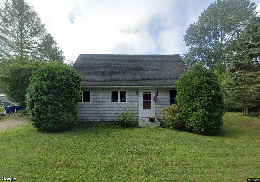
16 Cotuit Rd Buzzards Bay, MA 02532
Monument Beach NeighborhoodEstimated Value: $369,000 - $423,304
2
Beds
1
Bath
608
Sq Ft
$647/Sq Ft
Est. Value
About This Home
This home is located at 16 Cotuit Rd, Buzzards Bay, MA 02532 and is currently estimated at $393,576, approximately $647 per square foot. 16 Cotuit Rd is a home located in Barnstable County with nearby schools including Bourne High School, St Margaret Regional School, and Cadence Academy Preschool - Bourne.
Ownership History
Date
Name
Owned For
Owner Type
Purchase Details
Closed on
Jan 25, 2021
Sold by
Mary E Ellis T E and Mary Ellis
Bought by
Sylvia Shiobhan M
Current Estimated Value
Home Financials for this Owner
Home Financials are based on the most recent Mortgage that was taken out on this home.
Original Mortgage
$276,450
Outstanding Balance
$246,167
Interest Rate
2.71%
Mortgage Type
Purchase Money Mortgage
Estimated Equity
$147,409
Create a Home Valuation Report for This Property
The Home Valuation Report is an in-depth analysis detailing your home's value as well as a comparison with similar homes in the area
Home Values in the Area
Average Home Value in this Area
Purchase History
| Date | Buyer | Sale Price | Title Company |
|---|---|---|---|
| Sylvia Shiobhan M | $285,000 | None Available | |
| Sylvia Shiobhan M | $285,000 | None Available |
Source: Public Records
Mortgage History
| Date | Status | Borrower | Loan Amount |
|---|---|---|---|
| Open | Sylvia Shiobhan M | $276,450 | |
| Closed | Sylvia Shiobhan M | $276,450 |
Source: Public Records
Tax History
| Year | Tax Paid | Tax Assessment Tax Assessment Total Assessment is a certain percentage of the fair market value that is determined by local assessors to be the total taxable value of land and additions on the property. | Land | Improvement |
|---|---|---|---|---|
| 2025 | $2,537 | $324,800 | $180,800 | $144,000 |
| 2024 | $2,481 | $309,300 | $172,200 | $137,100 |
| 2023 | $2,552 | $289,700 | $169,300 | $120,400 |
| 2022 | $2,476 | $245,400 | $149,800 | $95,600 |
| 2021 | $2,407 | $223,500 | $136,400 | $87,100 |
| 2020 | $2,337 | $217,600 | $135,100 | $82,500 |
| 2019 | $2,239 | $213,000 | $135,100 | $77,900 |
| 2018 | $2,035 | $193,100 | $128,700 | $64,400 |
| 2017 | $1,904 | $184,900 | $121,100 | $63,800 |
| 2016 | $1,848 | $181,900 | $121,100 | $60,800 |
| 2015 | $1,703 | $169,100 | $108,300 | $60,800 |
Source: Public Records
Map
Nearby Homes
- 44 Cotuit Rd
- 60 Sandwich Rd
- 5 Zoli Ln
- 27 Surrey Ln Unit 27
- 38 Old Bridge Rd
- 13 Laurel Hill Ct
- 3 Honora Ln Unit 3
- 6 Honora Ln
- 5 Honora Ln Unit 5
- 5 Honora Ln
- 2 Applewood Ct
- 405 Village Dr Unit 405
- 46 Holt Rd Unit A
- 4 Hollyhock Knoll Ct Unit 4
- 4 Hollyhock Knoll Ct Unit 4
- 0 Holt Rd
- 12 Turnberry Rd Unit 12
- 5 Blue Meadow Ct Unit 5
- 5 Blue Meadow Ct Unit 5
- 151 - 153 Main St
- 26 Waterhouse Rd
- 26 Waterhouse Rd
- 14 Cotuit Rd
- 14 Cotuit Rd
- 18 Waterhouse Rd
- 12 Cotuit Rd
- 12 Cotuit Rd
- 23 Waterhouse Rd
- 23 Waterhouse Rd
- 25 Waterhouse Rd
- 10 Cotuit Rd
- 21 Waterhouse Rd
- 16 Waterhouse Rd
- 42 Waterhouse Rd
- 42 Waterhouse Rd
- 10 Cotuit Rd
- 21 Waterhouse Rd
- 40 Cotuit Rd
- 21-23 County Rd
- 40 Cotuit Rd
Your Personal Tour Guide
Ask me questions while you tour the home.