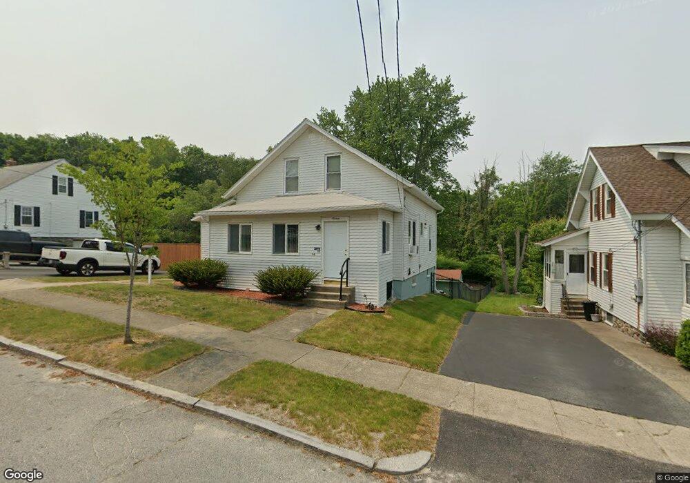
16 Dallas St Worcester, MA 01604
Lake Park NeighborhoodEstimated Value: $375,452 - $412,000
3
Beds
1
Bath
1,056
Sq Ft
$370/Sq Ft
Est. Value
About This Home
This home is located at 16 Dallas St, Worcester, MA 01604 and is currently estimated at $390,863, approximately $370 per square foot. 16 Dallas St is a home located in Worcester County with nearby schools including Jacob Hiatt Magnet School, Chandler Magnet, and Lake View Elementary School.
Ownership History
Date
Name
Owned For
Owner Type
Purchase Details
Closed on
Dec 16, 2011
Sold by
Muenzenmayer Arthur B and Coyle Patricia A
Bought by
Muenzenmayer Lt and Muenzenmayer Arthur B
Current Estimated Value
Purchase Details
Closed on
Mar 24, 2005
Sold by
Lewos Diane
Bought by
Muenzenmayer Arthur B and Coyle Patricia A
Home Financials for this Owner
Home Financials are based on the most recent Mortgage that was taken out on this home.
Original Mortgage
$180,000
Interest Rate
5.56%
Mortgage Type
Purchase Money Mortgage
Create a Home Valuation Report for This Property
The Home Valuation Report is an in-depth analysis detailing your home's value as well as a comparison with similar homes in the area
Home Values in the Area
Average Home Value in this Area
Purchase History
| Date | Buyer | Sale Price | Title Company |
|---|---|---|---|
| Muenzenmayer Lt | -- | -- | |
| Muenzenmayer Arthur B | $225,000 | -- |
Source: Public Records
Mortgage History
| Date | Status | Borrower | Loan Amount |
|---|---|---|---|
| Previous Owner | Muenzenmayer Arthur B | $180,000 |
Source: Public Records
Tax History
| Year | Tax Paid | Tax Assessment Tax Assessment Total Assessment is a certain percentage of the fair market value that is determined by local assessors to be the total taxable value of land and additions on the property. | Land | Improvement |
|---|---|---|---|---|
| 2025 | $4,477 | $339,400 | $119,100 | $220,300 |
| 2024 | $4,313 | $313,700 | $119,100 | $194,600 |
| 2023 | $4,123 | $287,500 | $103,500 | $184,000 |
| 2022 | $3,774 | $248,100 | $82,800 | $165,300 |
| 2021 | $3,559 | $218,600 | $66,300 | $152,300 |
| 2020 | $3,407 | $200,400 | $66,200 | $134,200 |
| 2019 | $3,274 | $181,900 | $59,800 | $122,100 |
| 2018 | $3,279 | $173,400 | $59,800 | $113,600 |
| 2017 | $3,141 | $163,400 | $59,800 | $103,600 |
| 2016 | $3,073 | $149,100 | $44,600 | $104,500 |
| 2015 | $2,992 | $149,100 | $44,600 | $104,500 |
| 2014 | $2,913 | $149,100 | $44,600 | $104,500 |
Source: Public Records
Map
Nearby Homes
- 12 Middlesex Ave
- Lot B Crawford St
- 21 Middlesex Ave Unit 305
- 2A Nonquit St Unit A
- 28 Gordon St
- 22 Trahan Ave
- 52 Northboro St
- 105 S Quinsigamond Ave
- 65 Lake Ave Unit 1008
- 70 S Quinsigamond Ave Unit 5
- 123 Dana Ave
- 80 Delmont Ave
- 143 Dorcester
- 155 Hamilton St Unit 3
- 167 Orient St
- 7 Wingate St
- 81 Pilgrim Ave
- 34 Dartmouth St
- 68 Shrewsbury Green Dr Unit J
- 55 Standish St
Your Personal Tour Guide
Ask me questions while you tour the home.