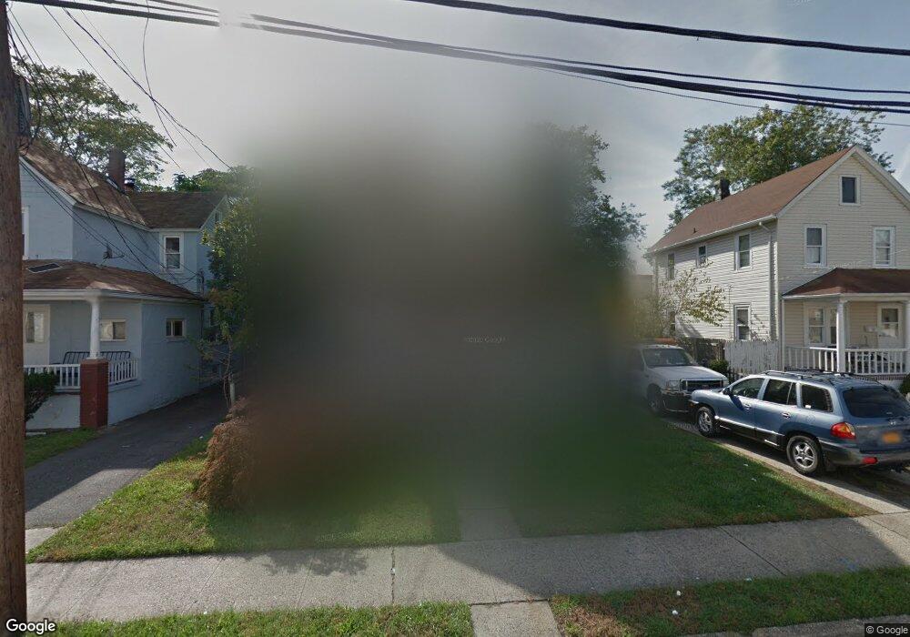
16 E Milton St Freeport, NY 11520
Estimated Value: $540,814 - $599,000
Studio
2
Baths
1,136
Sq Ft
$502/Sq Ft
Est. Value
About This Home
This home is located at 16 E Milton St, Freeport, NY 11520 and is currently estimated at $569,907, approximately $501 per square foot. 16 E Milton St is a home located in Nassau County with nearby schools including Caroline G. Atkinson Intermediate School, Columbus Avenue School, and John W Dodd Middle School.
Ownership History
Date
Name
Owned For
Owner Type
Purchase Details
Closed on
Sep 18, 2024
Sold by
Merriweather Lauretta and Dubosa Quick Angela
Bought by
Merriweather Lauretta
Current Estimated Value
Purchase Details
Closed on
Oct 4, 2019
Sold by
Merriweather Lauretta
Bought by
Merriweather Lauretta and Quick Angela Dubose
Purchase Details
Closed on
Nov 25, 1998
Sold by
Concord Renovations
Bought by
Merriweather Lauretta
Purchase Details
Closed on
Aug 1, 1997
Sold by
M & N Enterprises Inc
Bought by
Concorde Renovations Inc
Create a Home Valuation Report for This Property
The Home Valuation Report is an in-depth analysis detailing your home's value as well as a comparison with similar homes in the area
Home Values in the Area
Average Home Value in this Area
Purchase History
| Date | Buyer | Sale Price | Title Company |
|---|---|---|---|
| Merriweather Lauretta | -- | None Available | |
| Merriweather Lauretta | -- | New York Title | |
| Merriweather Lauretta | -- | New York Title | |
| Merriweather Lauretta | -- | New York Title | |
| Merriweather Lauretta | $149,000 | -- | |
| Merriweather Lauretta | $149,000 | -- | |
| Concorde Renovations Inc | $54,000 | -- | |
| Concorde Renovations Inc | $54,000 | -- |
Source: Public Records
Tax History
| Year | Tax Paid | Tax Assessment Tax Assessment Total Assessment is a certain percentage of the fair market value that is determined by local assessors to be the total taxable value of land and additions on the property. | Land | Improvement |
|---|---|---|---|---|
| 2025 | $7,038 | $368 | $134 | $234 |
| 2024 | $853 | $368 | $134 | $234 |
| 2023 | $7,368 | $368 | $134 | $234 |
| 2022 | $7,368 | $368 | $134 | $234 |
| 2021 | $11,589 | $352 | $128 | $224 |
| 2020 | $8,779 | $702 | $360 | $342 |
| 2019 | $8,992 | $702 | $360 | $342 |
| 2018 | $8,728 | $702 | $0 | $0 |
| 2017 | $7,048 | $702 | $360 | $342 |
| 2016 | $8,102 | $702 | $360 | $342 |
| 2015 | $1,014 | $702 | $360 | $342 |
| 2014 | $1,014 | $702 | $360 | $342 |
| 2013 | $958 | $702 | $360 | $342 |
Source: Public Records
Map
Nearby Homes
- 67 E Dean St
- 63 E Seaman Ave
- 101 Harris Ave
- 35 W Seaman Ave
- 27 W Woodbine Dr
- 70 N Grove St Unit 1N
- 70 N Grove St Unit 1R
- 247 N Columbus Ave
- 115 N Bergen Place
- 161 Wallace St
- 173 E Seaman Ave
- 120 Lena Ave
- 98 N Columbus Ave
- 101 Wallace St
- 96 N Columbus Ave
- 22 Colonial Ave
- 99 Randall Ave Unit 1Q
- 26 Rosedale Ave
- 60 Connecticut Ave
- 110 Woodside Ave
Your Personal Tour Guide
Ask me questions while you tour the home.