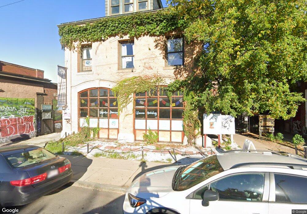
16 Harvard Ave Boston, MA 02134
Allston NeighborhoodEstimated Value: $869,335
Studio
--
Bath
6,796
Sq Ft
$128/Sq Ft
Est. Value
About This Home
A nice 3 bedroom apartment that is located in Allston. It has intercom, laundry in the bldg, New/Renovated Kitchen, Snow removal and Near to T. Available 09/01/24. 1st, last and broker to move in.
Ownership History
Date
Name
Owned For
Owner Type
Purchase Details
Closed on
Mar 13, 1995
Sold by
Church St Corp
Bought by
Harvard Ave Rt 10-16
Current Estimated Value
Home Financials for this Owner
Home Financials are based on the most recent Mortgage that was taken out on this home.
Original Mortgage
$188,000
Interest Rate
9.09%
Mortgage Type
Commercial
Create a Home Valuation Report for This Property
The Home Valuation Report is an in-depth analysis detailing your home's value as well as a comparison with similar homes in the area
Home Values in the Area
Average Home Value in this Area
Purchase History
| Date | Buyer | Sale Price | Title Company |
|---|---|---|---|
| Harvard Ave Rt 10-16 | $235,000 | -- |
Source: Public Records
Mortgage History
| Date | Status | Borrower | Loan Amount |
|---|---|---|---|
| Open | Harvard Ave Rt 10-16 | $520,000 | |
| Closed | Harvard Ave Rt 10-16 | $188,000 |
Source: Public Records
Property History
| Date | Event | Price | List to Sale | Price per Sq Ft |
|---|---|---|---|---|
| 02/10/2025 02/10/25 | Off Market | $4,300 | -- | -- |
| 01/14/2025 01/14/25 | For Rent | -- | -- | -- |
| 10/08/2024 10/08/24 | Off Market | $4,300 | -- | -- |
| 08/31/2024 08/31/24 | For Rent | $4,300 | -- | -- |
Tax History
| Year | Tax Paid | Tax Assessment Tax Assessment Total Assessment is a certain percentage of the fair market value that is determined by local assessors to be the total taxable value of land and additions on the property. | Land | Improvement |
|---|---|---|---|---|
| 2025 | $35,908 | $1,383,200 | $690,400 | $692,800 |
| 2024 | $36,975 | $1,463,200 | $690,400 | $772,800 |
| 2023 | $35,559 | $1,440,800 | $690,400 | $750,400 |
| 2022 | $30,708 | $1,229,300 | $690,400 | $538,900 |
| 2021 | $30,160 | $1,228,500 | $662,900 | $565,600 |
| 2020 | $30,614 | $1,228,500 | $662,900 | $565,600 |
| 2019 | $30,538 | $1,221,500 | $664,000 | $557,500 |
| 2018 | $35,797 | $1,420,500 | $632,500 | $788,000 |
| 2017 | $34,364 | $1,354,500 | $600,800 | $753,700 |
| 2016 | $33,325 | $1,243,000 | $556,600 | $686,400 |
| 2015 | $33,136 | $1,122,500 | $505,900 | $616,600 |
| 2014 | $33,581 | $1,077,000 | $430,200 | $646,800 |
Source: Public Records
Map
Nearby Homes
- 4 Franklin St Unit 202
- 4 Franklin St Unit 401
- 5 Alcott St
- 84 Linden St
- 20 Penniman Rd Unit P3
- 59 Brighton Ave Unit 1
- 59 Brighton Ave Unit A
- 30 Penniman Rd Unit 702
- 30 Penniman Rd Unit 201
- 30 Penniman Rd Unit 206
- 30 Penniman Rd Unit 302
- 57 Brighton Ave Unit C
- 57 Brighton Ave Unit B
- 63 Coolidge Rd
- 16-22 Reedsdale St
- 24 Chester St
- 35 Adamson St
- 17 Radcliffe Rd Unit 10
- 18 Glenville Ave Unit 3A
- 15 N Beacon St Unit 616
- 16 Harvard Ave Unit 16 Harvard Ter., #7,
- 107 Brighton Ave Unit 6
- 107 Brighton Ave Unit 4
- 2 Harvard Ave
- 2 Harvard Ave Unit 6
- 40 Harvard Ave Unit B
- 11 Highgate St Unit 302B
- 11 Highgate St Unit 11-1
- 11 Highgate St Unit Highgate St 9
- 11 Highgate St Unit 3
- 11 Highgate St Unit 8
- 11 Highgate St Unit S-33
- 11 Highgate St Unit 303
- 11 Highgate St Unit 1
- 11 Highgate St Unit 4
- 11 Highgate St Unit 6
- 11 Highgate St
- 15 Highgate St Unit 6
- 15 Highgate St Unit 8
- 15 Highgate St
Your Personal Tour Guide
Ask me questions while you tour the home.