16 Kiye Point Addison, ME 04606
Estimated Value: $250,320 - $597,000
2
Beds
1
Bath
771
Sq Ft
$566/Sq Ft
Est. Value
About This Home
This home is located at 16 Kiye Point, Addison, ME 04606 and is currently estimated at $436,330, approximately $565 per square foot. 16 Kiye Point is a home located in Washington County.
Create a Home Valuation Report for This Property
The Home Valuation Report is an in-depth analysis detailing your home's value as well as a comparison with similar homes in the area
Tax History
| Year | Tax Paid | Tax Assessment Tax Assessment Total Assessment is a certain percentage of the fair market value that is determined by local assessors to be the total taxable value of land and additions on the property. | Land | Improvement |
|---|---|---|---|---|
| 2025 | $2,488 | $128,900 | $75,400 | $53,500 |
| 2024 | $2,413 | $128,900 | $75,400 | $53,500 |
| 2023 | $2,220 | $128,900 | $75,400 | $53,500 |
| 2022 | $2,080 | $125,300 | $71,800 | $53,500 |
| 2021 | $428 | $125,300 | $71,800 | $53,500 |
| 2020 | $1,958 | $122,400 | $71,800 | $50,600 |
| 2019 | $1,946 | $122,400 | $71,800 | $50,600 |
| 2018 | $1,946 | $122,400 | $71,800 | $50,600 |
| 2017 | $1,946 | $122,400 | $71,800 | $50,600 |
| 2016 | $1,787 | $122,400 | $71,800 | $50,600 |
| 2015 | $1,756 | $122,400 | $71,800 | $50,600 |
| 2014 | $1,640 | $122,400 | $71,800 | $50,600 |
| 2013 | $1,530 | $122,400 | $71,800 | $50,600 |
Source: Public Records
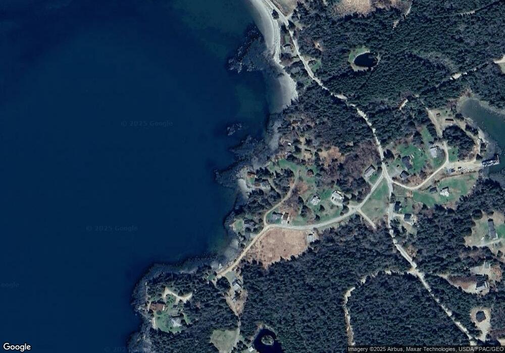
Map
Nearby Homes
- 397 Cape Split Rd
- 00 Eagle Island
- 780 E Side Rd
- 251 Ripley Neck Rd
- M17L21 Basin Rd
- map 17 Basin Rd Unit lot 24
- Lot 15-5 Fort Williams Rd
- Lot # 15-2 Fort Williams Rd
- Lot B Fort Williams Rd
- 29 Reef Point Rd
- Lot 13 Reef Point Rd
- Lot 12 Reef Point Rd
- M20L2 E Side Rd
- 0 Pomp Island Unit 1652405
- 100 Hardwood Point
- 16 & 18 Nelson Way
- Lot 25-3 Flat Bay Dr
- 337 W Side Rd
- Lot #7 Highland Rd
- Lot #8 Seaberry Landing Rd
- 27 Gilman Wass Rd
- 17 Kiye Point
- 31 Gilman Wass Rd
- 22 Kiye Point
- 9 Gilman Wass Rd
- 10 Kiye Point
- 26 Kiye Point
- 42 Gilman Wass Rd
- 46 Gilman Wass Rd
- Lot 18 Gilman Wass Rd
- 1 Gilman Wass Rd
- 3 Gilman Wass Rd
- 401 Cape Split Rd
- 0Unk Gillman Wass Ln
- 440 Cape Split Rd
- 430 Cape Split Rd
- 53 Gilman Wass Rd
- 54 Gilman Wass Rd
- 10 Bar Hill Dr
- 392 Cape Split Rd
Your Personal Tour Guide
Ask me questions while you tour the home.