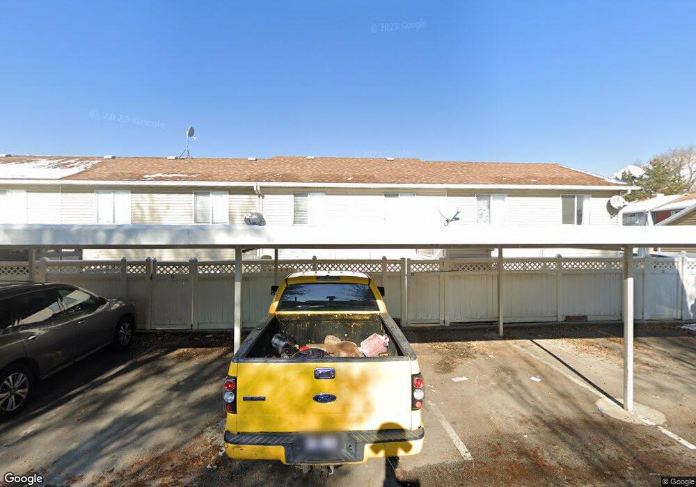
16 N 700 E American Fork, UT 84003
Estimated Value: $339,840 - $361,000
3
Beds
1
Bath
857
Sq Ft
$407/Sq Ft
Est. Value
About This Home
This home is located at 16 N 700 E, American Fork, UT 84003 and is currently estimated at $349,210, approximately $407 per square foot. 16 N 700 E is a home located in Utah County with nearby schools including Barratt Elementary School, American Fork Junior High School, and American Fork High School.
Ownership History
Date
Name
Owned For
Owner Type
Purchase Details
Closed on
Jun 6, 2025
Sold by
Nielson Kari and Nielson Kyle V
Bought by
Kyle And Kari Nielson Trust and Nielson
Current Estimated Value
Purchase Details
Closed on
Mar 6, 2025
Sold by
Nielson Kyle V and Nielson Carolina
Bought by
Kyle And Kari Nielson Trust
Purchase Details
Closed on
Feb 23, 2005
Sold by
Palmer Nathan and Palmer Rebecca
Bought by
Nielson Kyle and Nielson Carolina
Home Financials for this Owner
Home Financials are based on the most recent Mortgage that was taken out on this home.
Original Mortgage
$20,000
Interest Rate
5.65%
Mortgage Type
Stand Alone Second
Purchase Details
Closed on
Oct 22, 1999
Sold by
Johnson Matthew Todd and Johnson Staci L
Bought by
Palmer Nathan and Palmer Rebecca
Home Financials for this Owner
Home Financials are based on the most recent Mortgage that was taken out on this home.
Original Mortgage
$96,900
Interest Rate
7.82%
Create a Home Valuation Report for This Property
The Home Valuation Report is an in-depth analysis detailing your home's value as well as a comparison with similar homes in the area
Home Values in the Area
Average Home Value in this Area
Purchase History
| Date | Buyer | Sale Price | Title Company |
|---|---|---|---|
| Kyle And Kari Nielson Trust | -- | Real Advantage Title | |
| Kyle And Kari Nielson Trust | -- | Real Advantage Title | |
| Nielson Kyle | -- | First American Title Agency | |
| Palmer Nathan | -- | Provo Abstract Company |
Source: Public Records
Mortgage History
| Date | Status | Borrower | Loan Amount |
|---|---|---|---|
| Previous Owner | Nielson Kyle | $20,000 | |
| Previous Owner | Nielson Kyle | $80,000 | |
| Previous Owner | Palmer Nathan | $96,900 |
Source: Public Records
Tax History
| Year | Tax Paid | Tax Assessment Tax Assessment Total Assessment is a certain percentage of the fair market value that is determined by local assessors to be the total taxable value of land and additions on the property. | Land | Improvement |
|---|---|---|---|---|
| 2025 | $1,515 | $170,500 | -- | -- |
| 2024 | $1,515 | $168,355 | $0 | $0 |
| 2023 | $1,420 | $167,310 | $0 | $0 |
| 2022 | $1,357 | $157,740 | $0 | $0 |
| 2021 | $1,305 | $237,000 | $28,400 | $208,600 |
| 2020 | $1,198 | $211,000 | $25,300 | $185,700 |
| 2019 | $1,104 | $201,000 | $23,900 | $177,100 |
| 2018 | $884 | $154,000 | $18,500 | $135,500 |
| 2017 | $901 | $84,700 | $0 | $0 |
| 2016 | $882 | $77,000 | $0 | $0 |
| 2015 | $929 | $77,000 | $0 | $0 |
| 2014 | $804 | $65,725 | $0 | $0 |
Source: Public Records
Map
Nearby Homes
- 16 N 700 E Unit 23
- 16 N 700 E
- 16 N 700 E Unit 25
- 16 N 700 E Unit 26
- 16 N 700 E Unit 27
- 16 N 700 E Unit 20
- 16 N 700 E Unit 19
- 16 N 700 E Unit 17
- 16 N 700 E Unit 16
- 16 N 700 E Unit 15
- 16 N 700 E Unit 14
- 16 N 700 E Unit 13
- 16 N 700 E Unit 12
- 16 N 700 E Unit 11
- 16 N 700 E Unit 10
- 16 N 700 E
- 16 N 700 E Unit 8
- 16 N 700 E
- 16 N 700 E Unit 6
- 16 N 700 E Unit 5
Your Personal Tour Guide
Ask me questions while you tour the home.