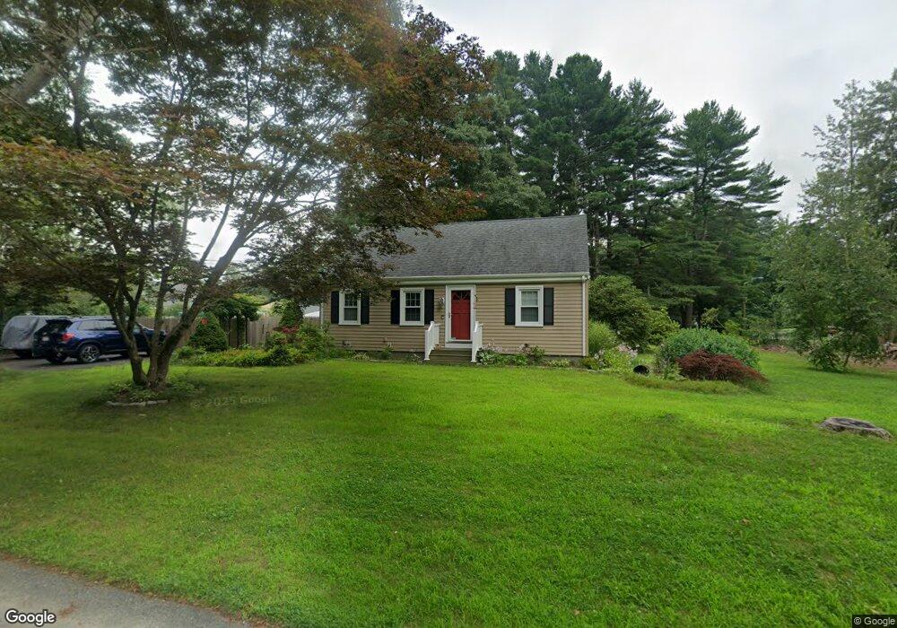
16 Oak St Acushnet, MA 02743
Sherwood Forest NeighborhoodEstimated Value: $428,624 - $447,000
Studio
1
Bath
1,419
Sq Ft
$310/Sq Ft
Est. Value
About This Home
This home is located at 16 Oak St, Acushnet, MA 02743 and is currently estimated at $440,156, approximately $310 per square foot. 16 Oak St is a home located in Bristol County with nearby schools including Acushnet Elementary School, Albert F Ford Middle School, and Alma del Mar Charter School.
Ownership History
Date
Name
Owned For
Owner Type
Purchase Details
Closed on
Jan 17, 1995
Sold by
Robida Roland G and Robida Jeanne P
Bought by
Brum Joseph M and Brum Marylou V
Current Estimated Value
Home Financials for this Owner
Home Financials are based on the most recent Mortgage that was taken out on this home.
Original Mortgage
$104,400
Interest Rate
9.23%
Mortgage Type
Purchase Money Mortgage
Create a Home Valuation Report for This Property
The Home Valuation Report is an in-depth analysis detailing your home's value as well as a comparison with similar homes in the area
Home Values in the Area
Average Home Value in this Area
Purchase History
| Date | Buyer | Sale Price | Title Company |
|---|---|---|---|
| Brum Joseph M | $109,900 | -- |
Source: Public Records
Mortgage History
| Date | Status | Borrower | Loan Amount |
|---|---|---|---|
| Open | Brum Joseph M | $155,000 | |
| Closed | Brum Joseph M | $104,400 |
Source: Public Records
Tax History
| Year | Tax Paid | Tax Assessment Tax Assessment Total Assessment is a certain percentage of the fair market value that is determined by local assessors to be the total taxable value of land and additions on the property. | Land | Improvement |
|---|---|---|---|---|
| 2025 | $38 | $350,800 | $126,100 | $224,700 |
| 2024 | $3,691 | $323,500 | $119,500 | $204,000 |
| 2023 | $3,704 | $308,700 | $108,400 | $200,300 |
| 2022 | $3,660 | $275,800 | $101,800 | $174,000 |
| 2021 | $3,409 | $246,500 | $101,800 | $144,700 |
| 2020 | $3,343 | $239,800 | $95,100 | $144,700 |
| 2019 | $3,166 | $223,300 | $90,700 | $132,600 |
| 2018 | $3,066 | $212,600 | $90,700 | $121,900 |
| 2017 | $2,965 | $205,300 | $90,700 | $114,600 |
| 2016 | $2,983 | $205,300 | $90,700 | $114,600 |
| 2015 | $2,740 | $191,900 | $90,700 | $101,200 |
Source: Public Records
Map
Nearby Homes
- 1015 Forbes St
- 40 Foley Dr
- ES Acushnet Ave
- 941 Bartlett St
- 329 Middle Rd
- 1044 Phillips Rd Unit 20
- 23 Coury Dr
- 7 Hamlin St
- 79 Park Dr
- 765 Pine Hill Dr
- 1044 Victoria St Unit B-29
- 1251 Church St Unit 10
- 1056 Victoria St Unit A-13
- 78 Greenbrier Dr
- 1261 Church St Unit 70
- 1261 Church St Unit 53
- 1261 Church St Unit 85
- 1261 Church St Unit 46
- 0 Church Dutton & Chaffee Unit 73371719
- 37 Maxine St
Your Personal Tour Guide
Ask me questions while you tour the home.