16 Patten Point Rd Spruce Head, ME 04859
Estimated Value: $827,000 - $1,368,000
3
Beds
2
Baths
1,861
Sq Ft
$586/Sq Ft
Est. Value
About This Home
This home is located at 16 Patten Point Rd, Spruce Head, ME 04859 and is currently estimated at $1,090,746, approximately $586 per square foot. 16 Patten Point Rd is a home with nearby schools including Oceanside High School East.
Ownership History
Date
Name
Owned For
Owner Type
Purchase Details
Closed on
Sep 16, 2015
Sold by
Foltz Sara E
Bought by
Omang Joanne and Burnham David B
Current Estimated Value
Home Financials for this Owner
Home Financials are based on the most recent Mortgage that was taken out on this home.
Original Mortgage
$400,000
Outstanding Balance
$298,487
Interest Rate
3%
Mortgage Type
New Conventional
Estimated Equity
$792,259
Create a Home Valuation Report for This Property
The Home Valuation Report is an in-depth analysis detailing your home's value as well as a comparison with similar homes in the area
Home Values in the Area
Average Home Value in this Area
Purchase History
| Date | Buyer | Sale Price | Title Company |
|---|---|---|---|
| Omang Joanne | -- | -- |
Source: Public Records
Mortgage History
| Date | Status | Borrower | Loan Amount |
|---|---|---|---|
| Open | Omang Joanne | $400,000 |
Source: Public Records
Tax History
| Year | Tax Paid | Tax Assessment Tax Assessment Total Assessment is a certain percentage of the fair market value that is determined by local assessors to be the total taxable value of land and additions on the property. | Land | Improvement |
|---|---|---|---|---|
| 2025 | $9,759 | $889,600 | $444,500 | $445,100 |
| 2024 | $8,896 | $684,300 | $341,900 | $342,400 |
| 2023 | $8,496 | $570,200 | $284,900 | $285,300 |
| 2022 | $8,007 | $495,800 | $247,700 | $248,100 |
| 2021 | $11,676 | $495,800 | $247,700 | $248,100 |
| 2019 | $6,941 | $495,800 | $247,700 | $248,100 |
| 2018 | $6,659 | $495,800 | $247,700 | $248,100 |
| 2017 | $5,880 | $446,100 | $247,700 | $198,400 |
| 2016 | $5,880 | $446,100 | $247,700 | $198,400 |
| 2015 | $5,701 | $446,100 | $247,700 | $198,400 |
| 2014 | $5,558 | $446,100 | $247,700 | $198,400 |
Source: Public Records
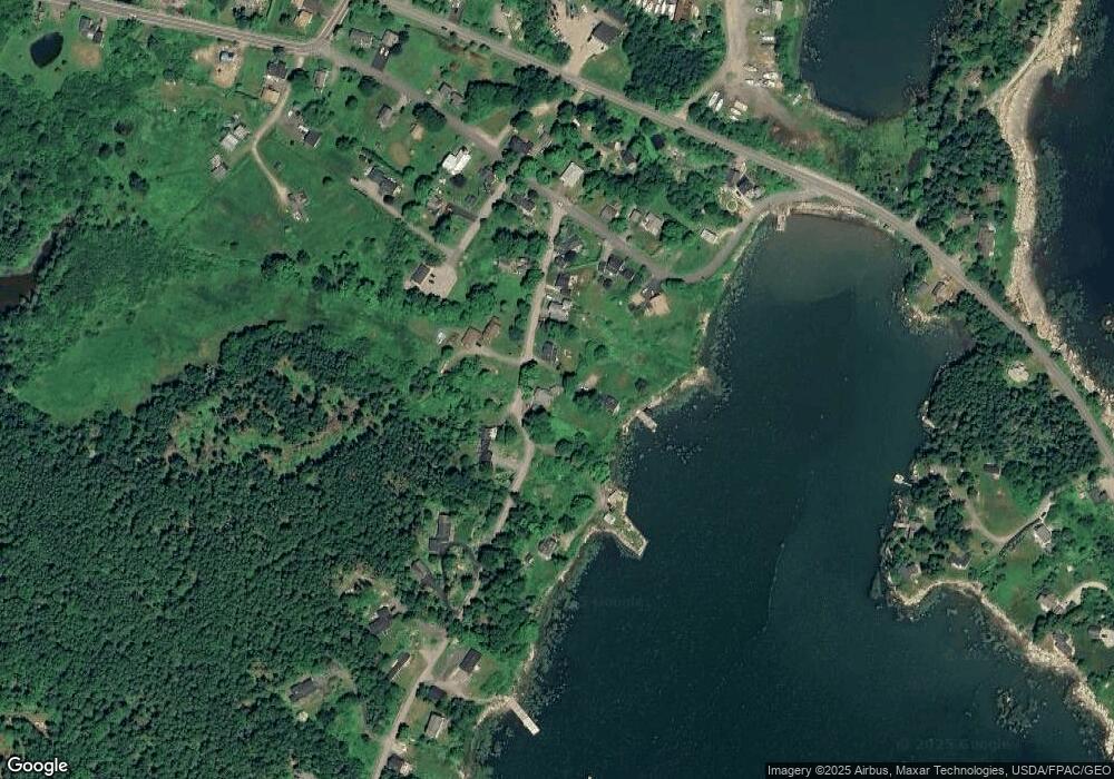
Map
Nearby Homes
- 672 Spruce Head Rd
- 85 Patten Point Rd
- 774 Spruce Head Rd
- 52 Atlantic Quarry Rd
- 5 Little Dog Path
- 8 Powder House Cove Rd
- 50 Cline Rd
- 22 Sawblade Rd
- Lot 54B Harrington Cove Rd
- 12 Country Ln
- 156 Scraggle Point Rd
- 0 Stump Dump Rd
- 142 Clark Island Rd
- 260 Clark Island Rd
- 27 Blacks Ln
- Lot 8 Aspen Dr
- Lots 8 & 9 Aspen Dr
- Lot 9 Aspen Dr
- 53 Elm St
- 29 Punkin Hill Rd
- 18 Patten Point Rd
- 14 Patten Point Rd
- 14 Patten Point Rd
- 21 Patten Point Rd
- 16 Patten Point Rd
- 13 Patten Point Rd
- 13 Patten Point Rd
- 10 Patten Point Rd
- 8 Patten Point Rd
- 8 Patten Point Rd
- 10 Drinkwaters Wharf Rd
- 37 Village Rd
- 5 Patten Point Rd
- 41 Village Rd
- 4 Patten Point Rd
- 13 Drinkwaters Wharf Rd
- 000 Patten Point Rd
- 00 Patten Point Rd
- 16 Village Rd
- 11 Post Ofc Rd
Your Personal Tour Guide
Ask me questions while you tour the home.