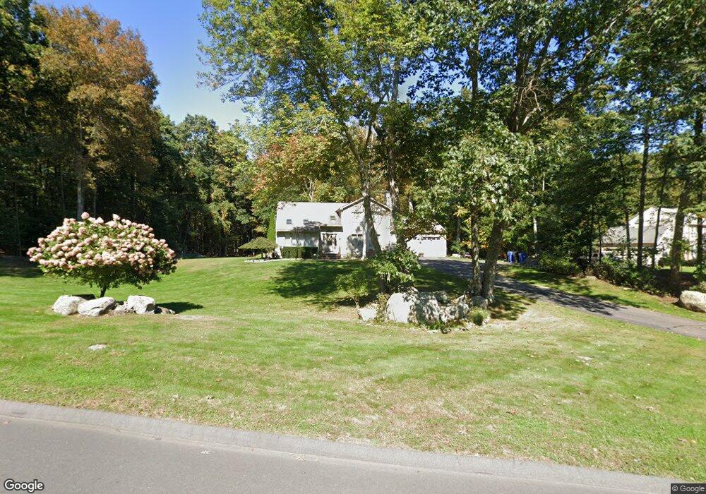
16 Ruops Rd Tolland, CT 06084
Estimated Value: $480,372 - $584,000
4
Beds
3
Baths
2,118
Sq Ft
$250/Sq Ft
Est. Value
About This Home
This home is located at 16 Ruops Rd, Tolland, CT 06084 and is currently estimated at $529,093, approximately $249 per square foot. 16 Ruops Rd is a home located in Tolland County with nearby schools including Tolland High School.
Ownership History
Date
Name
Owned For
Owner Type
Purchase Details
Closed on
Sep 20, 1999
Sold by
Chan Paulus and Chan Meeok
Bought by
Lukasik Elizabeth and Lukasik Monika
Current Estimated Value
Home Financials for this Owner
Home Financials are based on the most recent Mortgage that was taken out on this home.
Original Mortgage
$174,000
Interest Rate
7.83%
Purchase Details
Closed on
Oct 18, 1988
Sold by
Fri Land Equities
Bought by
Chan Paulus
Create a Home Valuation Report for This Property
The Home Valuation Report is an in-depth analysis detailing your home's value as well as a comparison with similar homes in the area
Home Values in the Area
Average Home Value in this Area
Purchase History
| Date | Buyer | Sale Price | Title Company |
|---|---|---|---|
| Lukasik Elizabeth | $217,500 | -- | |
| Lukasik Elizabeth | $217,500 | -- | |
| Chan Paulus | $59,900 | -- |
Source: Public Records
Mortgage History
| Date | Status | Borrower | Loan Amount |
|---|---|---|---|
| Open | Chan Paulus | $169,780 | |
| Closed | Chan Paulus | $210,000 | |
| Closed | Chan Paulus | $174,000 |
Source: Public Records
Tax History
| Year | Tax Paid | Tax Assessment Tax Assessment Total Assessment is a certain percentage of the fair market value that is determined by local assessors to be the total taxable value of land and additions on the property. | Land | Improvement |
|---|---|---|---|---|
| 2025 | $7,676 | $282,300 | $80,200 | $202,100 |
| 2024 | $7,426 | $196,600 | $76,500 | $120,100 |
| 2023 | $7,339 | $196,600 | $76,500 | $120,100 |
| 2022 | $7,192 | $196,600 | $76,500 | $120,100 |
| 2021 | $7,296 | $196,600 | $76,500 | $120,100 |
| 2020 | $7,087 | $196,600 | $76,500 | $120,100 |
| 2019 | $7,488 | $207,700 | $78,900 | $128,800 |
| 2018 | $7,270 | $207,700 | $78,900 | $128,800 |
| 2017 | $7,101 | $207,700 | $78,900 | $128,800 |
| 2016 | $7,101 | $207,700 | $78,900 | $128,800 |
| 2015 | $6,929 | $207,700 | $78,900 | $128,800 |
| 2014 | $7,058 | $227,300 | $87,600 | $139,700 |
Source: Public Records
Map
Nearby Homes
- 159 Anthony Rd
- 137 Anthony Rd
- 0 Tolland Stage Rd Unit 24101836
- 317 Merrow Rd
- 248 Merrow Rd
- 284 Merrow Rd
- 151 Walbridge Hill Rd
- 312 Merrow Rd
- 8 Walbridge Hill Rd
- 33 Josephine Way
- 25 Josephine Way
- 535 Merrow Rd
- 10 Depot Rd Unit 15
- 131 River Rd
- 714 Tolland Stage Rd
- 00 Tolland Stage Rd
- 124 River Rd
- 50 Cook Rd
- 487 Buff Cap Rd
- 217 Old Post Rd
Your Personal Tour Guide
Ask me questions while you tour the home.