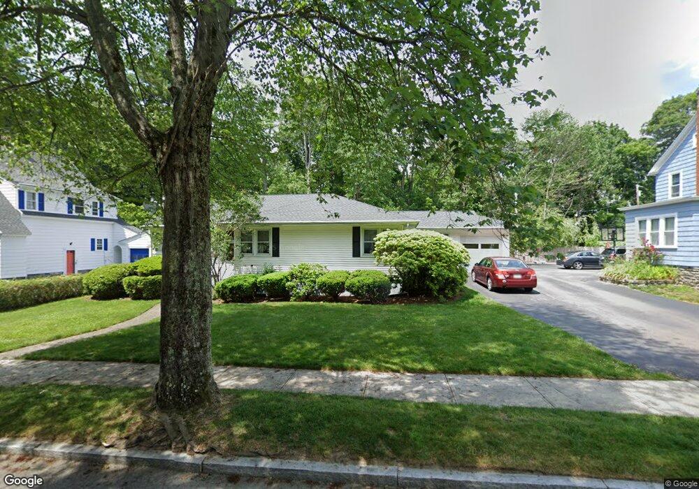
16 S Flagg St Worcester, MA 01602
Newton Square NeighborhoodEstimated Value: $460,000 - $491,000
3
Beds
2
Baths
1,530
Sq Ft
$309/Sq Ft
Est. Value
About This Home
This home is located at 16 S Flagg St, Worcester, MA 01602 and is currently estimated at $473,232, approximately $309 per square foot. 16 S Flagg St is a home located in Worcester County with nearby schools including Chandler Magnet, Jacob Hiatt Magnet School, and Midland Street.
Create a Home Valuation Report for This Property
The Home Valuation Report is an in-depth analysis detailing your home's value as well as a comparison with similar homes in the area
Home Values in the Area
Average Home Value in this Area
Tax History
| Year | Tax Paid | Tax Assessment Tax Assessment Total Assessment is a certain percentage of the fair market value that is determined by local assessors to be the total taxable value of land and additions on the property. | Land | Improvement |
|---|---|---|---|---|
| 2025 | $5,252 | $398,200 | $118,200 | $280,000 |
| 2024 | $5,143 | $374,000 | $118,200 | $255,800 |
| 2023 | $4,989 | $347,900 | $102,800 | $245,100 |
| 2022 | $4,447 | $292,400 | $82,300 | $210,100 |
| 2021 | $4,480 | $275,200 | $65,800 | $209,400 |
| 2020 | $4,304 | $253,200 | $65,800 | $187,400 |
| 2019 | $4,061 | $225,600 | $59,200 | $166,400 |
| 2018 | $3,947 | $208,700 | $59,200 | $149,500 |
| 2017 | $4,011 | $208,700 | $59,200 | $149,500 |
| 2016 | $3,953 | $191,800 | $43,300 | $148,500 |
| 2015 | $3,849 | $191,800 | $43,300 | $148,500 |
| 2014 | $3,713 | $190,000 | $43,300 | $146,700 |
Source: Public Records
Map
Nearby Homes
- 73 Moore Ave
- 860 Pleasant St
- 31 Lenox St
- 10 Wrentham Rd Unit 308
- 16 Sherwood Rd
- 26 Westbrook Rd
- 2 Saxon Rd
- 18 Hadwen Ln
- 15 Chesterfield Rd
- 35 Hadwen Ln
- 10 Perrot St
- 118 Beaconsfield Rd
- 122 Copperfield Rd
- 24 Hadwen Rd
- 47R Yarnie Unit 1B
- 47R Yarnie Unit 4A
- 47R Yarnie Unit 1A
- 7 Longworth Rd
- 42 Ellis Dr
- 23 Orrison St
Your Personal Tour Guide
Ask me questions while you tour the home.