160 Sosebee Ln Demorest, GA 30535
Demorest AreaEstimated Value: $268,000 - $319,000
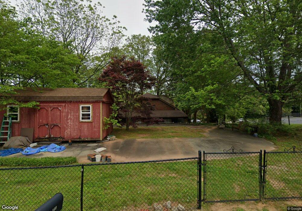
About This Home
This home is located at 160 Sosebee Ln, Demorest, GA 30535 and is currently estimated at $289,590, approximately $202 per square foot. 160 Sosebee Ln is a home with nearby schools including Demorest Elementary School, Wilbanks Middle School, and Habersham Success Academy.
Ownership History
We collect this data history from publicly available records. To have your information removed, we recommend requesting removal directly through your county’s website.
Purchase Details
Home Financials for this Owner
Home Financials are based on the most recent Mortgage that was taken out on this home.Purchase Details
Home Values in the Area
Average Home Value in this Area
Purchase History
We collect this data history from publicly available records. To have your information removed, we recommend requesting removal directly through your county’s website.
| Date | Buyer | Sale Price | Title Company |
|---|---|---|---|
| $149,000 | -- | ||
| $148,643 | -- |
Mortgage History
We collect this data history from publicly available records. To have your information removed, we recommend requesting removal directly through your county’s website.
| Date | Status | Borrower | Loan Amount |
|---|---|---|---|
| Open | $152,040 | ||
| Previous Owner | $25,000 |
Tax History
We collect this data history from publicly available records. To have your information removed, we recommend requesting removal directly through your county’s website.
| Year | Tax Paid | Tax Assessment Tax Assessment Total Assessment is a certain percentage of the fair market value that is determined by local assessors to be the total taxable value of land and additions on the property. | Land | Improvement |
|---|---|---|---|---|
| 2025 | $3,607 | $115,183 | $22,191 | $92,992 |
| 2024 | $2,606 | $100,420 | $15,724 | $84,696 |
| 2023 | $2,153 | $86,100 | $15,724 | $70,376 |
| 2022 | $1,910 | $73,248 | $12,580 | $60,668 |
| 2021 | $1,735 | $66,852 | $12,580 | $54,272 |
| 2020 | $1,601 | $59,520 | $12,580 | $46,940 |
| 2019 | $1,602 | $59,520 | $12,580 | $46,940 |
| 2018 | $1,590 | $59,520 | $12,580 | $46,940 |
| 2017 | $1,498 | $55,772 | $12,580 | $43,192 |
| 2016 | $1,454 | $139,430 | $12,580 | $43,192 |
| 2015 | $1,437 | $139,430 | $12,580 | $43,192 |
| 2014 | $1,438 | $136,960 | $12,580 | $42,204 |
| 2013 | -- | $54,784 | $12,580 | $42,204 |
Map
- 170 Tomlin Aly
- 314 Holley St
- 1910 Hancock Rd
- 139 Saluda Dr
- 121 Saluda Dr
- 637 Bald Ridge Cir
- 615 Bald Ridge Cir
- 610 Bald Ridge Cir
- 668 Bald Ridge Cir
- 620 Bald Ridge Cir
- 629 Bald Ridge Cir
- 642 Bald Ridge Cir
- 654 Bald Ridge Cir
- 646 Bald Ridge Cir
- 650 Bald Ridge Cir
- 151 Ivy St
- 210 Kentucky Dr
- 241 Legacy Dr
- 144 Georgia St
- 261 Legacy Dr
- 172 Sosebee Ln
- 0 Rockhouse Ln Unit 2 2879873
- 8 Rockhouse Crossing
- 18 Rockhouse Ln
- 17 Rockhouse Ln
- 13 Rockhouse Crossing
- 12 Rockhouse Crossing
- 11 Rockhouse Crossing
- 16 Rockhouse Ln
- 14 Rockhouse Crossing
- 0 New York St Unit 2946865
- 0 Wayward Winds Dr Unit LOT 2 3122713
- 0 Lake Front Dr Unit LT 5D 3268659
- 0 New York St Unit 3278010
- 0 Wayward Winds Dr Unit 9063635
- 0 Wayward Winds Dr Unit 6954691
- 500 Shook and Garrett Rd Unit 13
- 824 Central Ave
- 196 Sosebee Ln
- 834 Central Ave
Ask me questions while you tour the home.