Estimated Value: $484,000 - $576,000
About This Home
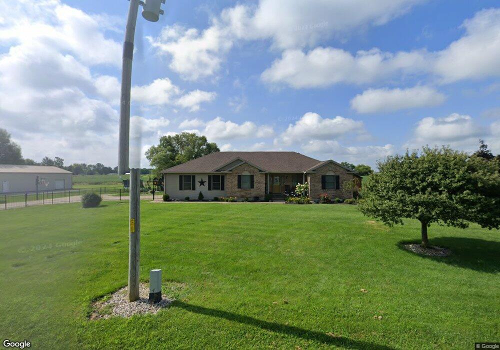
This home is located at 1600 Surface Rd, Eaton, OH 45320 and is currently estimated at $519,011, approximately $273 per square foot. 1600 Surface Rd is a home located in Preble County with nearby schools including Hollingsworth East Elementary School, William Bruce Elementary School, and Eaton Middle School.
Ownership History
We collect this data history from publicly available records. To have your information removed, we recommend requesting removal directly through your county’s website.
Purchase Details
Home Financials for this Owner
Home Financials are based on the most recent Mortgage that was taken out on this home.Purchase Details
Home Financials for this Owner
Home Financials are based on the most recent Mortgage that was taken out on this home.Purchase Details
Purchase History
We collect this data history from publicly available records. To have your information removed, we recommend requesting removal directly through your county’s website.
| Date | Buyer | Sale Price | Title Company |
|---|---|---|---|
| -- | New Title Company Name | ||
| -- | -- | ||
| $22,500 | None Available |
Mortgage History
We collect this data history from publicly available records. To have your information removed, we recommend requesting removal directly through your county’s website.
| Date | Status | Borrower | Loan Amount |
|---|---|---|---|
| Open | $407,550 | ||
| Previous Owner | $255,375 | ||
| Previous Owner | -- |
Tax History
We collect this data history from publicly available records. To have your information removed, we recommend requesting removal directly through your county’s website.
| Year | Tax Paid | Tax Assessment Tax Assessment Total Assessment is a certain percentage of the fair market value that is determined by local assessors to be the total taxable value of land and additions on the property. | Land | Improvement |
|---|---|---|---|---|
| 2025 | $4,982 | $142,590 | $9,730 | $132,860 |
| 2024 | $4,982 | $142,590 | $9,730 | $132,860 |
| 2023 | $4,925 | $142,590 | $9,730 | $132,860 |
| 2022 | $3,790 | $88,910 | $8,860 | $80,050 |
| 2021 | $3,980 | $88,910 | $8,860 | $80,050 |
| 2020 | $3,830 | $88,910 | $8,860 | $80,050 |
| 2019 | $3,393 | $78,190 | $7,630 | $70,560 |
| 2018 | $3,501 | $78,190 | $7,630 | $70,560 |
| 2017 | $3,499 | $78,190 | $7,630 | $70,560 |
| 2016 | $2,908 | $68,990 | $7,420 | $61,570 |
| 2014 | $2,946 | $70,140 | $7,420 | $62,720 |
| 2013 | $2,946 | $70,140 | $7,420 | $62,720 |
Map
- 4467 Eaton Gettysburg Rd
- 1016 Alexander Rd
- 121 Alexander Rd
- 4822 US Route 35
- 0 Washington Jackson Rd Unit 1516310
- 100 Valley Forge Ct
- 1747 N Barron St
- 519 Romadoor Ave Unit 520
- 0 Lexington Rd E Unit 961003
- 109 Martha Ct
- 104 Martha Ct
- 125 Arlington Dr
- 200 Arlington Dr
- 301 Arlington Dr
- 113 Calvert Ct
- 108 Calvert Ct
- 104 Calvert Ct
- 101 Calvert Ct
- 109 Calvert Ct
- 201 Eaton Ave
- 1583 Surface Rd
- 1560 Surface Rd
- 1520 Surface Rd
- 1341 Surface Rd
- 1515 Surface Rd
- 1476 Surface Rd
- 1458 Surface Rd
- 1422 Surface Rd
- 1404 Surface Rd
- 1368 Surface Rd
- 1386 Surface Rd
- 1350 Surface Rd
- 1323 Surface Rd
- 1738 Surface Rd
- 1326 Surface Rd
- 1312 Surface Rd
- 0 Surface Rd
- 1891 Surface Rd
- 1302 Surface Rd
- 1496 Surface Rd
Ask me questions while you tour the home.