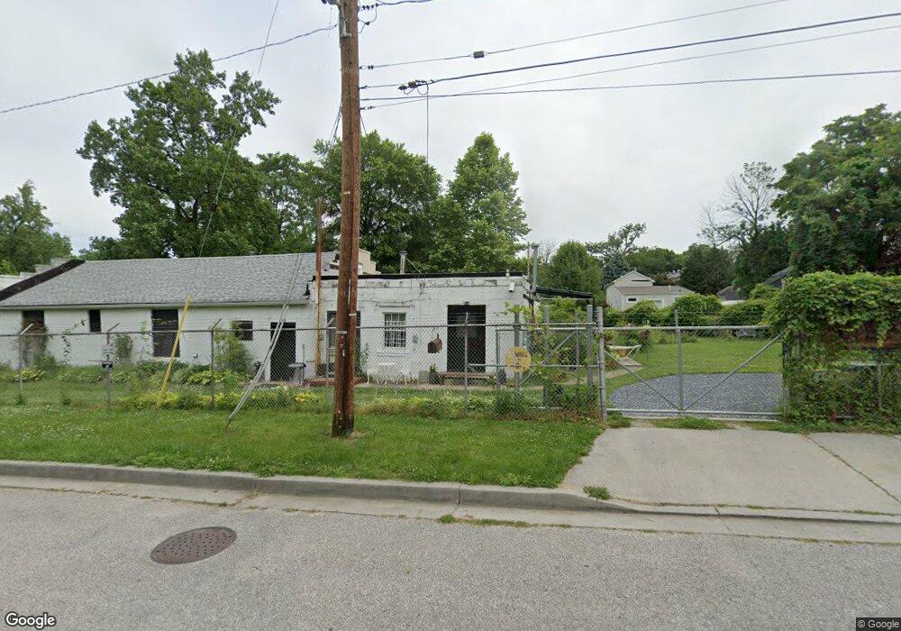
1601 Harman Ave Baltimore, MD 21230
Morrell Park NeighborhoodEstimated Value: $433,822
About This Home
This home is located at 1601 Harman Ave, Baltimore, MD 21230 and is currently priced at $433,822, approximately $161 per square foot. 1601 Harman Ave is a home located in Baltimore City with nearby schools including Morrell Park Elementary/Middle School, Booker T. Washington Middle School, and Digital Harbor High School.
Ownership History
We collect this data history from publicly available records. To have your information removed, we recommend requesting removal directly through your county’s website.
Purchase Details
Purchase Details
Home Financials for this Owner
Home Financials are based on the most recent Mortgage that was taken out on this home.Home Values in the Area
Average Home Value in this Area
Purchase History
We collect this data history from publicly available records. To have your information removed, we recommend requesting removal directly through your county’s website.
| Date | Buyer | Sale Price | Title Company |
|---|---|---|---|
| $250,000 | Residential Title & Escrow C | ||
| $193,000 | -- |
Mortgage History
We collect this data history from publicly available records. To have your information removed, we recommend requesting removal directly through your county’s website.
| Date | Status | Borrower | Loan Amount |
|---|---|---|---|
| Previous Owner | $154,400 |
Tax History
We collect this data history from publicly available records. To have your information removed, we recommend requesting removal directly through your county’s website.
| Year | Tax Paid | Tax Assessment Tax Assessment Total Assessment is a certain percentage of the fair market value that is determined by local assessors to be the total taxable value of land and additions on the property. | Land | Improvement |
|---|---|---|---|---|
| 2025 | $6,074 | $278,600 | -- | -- |
| 2024 | $6,074 | $258,600 | -- | -- |
| 2023 | $5,604 | $238,600 | $89,900 | $148,700 |
| 2022 | $5,583 | $236,567 | $0 | $0 |
| 2021 | $5,535 | $234,533 | $0 | $0 |
| 2020 | $5,487 | $232,500 | $89,900 | $142,600 |
| 2019 | $5,422 | $230,867 | $0 | $0 |
| 2018 | $5,410 | $229,233 | $0 | $0 |
| 2017 | $5,371 | $227,600 | $0 | $0 |
| 2016 | $2,530 | $187,167 | $0 | $0 |
| 2015 | $2,530 | $146,733 | $0 | $0 |
| 2014 | $2,530 | $106,300 | $0 | $0 |
Map
- 1707 Harman Ave
- 1703 - 1707 1/2 Spence St
- 1637 Spence St
- 1701 Spence St
- 2305 Herkimer St
- 2310 James St
- 2360 Washington Blvd
- 2453 Washington Blvd
- 1915 Griffis Ave
- 2365 Washington Blvd
- 1909 Harman Ave
- 1931 Griffis Ave
- 1933 Griffis Ave
- 1918 Griffis Ave
- 2609 Washington Blvd
- 2006 Whistler Ave
- 1918 Parksley Ave
- 2039 Grinnalds Ave
- 1808 Desoto Rd
- 2145 Harman Ave
- 1626 Sexton St
- 1622 Sexton St
- 1628 Sexton St
- 1630 Sexton St
- 1618 Sexton St
- 1616 Sexton St
- 1702 Sexton St
- 2419 Herkimer St
- 1631 Sexton St
- 1633 Sexton St
- 1629 Sexton St
- 2417 Herkimer St
- 1627 Sexton St
- 2415 Georgetown Rd
- 2411 Georgetown Rd
- 2405 Georgetown Rd
- 2403 Georgetown Rd
- 2401 Georgetown Rd
- 1614 Sexton St
- 2415 Herkimer St
Ask me questions while you tour the home.