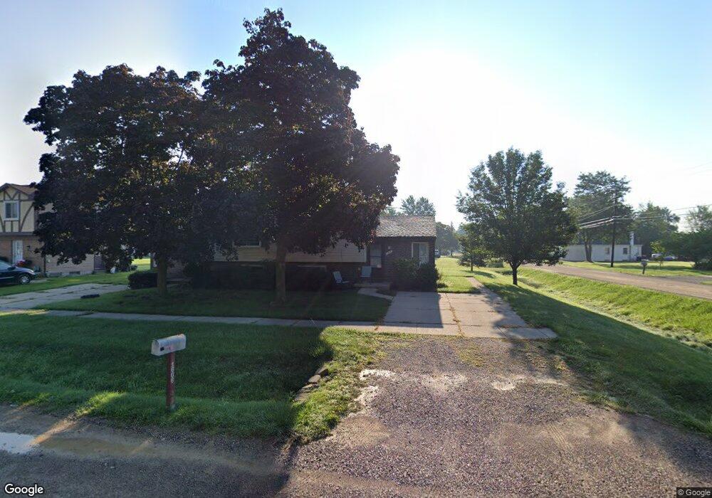
1606 Brookline St Canton, MI 48187
Estimated Value: $318,000 - $459,000
4
Beds
4
Baths
2,712
Sq Ft
$140/Sq Ft
Est. Value
About This Home
This home is located at 1606 Brookline St, Canton, MI 48187 and is currently estimated at $379,120, approximately $139 per square foot. 1606 Brookline St is a home located in Wayne County with nearby schools including Canton High School, Discovery Middle School, and Salem High School.
Ownership History
Date
Name
Owned For
Owner Type
Purchase Details
Closed on
May 10, 2024
Sold by
Doman Joseph and Doman Rachel
Bought by
Doman Joseph
Current Estimated Value
Home Financials for this Owner
Home Financials are based on the most recent Mortgage that was taken out on this home.
Original Mortgage
$381,443
Outstanding Balance
$379,040
Interest Rate
12%
Mortgage Type
Credit Line Revolving
Estimated Equity
$80
Purchase Details
Closed on
Jul 25, 2016
Sold by
Green Robert and Green Leta Gayle
Bought by
Doman Joseph
Home Financials for this Owner
Home Financials are based on the most recent Mortgage that was taken out on this home.
Original Mortgage
$129,000
Interest Rate
3.48%
Mortgage Type
New Conventional
Purchase Details
Closed on
Apr 24, 2000
Sold by
Erwin Ronald T
Bought by
Green Leta G
Create a Home Valuation Report for This Property
The Home Valuation Report is an in-depth analysis detailing your home's value as well as a comparison with similar homes in the area
Home Values in the Area
Average Home Value in this Area
Purchase History
We collect this data history from publicly available records. To have your information removed, we recommend requesting removal directly through your county’s website.
| Date | Buyer | Sale Price | Title Company |
|---|---|---|---|
| Doman Joseph | -- | None Listed On Document | |
| Doman Joseph | -- | None Listed On Document | |
| Doman Joseph | $172,000 | Attorney | |
| Green Leta G | $202,500 | -- |
Source: Public Records
Mortgage History
We collect this data history from publicly available records. To have your information removed, we recommend requesting removal directly through your county’s website.
| Date | Status | Borrower | Loan Amount |
|---|---|---|---|
| Open | Doman Joseph | $381,443 | |
| Closed | Doman Joseph | $381,443 | |
| Previous Owner | Doman Joseph | $129,000 |
Source: Public Records
Tax History
| Year | Tax Paid | Tax Assessment Tax Assessment Total Assessment is a certain percentage of the fair market value that is determined by local assessors to be the total taxable value of land and additions on the property. | Land | Improvement |
|---|---|---|---|---|
| 2025 | $4,504 | $175,900 | $0 | $0 |
| 2024 | $4,372 | $147,800 | $0 | $0 |
| 2023 | $4,166 | $143,100 | $0 | $0 |
| 2022 | $6,703 | $130,300 | $0 | $0 |
| 2021 | $6,500 | $121,800 | $0 | $0 |
| 2020 | $6,413 | $123,200 | $0 | $0 |
| 2019 | $6,300 | $120,320 | $0 | $0 |
| 2018 | $3,586 | $100,180 | $0 | $0 |
| 2017 | $4,744 | $98,800 | $0 | $0 |
| 2016 | $4,808 | $100,000 | $0 | $0 |
| 2015 | $7,924 | $91,050 | $0 | $0 |
| 2013 | $7,676 | $80,010 | $0 | $0 |
| 2010 | -- | $86,160 | $37,227 | $48,933 |
Source: Public Records
Map
Nearby Homes
- 1607 Brookline St
- 1567 Marlowe St
- 1822 N Sheldon Rd
- 1399 Elmhurst St
- 58560 Stuart Dr
- 44413 Savery Dr Unit 141
- 2057 W Franklin Dr Unit 41
- 44150 Duchess Dr
- 1344 Saltz Ct
- 43603 Emrick Dr
- 2041 W Franklin Dr Unit 48
- 45189 Horseshoe Cir Unit 19
- 5903 Beaufort Dr
- 44035 Westminister Way
- 44089 Harsdale Dr
- 43737 Westminister Way
- 1112 Starwood Ln
- 44088 Yorkshire Dr
- 1584 Commodore Cir Unit 33
- 1216 Orchid Cir Unit 18
- 1628 Brookline St
- 1636 Brookline St
- 44129 Gordon St
- 1618 Brookline St
- 0 Brookline St
- 1652 Brookline St
- 1572 Brookline St
- 1621 Elmhurst St
- 1621 Elmhurst St Unit Bldg-Unit
- 1621 Elmhurst St
- 44115 Gordon St
- 1644 Brookline St
- 1625 Brookline St
- 1657 Elmhurst St
- 44305 Gordon St
- 1558 Brookline St Unit Bldg-Unit
- 1558 Brookline St
- 1633 Brookline St
- 1664 Brookline St
- 1567 Brookline St
Your Personal Tour Guide
Ask me questions while you tour the home.