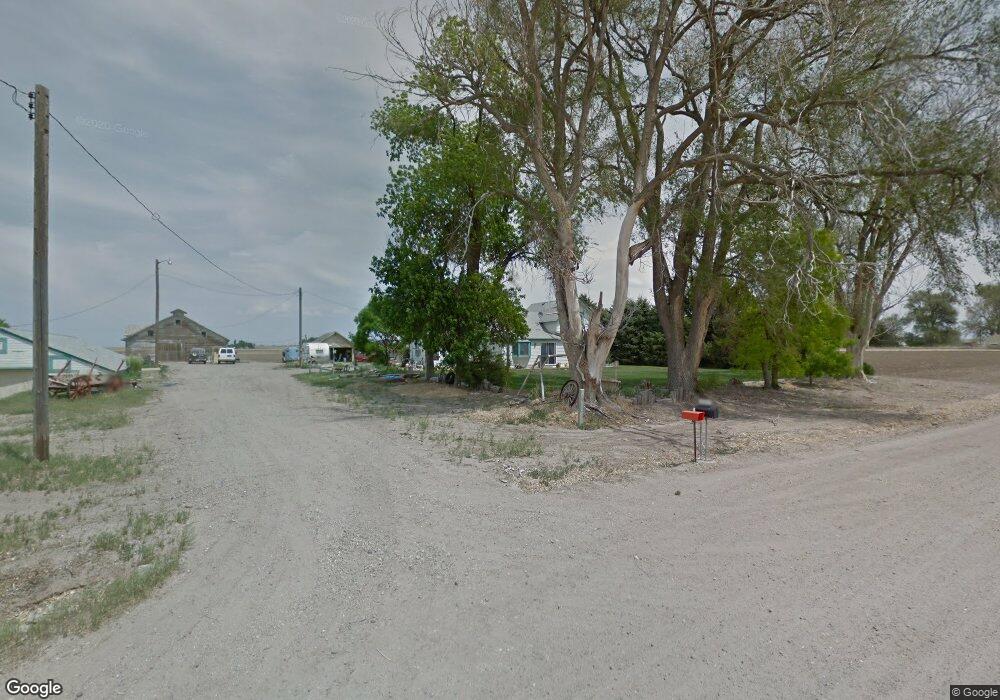
160870 County Road D Mitchell, NE 69357
Estimated Value: $121,000 - $257,000
About This Home
This home is located at 160870 County Road D, Mitchell, NE 69357 and is currently estimated at $175,553, approximately $99 per square foot. 160870 County Road D is a home with nearby schools including Mitchell Elementary School and Mitchell Secondary School.
Ownership History
We collect this data history from publicly available records. To have your information removed, we recommend requesting removal directly through your county’s website.
Purchase Details
Home Financials for this Owner
Home Financials are based on the most recent Mortgage that was taken out on this home.Purchase History
We collect this data history from publicly available records. To have your information removed, we recommend requesting removal directly through your county’s website.
| Date | Buyer | Sale Price | Title Company |
|---|---|---|---|
| $119,000 | Nebraska Title Company |
Mortgage History
We collect this data history from publicly available records. To have your information removed, we recommend requesting removal directly through your county’s website.
| Date | Status | Borrower | Loan Amount |
|---|---|---|---|
| Open | $113,050 |
Tax History
We collect this data history from publicly available records. To have your information removed, we recommend requesting removal directly through your county’s website.
| Year | Tax Paid | Tax Assessment Tax Assessment Total Assessment is a certain percentage of the fair market value that is determined by local assessors to be the total taxable value of land and additions on the property. | Land | Improvement |
|---|---|---|---|---|
| 2025 | $771 | $78,495 | $24,400 | $54,095 |
| 2024 | $766 | $74,490 | $24,400 | $50,090 |
| 2023 | $864 | $56,056 | $15,750 | $40,306 |
| 2022 | $864 | $56,056 | $15,750 | $40,306 |
| 2021 | $843 | $53,750 | $15,750 | $38,000 |
| 2020 | $810 | $50,755 | $15,750 | $35,005 |
| 2019 | $4,208 | $266,810 | $209,245 | $57,565 |
| 2018 | $4,290 | $266,810 | $209,245 | $57,565 |
| 2017 | $4,428 | $272,360 | $214,795 | $57,565 |
| 2016 | $4,448 | $271,138 | $214,795 | $56,343 |
| 2015 | $4,199 | $265,787 | $211,085 | $54,702 |
| 2014 | $3,966 | $247,592 | $192,890 | $54,702 |
| 2012 | -- | $212,377 | $157,675 | $54,702 |
Map
- 50160 Hilyard Dr
- 150265 Cr F
- 1806 13th Ave
- TBD Highway 29
- 2009 Barthuly Dr
- CR K Cr 31
- 2033 Barthuly Dr
- 1421 Broadway St
- 60043 Mccain Rd
- 1450 17th Ave
- 2026 18th St
- 1712 22nd Ave
- 0 County Road A
- 40341 Highway 71
- 60208 Highway 71
- 50170 Leisure Ln
- 50144 Panorama Dr
- Legacy Feeders Unit LLC
- 90208 County Road 19
- 4501 Cottonwood Ave
- 170072 County Road D
- 170037 Cr D
- 170037 County Road D
- 40190 Cr 17
- 40190 County Road 17
- 30601 County Road 17
- 40384 County Road 17
- 40384 Cr 17
- 30497 County Road 17
- 30497 Cr 17
- 160416 County Road D
- 40465 County Road 17
- 40587 County Road 17
- 40652 County Road 17
- 30284 County Road 17
- 160913 County Road C
- 40140 Cook Oil Rd
- 40455 Cook Oil Rd
Ask me questions while you tour the home.