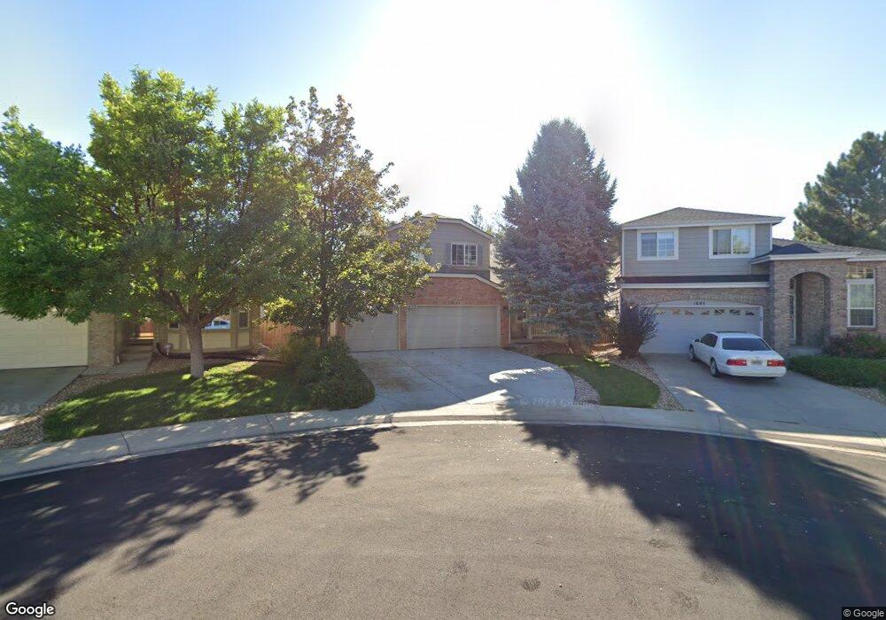
1609 E 131st Cir Thornton, CO 80241
Hunters Glen NeighborhoodEstimated Value: $555,758 - $583,000
3
Beds
4
Baths
2,308
Sq Ft
$245/Sq Ft
Est. Value
About This Home
This home is located at 1609 E 131st Cir, Thornton, CO 80241 and is currently estimated at $564,690, approximately $244 per square foot. 1609 E 131st Cir is a home located in Adams County with nearby schools including Hunters Glen Elementary School, Century Middle School, and Mountain Range High School.
Ownership History
Date
Name
Owned For
Owner Type
Purchase Details
Closed on
Mar 13, 2024
Sold by
Mao Xin
Bought by
Lyle Xin M and Lee Lyle David
Current Estimated Value
Purchase Details
Closed on
Jul 22, 2004
Sold by
Baggett Joe Bob L and Baggett Michelle M
Bought by
Lee Mao Xin and Lee Lyle David
Home Financials for this Owner
Home Financials are based on the most recent Mortgage that was taken out on this home.
Original Mortgage
$204,000
Interest Rate
6.3%
Mortgage Type
Unknown
Purchase Details
Closed on
Mar 19, 1999
Sold by
Kdb Homes Inc
Bought by
Hillhouse Brian H and Richardson Kimberly L
Home Financials for this Owner
Home Financials are based on the most recent Mortgage that was taken out on this home.
Original Mortgage
$189,900
Interest Rate
6.74%
Create a Home Valuation Report for This Property
The Home Valuation Report is an in-depth analysis detailing your home's value as well as a comparison with similar homes in the area
Home Values in the Area
Average Home Value in this Area
Purchase History
We collect this data history from publicly available records. To have your information removed, we recommend requesting removal directly through your county’s website.
| Date | Buyer | Sale Price | Title Company |
|---|---|---|---|
| Lyle Xin M | -- | None Listed On Document | |
| Lee Mao Xin | $255,000 | Guardian Title Agency Llc | |
| Hillhouse Brian H | $199,900 | -- |
Source: Public Records
Mortgage History
We collect this data history from publicly available records. To have your information removed, we recommend requesting removal directly through your county’s website.
| Date | Status | Borrower | Loan Amount |
|---|---|---|---|
| Previous Owner | Lee Mao Xin | $204,000 | |
| Previous Owner | Hillhouse Brian H | $189,900 |
Source: Public Records
Tax History
| Year | Tax Paid | Tax Assessment Tax Assessment Total Assessment is a certain percentage of the fair market value that is determined by local assessors to be the total taxable value of land and additions on the property. | Land | Improvement |
|---|---|---|---|---|
| 2025 | $3,593 | $36,180 | $8,500 | $27,680 |
| 2024 | $3,593 | $33,250 | $7,810 | $25,440 |
| 2023 | $3,556 | $38,420 | $7,100 | $31,320 |
| 2022 | $2,974 | $27,000 | $7,300 | $19,700 |
| 2021 | $3,073 | $27,000 | $7,300 | $19,700 |
| 2020 | $3,016 | $27,030 | $7,510 | $19,520 |
| 2019 | $3,022 | $27,030 | $7,510 | $19,520 |
| 2018 | $2,732 | $23,740 | $7,490 | $16,250 |
| 2017 | $2,484 | $23,740 | $7,490 | $16,250 |
| 2016 | $2,116 | $19,690 | $5,170 | $14,520 |
| 2015 | $2,113 | $19,690 | $5,170 | $14,520 |
| 2014 | -- | $16,120 | $3,580 | $12,540 |
Source: Public Records
Map
Nearby Homes
- 12953 Lafayette St Unit B
- 12937 Lafayette St Unit G
- 12933 Lafayette St Unit B
- 1272 E 130th Ave Unit D
- 12905 Lafayette St Unit H
- 1222 E 130th Ave Unit B
- 1224 E 130th Ave Unit C
- 1100 E 130th Ave Unit D
- 12876 Vine St
- 25 Blue Heron Dr
- 13339 Gaylord St
- 13348 Downing St
- 13368 Downing St
- 61 Blue Heron Dr
- 820 E 131st Place
- 2275 E 129th Ave
- 2035 E 125th Place
- 12902 Clarkson Cir
- 857 E 132nd Dr
- 2297 E 128th Ave
- 1611 E 131st Cir
- 1605 E 131st Cir
- 1615 E 131st Cir
- 1601 E 131st Cir
- 1619 E 131st Cir
- 1620 E 131st Cir
- 1621 E 131st Cir
- 1614 E 131st Cir
- 1594 E 131st Place
- 1572 E 130th Ct
- 1608 E 131st Cir
- 1626 E 131st Cir
- 1625 E 131st Cir
- 1602 E 131st Cir
- 1582 E 130th Ct
- 1562 E 130th Ct
- 1584 E 131st Place
- 1629 E 131st Cir
- 1632 E 131st Cir
- 1642 E 131st Cir
Your Personal Tour Guide
Ask me questions while you tour the home.