161 Buckskin Dr Wayland, MA 01778
Estimated Value: $2,155,111 - $2,628,000
About This Home
This home is located at 161 Buckskin Dr, Wayland, MA 01778 and is currently estimated at $2,295,028, approximately $637 per square foot. 161 Buckskin Dr is a home located in Middlesex County with nearby schools including Wayland High School and Meadowbrook School.
Ownership History
We collect this data history from publicly available records. To have your information removed, we recommend requesting removal directly through your county’s website.
Purchase Details
Purchase Details
Home Financials for this Owner
Home Financials are based on the most recent Mortgage that was taken out on this home.Purchase Details
Home Financials for this Owner
Home Financials are based on the most recent Mortgage that was taken out on this home.Purchase Details
Home Values in the Area
Average Home Value in this Area
Purchase History
We collect this data history from publicly available records. To have your information removed, we recommend requesting removal directly through your county’s website.
| Date | Buyer | Sale Price | Title Company |
|---|---|---|---|
| -- | -- | ||
| -- | -- | ||
| -- | -- | ||
| $917,500 | -- | ||
| $917,500 | -- | ||
| $620,000 | -- |
Mortgage History
We collect this data history from publicly available records. To have your information removed, we recommend requesting removal directly through your county’s website.
| Date | Status | Borrower | Loan Amount |
|---|---|---|---|
| Previous Owner | $220,000 | ||
| Previous Owner | $400,000 |
Tax History
We collect this data history from publicly available records. To have your information removed, we recommend requesting removal directly through your county’s website.
| Year | Tax Paid | Tax Assessment Tax Assessment Total Assessment is a certain percentage of the fair market value that is determined by local assessors to be the total taxable value of land and additions on the property. | Land | Improvement |
|---|---|---|---|---|
| 2025 | $23,608 | $1,510,400 | $683,600 | $826,800 |
| 2024 | $22,350 | $1,440,100 | $650,800 | $789,300 |
| 2023 | $20,919 | $1,256,400 | $591,800 | $664,600 |
| 2022 | $20,361 | $1,109,600 | $490,800 | $618,800 |
| 2021 | $19,739 | $1,065,800 | $446,700 | $619,100 |
| 2020 | $18,929 | $1,065,800 | $446,700 | $619,100 |
| 2019 | $18,167 | $993,800 | $425,700 | $568,100 |
| 2018 | $17,426 | $966,500 | $425,700 | $540,800 |
| 2017 | $16,983 | $936,200 | $412,400 | $523,800 |
| 2016 | $16,022 | $924,000 | $421,500 | $502,500 |
| 2015 | $16,288 | $885,700 | $421,500 | $464,200 |
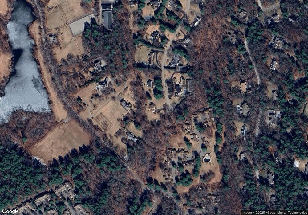
Map
- 12 Brandywyne
- 2 Daybreak
- 202 Dahlia Dr
- 233 Rice Rd
- 82 Deer Path Ln
- 21 Westerly Rd
- 16 Coltsway Unit 16CW
- 5 Deer Path Ln
- 172 Country Dr
- 43 Pine St
- 16 Indian Dawn Unit 16
- 21 Hillside Dr Unit 21
- 12 Forest Hill Rd
- 18 Indian Dawn Unit 18D
- 17 Deer Run
- 132 Country Dr
- 64 Country Dr
- 17 Wadsworth Ln Unit 17
- 4 Lakespur
- 680 South Ave Unit 7
Ask me questions while you tour the home.