161 Grimplin Rd Vanderbilt, PA 15486
Estimated Value: $315,000 - $415,787
4
Beds
2
Baths
3,060
Sq Ft
$117/Sq Ft
Est. Value
About This Home
This home is located at 161 Grimplin Rd, Vanderbilt, PA 15486 and is currently estimated at $357,262, approximately $116 per square foot. 161 Grimplin Rd is a home located in Fayette County with nearby schools including Uniontown Area Senior High School.
Ownership History
Date
Name
Owned For
Owner Type
Purchase Details
Closed on
Nov 17, 2008
Sold by
Klinger Raymond and Klinger Jill
Bought by
Klinger Jill
Current Estimated Value
Home Financials for this Owner
Home Financials are based on the most recent Mortgage that was taken out on this home.
Original Mortgage
$85,200
Outstanding Balance
$57,049
Interest Rate
6.49%
Mortgage Type
New Conventional
Estimated Equity
$300,213
Create a Home Valuation Report for This Property
The Home Valuation Report is an in-depth analysis detailing your home's value as well as a comparison with similar homes in the area
Home Values in the Area
Average Home Value in this Area
Purchase History
| Date | Buyer | Sale Price | Title Company |
|---|---|---|---|
| Klinger Jill | -- | None Available |
Source: Public Records
Mortgage History
| Date | Status | Borrower | Loan Amount |
|---|---|---|---|
| Open | Klinger Jill | $85,200 |
Source: Public Records
Tax History
| Year | Tax Paid | Tax Assessment Tax Assessment Total Assessment is a certain percentage of the fair market value that is determined by local assessors to be the total taxable value of land and additions on the property. | Land | Improvement |
|---|---|---|---|---|
| 2025 | $2,076 | $81,565 | $17,075 | $64,490 |
| 2024 | $1,980 | $81,565 | $17,075 | $64,490 |
| 2023 | $3,960 | $81,565 | $17,075 | $64,490 |
| 2022 | $3,960 | $81,565 | $17,075 | $64,490 |
| 2021 | $3,960 | $81,565 | $17,075 | $64,490 |
| 2020 | $3,868 | $81,565 | $17,075 | $64,490 |
| 2019 | $3,586 | $81,565 | $17,075 | $64,490 |
| 2018 | $3,395 | $81,565 | $17,075 | $64,490 |
| 2017 | $3,395 | $81,565 | $17,075 | $64,490 |
| 2016 | -- | $81,565 | $17,075 | $64,490 |
| 2015 | -- | $81,565 | $17,075 | $64,490 |
| 2014 | -- | $163,130 | $34,150 | $128,980 |
Source: Public Records
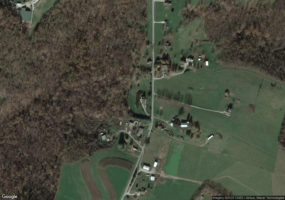
Map
Nearby Homes
- 405 1st St
- 239 Main St
- 65 Sandrock Rd
- 0 Curfew Rd
- 133 Cemetery Rd
- 312 Flatwoods Rd
- 0 Alpine Ln Unit 1706795
- 108 Chalfant St
- 199 Water St
- 118 Hill Farm Rd
- SR 51 Vances Mill Rd
- 3111 1st St
- 343 Vanderbilt Rd
- 242 Union St
- 109 Laughlin St
- 111 Laughlin St
- 504 Howell St
- 145 Grant St
- 325 Laughlin St
- 819 Bute Rd
- 0 Grimplin Rd Unit 1048519
- 146 Grimplin Rd
- 147 Grimplin Rd
- 181 Grimplin Rd
- 191 Grimplin Rd
- 170 Grimplin Rd
- 138 Grimplin Rd
- 142 Grimplin Rd
- 198 Grimplin Rd
- 174 Grimplin Rd
- 160 Grimplin Rd
- 120 Grimplin Rd
- 216 Grimplin Rd
- 35 Cooper Rd
- 28 Cooper Rd
- 552 Reservoir Rd
- 589 Reservoir Rd
- 518 Reservoir Rd
- 205 Bolden Rd
- 219 Bolden Rd
Your Personal Tour Guide
Ask me questions while you tour the home.