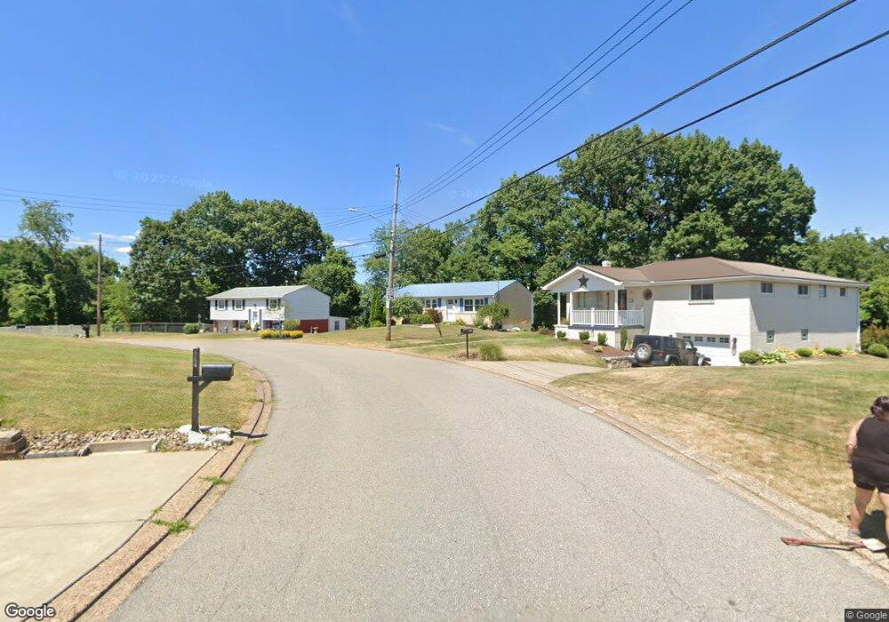
161 William Cir Mc Kees Rocks, PA 15136
Estimated Value: $178,436 - $228,000
2
Beds
1
Bath
1,025
Sq Ft
$199/Sq Ft
Est. Value
About This Home
This home is located at 161 William Cir, Mc Kees Rocks, PA 15136 and is currently estimated at $203,859, approximately $198 per square foot. 161 William Cir is a home located in Allegheny County with nearby schools including Sto-Rox Upper Elementary School, Sto-Rox Primary Center, and Sto-Rox Junior/Senior High School.
Ownership History
Date
Name
Owned For
Owner Type
Purchase Details
Closed on
Oct 22, 2010
Sold by
Lisanti John and Lisanti Sandra J
Bought by
Hall Jill N
Current Estimated Value
Home Financials for this Owner
Home Financials are based on the most recent Mortgage that was taken out on this home.
Original Mortgage
$91,754
Outstanding Balance
$60,671
Interest Rate
4.39%
Mortgage Type
FHA
Estimated Equity
$143,188
Purchase Details
Closed on
Apr 6, 2000
Sold by
Yaworsky Gaby
Bought by
Yaworsky Gaby and Lisanti Sandra J
Create a Home Valuation Report for This Property
The Home Valuation Report is an in-depth analysis detailing your home's value as well as a comparison with similar homes in the area
Home Values in the Area
Average Home Value in this Area
Purchase History
| Date | Buyer | Sale Price | Title Company |
|---|---|---|---|
| Hall Jill N | $92,990 | -- | |
| Yaworsky Gaby | -- | -- |
Source: Public Records
Mortgage History
| Date | Status | Borrower | Loan Amount |
|---|---|---|---|
| Open | Hall Jill N | $91,754 |
Source: Public Records
Tax History
| Year | Tax Paid | Tax Assessment Tax Assessment Total Assessment is a certain percentage of the fair market value that is determined by local assessors to be the total taxable value of land and additions on the property. | Land | Improvement |
|---|---|---|---|---|
| 2025 | $2,891 | $66,900 | $20,300 | $46,600 |
| 2024 | $2,891 | $66,900 | $20,300 | $46,600 |
| 2023 | $2,725 | $65,600 | $20,300 | $45,300 |
| 2022 | $2,638 | $65,600 | $20,300 | $45,300 |
| 2021 | $2,578 | $65,600 | $20,300 | $45,300 |
| 2020 | $2,578 | $65,600 | $20,300 | $45,300 |
| 2019 | $2,578 | $65,600 | $20,300 | $45,300 |
| 2017 | $2,519 | $65,600 | $20,300 | $45,300 |
Source: Public Records
Map
Nearby Homes
- 38 Castle View Dr
- 144 Davis Ave
- 583 Hillcrest Ave
- 513 Mccoy Rd
- 419 Macarthur St
- 139 N Vireo Dr
- 711 Ohio River Blvd
- 104 Harrison Ave
- 235 Long Ridge Dr
- 108 Harrison Ave
- 7005 Ohio River Blvd
- 1412 Broadway Ave
- 800 Orchard Ave
- 1212 Woodward Ave
- 1017 Mccoy Rd
- 1219 Woodward Ave
- 215 Long Ridge Dr
- 1026 Mccoy Rd
- 130 Prospect St
- 810 Jackman Ave
- 163 William Cir
- 159 William Cir
- 165 William Cir
- 160 William Cir
- 164 William Cir
- 158 William Cir
- 167 William Cir
- 168 William Cir
- 156 William Cir
- 169 William Cir
- 154 William Cir
- 117 Homer Cir
- 119 Homer Cir
- 115 Homer Cir
- 171 William Cir
- 172 William Cir
- 152 William Cir
- 173 William Cir
- 113 Homer Cir
- 151 William Cir
Your Personal Tour Guide
Ask me questions while you tour the home.