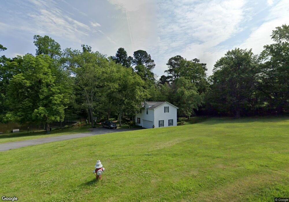
1610 Bridges Dr High Point, NC 27262
Greater High Point NeighborhoodEstimated Value: $253,000 - $308,000
About This Home
This home is located at 1610 Bridges Dr, High Point, NC 27262 and is currently estimated at $285,107, approximately $139 per square foot. 1610 Bridges Dr is a home located in Guilford County with nearby schools including Oak View Elementary School, Welborn Academy of Science & Technology, and High Point Central High School.
Ownership History
We collect this data history from publicly available records. To have your information removed, we recommend requesting removal directly through your county’s website.
Purchase Details
Purchase Details
Home Financials for this Owner
Home Financials are based on the most recent Mortgage that was taken out on this home.Purchase Details
Purchase Details
Home Values in the Area
Average Home Value in this Area
Purchase History
We collect this data history from publicly available records. To have your information removed, we recommend requesting removal directly through your county’s website.
| Date | Buyer | Sale Price | Title Company |
|---|---|---|---|
| -- | None Available | ||
| $26,500 | -- | ||
| $500 | -- | ||
| $66,000 | -- |
Mortgage History
We collect this data history from publicly available records. To have your information removed, we recommend requesting removal directly through your county’s website.
| Date | Status | Borrower | Loan Amount |
|---|---|---|---|
| Previous Owner | $103,839 |
Tax History
We collect this data history from publicly available records. To have your information removed, we recommend requesting removal directly through your county’s website.
| Year | Tax Paid | Tax Assessment Tax Assessment Total Assessment is a certain percentage of the fair market value that is determined by local assessors to be the total taxable value of land and additions on the property. | Land | Improvement |
|---|---|---|---|---|
| 2025 | $2,789 | $202,400 | $98,500 | $103,900 |
| 2024 | $2,789 | $202,400 | $98,500 | $103,900 |
| 2023 | $2,789 | $202,400 | $98,500 | $103,900 |
| 2022 | $2,728 | $202,400 | $98,500 | $103,900 |
| 2021 | $2,186 | $158,600 | $98,500 | $60,100 |
| 2020 | $2,186 | $158,600 | $98,500 | $60,100 |
| 2019 | $2,186 | $158,600 | $0 | $0 |
| 2018 | $2,175 | $158,600 | $0 | $0 |
| 2017 | $2,186 | $158,600 | $0 | $0 |
| 2016 | $1,546 | $110,200 | $0 | $0 |
| 2015 | $1,554 | $110,200 | $0 | $0 |
| 2014 | $1,580 | $110,200 | $0 | $0 |
Map
- 1915 Blain St
- 1505 Cook St
- 1704 N Hamilton St Unit E
- 1702 N Hamilton St Unit G
- 1740 N Hamilton St Unit H
- 400 Weavil St
- 1428 Futrelle Dr
- 3043 Windchase Ct
- 224 Northpoint Ave Unit E
- 430 Northbridge Dr
- 1607 Larkin St
- 1602 Larkin St
- 907 E Dayton Ave
- 411 Northbridge Dr
- 125 James Rd Unit 1B
- 160 James Rd Unit 1D
- 131 James Rd Unit 2B
- 131 James Rd Unit 3C
- 1600 Johnson St
- 934 Forrest St
- 1621 Lakewood Dr
- 1615 Lakewood Dr
- 1607 Bridges Dr
- 1625 Lakewood Dr
- 1607-1629 Bridges Dr
- 1627 Lakewood Dr
- 1616 Lakewood Dr
- 1614 Lakewood Dr
- 1831 Futrelle Dr
- 1618 Lakewood Dr
- 1612 Lakewood Dr
- 1620 Lakewood Dr
- 1815 Futrelle Dr
- 1622 Lakewood Dr
- 440 Chester Woods Ct
- 438 Chester Woods Ct
- 1610 Lakewood Dr
- 434 Chester Woods Ct
- 1629 Lakewood Dr
- 1813 Futrelle Dr
Ask me questions while you tour the home.