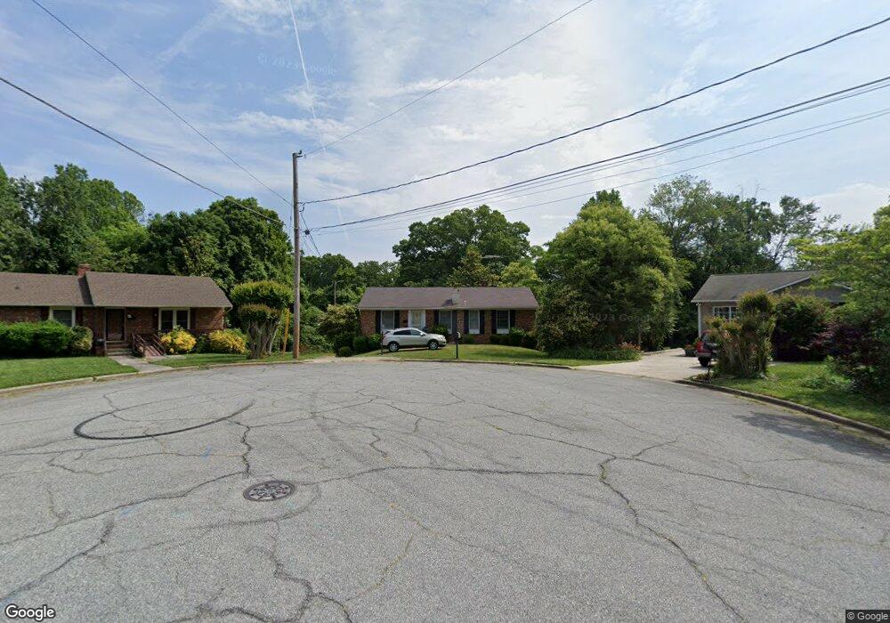
1610 Grantham Dr High Point, NC 27265
Oak View NeighborhoodEstimated Value: $192,527 - $218,000
3
Beds
2
Baths
1,274
Sq Ft
$162/Sq Ft
Est. Value
About This Home
This home is located at 1610 Grantham Dr, High Point, NC 27265 and is currently estimated at $206,382, approximately $161 per square foot. 1610 Grantham Dr is a home located in Guilford County with nearby schools including Montlieu Academy of Technology, Welborn Academy of Science & Technology, and T.W. Andrews High School.
Ownership History
Date
Name
Owned For
Owner Type
Purchase Details
Closed on
Aug 26, 2009
Sold by
Winslow Robert E and Winslow Amy M
Bought by
Crosby Jerrie L
Current Estimated Value
Home Financials for this Owner
Home Financials are based on the most recent Mortgage that was taken out on this home.
Original Mortgage
$103,098
Outstanding Balance
$67,151
Interest Rate
5.11%
Mortgage Type
FHA
Estimated Equity
$139,231
Purchase Details
Closed on
Mar 21, 2000
Sold by
Cagle Gilbert C and Cagle Barbara L
Bought by
Winslow Robert E
Home Financials for this Owner
Home Financials are based on the most recent Mortgage that was taken out on this home.
Original Mortgage
$70,800
Interest Rate
8.29%
Create a Home Valuation Report for This Property
The Home Valuation Report is an in-depth analysis detailing your home's value as well as a comparison with similar homes in the area
Home Values in the Area
Average Home Value in this Area
Purchase History
| Date | Buyer | Sale Price | Title Company |
|---|---|---|---|
| Crosby Jerrie L | $105,000 | None Available | |
| Winslow Robert E | $88,500 | -- |
Source: Public Records
Mortgage History
| Date | Status | Borrower | Loan Amount |
|---|---|---|---|
| Open | Crosby Jerrie L | $103,098 | |
| Previous Owner | Winslow Robert E | $70,800 |
Source: Public Records
Tax History
| Year | Tax Paid | Tax Assessment Tax Assessment Total Assessment is a certain percentage of the fair market value that is determined by local assessors to be the total taxable value of land and additions on the property. | Land | Improvement |
|---|---|---|---|---|
| 2025 | $806 | $117,000 | $35,000 | $82,000 |
| 2024 | $806 | $117,000 | $35,000 | $82,000 |
| 2023 | $806 | $117,000 | $35,000 | $82,000 |
| 2022 | $789 | $117,000 | $35,000 | $82,000 |
| 2021 | $659 | $95,700 | $25,000 | $70,700 |
| 2020 | $659 | $95,700 | $25,000 | $70,700 |
| 2019 | $659 | $95,700 | $0 | $0 |
| 2018 | $656 | $95,700 | $0 | $0 |
| 2017 | $659 | $95,700 | $0 | $0 |
| 2016 | $1,090 | $77,700 | $0 | $0 |
| 2015 | $1,096 | $77,700 | $0 | $0 |
| 2014 | $1,114 | $77,700 | $0 | $0 |
Source: Public Records
Map
Nearby Homes
- 1526 Ann Arbor Ct
- 1808 Guyer St
- 1818 Guyer St Unit C
- 1604 E Lexington Ave
- 2005 Carlisle Way
- 1415 Wiltshire St
- 1509 & 1511 Wiltshire St
- 1519 Mcguinn Dr
- 1717 Carolina St
- 1719 Carolina St
- 1445 Bailey Cir
- 1110 Forrest St
- 1108 Forrest St
- 1907 Boulding Ave
- 2507 Suffolk Ave
- 1120 Carolina St
- 2507 Woodruff Ave
- 613 Woodridge Ln
- 801 E Lexington Ave
- 828 Circle Dr
- 1608 Grantham Dr
- 1423 Grantham Dr
- 1611 Guyer St
- 1613 Guyer St
- 1609 Guyer St
- 1606 Grantham Dr
- 1421 Grantham Dr
- 1617 Guyer St
- 1607 Guyer St
- 1604 Grantham Dr
- 1419 Grantham Dr
- 1422 Grantham Dr
- 1730 Arden Place
- 1619 Guyer St
- 1420 Grantham Dr
- 1602 Grantham Dr
- 1417 Grantham Dr
- 1610 Guyer St
- 1635 Arden Place
- 1608 Guyer St
Your Personal Tour Guide
Ask me questions while you tour the home.