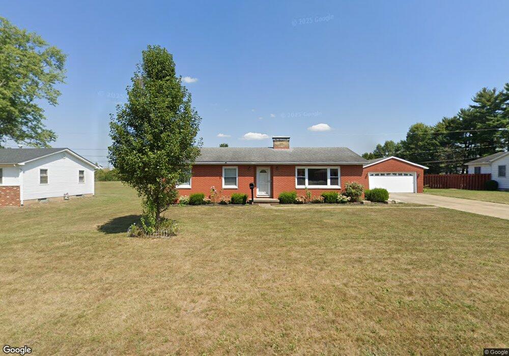
1610 W Maple St Baltimore, OH 43105
Estimated Value: $212,000
Studio
--
Bath
--
Sq Ft
21,780
Sq Ft Lot
About This Home
This home is located at 1610 W Maple St, Baltimore, OH 43105 and is currently estimated at $212,000. 1610 W Maple St is a home located in Fairfield County with nearby schools including Liberty Union Elementary School, Liberty Union Middle School, and Liberty Union High School.
Ownership History
Date
Name
Owned For
Owner Type
Purchase Details
Closed on
Jan 3, 2023
Sold by
Bader Randy L and Bader Tamara A
Bought by
Bader Rentals Llc
Current Estimated Value
Purchase Details
Closed on
Apr 26, 2011
Sold by
Roush Robb L
Bought by
Bader Randy L and Bader Tamara A
Purchase Details
Closed on
Jul 14, 2005
Sold by
Keeton Elmo and Keeton Vera Belle
Bought by
Roush Robb L
Home Financials for this Owner
Home Financials are based on the most recent Mortgage that was taken out on this home.
Original Mortgage
$140,000
Interest Rate
5.71%
Mortgage Type
Fannie Mae Freddie Mac
Create a Home Valuation Report for This Property
The Home Valuation Report is an in-depth analysis detailing your home's value as well as a comparison with similar homes in the area
Home Values in the Area
Average Home Value in this Area
Purchase History
| Date | Buyer | Sale Price | Title Company |
|---|---|---|---|
| Bader Rentals Llc | -- | -- | |
| Bader Randy L | $117,000 | Attorney | |
| Roush Robb L | $175,000 | Chicago Title |
Source: Public Records
Mortgage History
| Date | Status | Borrower | Loan Amount |
|---|---|---|---|
| Previous Owner | Roush Robb L | $140,000 | |
| Closed | Roush Robb L | $35,000 |
Source: Public Records
Tax History
| Year | Tax Paid | Tax Assessment Tax Assessment Total Assessment is a certain percentage of the fair market value that is determined by local assessors to be the total taxable value of land and additions on the property. | Land | Improvement |
|---|---|---|---|---|
| 2025 | $422 | $10,590 | $3,680 | $6,910 |
| 2024 | $422 | $5,620 | $1,930 | $3,690 |
| 2023 | $221 | $5,620 | $1,930 | $3,690 |
| 2022 | $219 | $5,620 | $1,930 | $3,690 |
| 2021 | $234 | $5,440 | $1,750 | $3,690 |
| 2020 | $239 | $5,440 | $1,750 | $3,690 |
| 2019 | $243 | $5,440 | $1,750 | $3,690 |
| 2018 | $217 | $4,760 | $1,540 | $3,220 |
| 2017 | $218 | $4,450 | $1,540 | $2,910 |
| 2016 | $215 | $4,450 | $1,540 | $2,910 |
| 2015 | $206 | $4,450 | $1,540 | $2,910 |
| 2014 | $198 | $4,450 | $1,540 | $2,910 |
| 2013 | $198 | $4,450 | $1,540 | $2,910 |
Source: Public Records
Map
Nearby Homes
- 201 N Liberty St
- 116 S High St
- 0 Basil Rd NW Unit 226003110
- 727 W Washington St
- 7836 Basil Rd NW
- 1455 Giesy Rd NW
- 403 S Walnut St
- 407 S Main St
- 601 S Main St
- 113 S Park Dr
- Lot 18A S Creekview Ct
- 201 E Dorchester Dr
- 0 Cherry Ln Unit 226008720
- 2200 Leonard Rd NW
- 220 N Wagner Ave
- 1813 Bickel Church Rd NW
- 445 Baltimore Somerset Rd NE
- 570 Baltimore Somerset Rd NE Unit Lot 1
- 5870 Brook Rd NW
- 1577 Winding Oak Dr NW
- 1610 W Maple St
- 1608 W Maple St
- 1613 W Maple St
- 1604 W Maple St
- 1609 W Maple St
- 1615 W Maple St
- 1800 W Market St
- 1605 W Maple St
- 325 N Company St
- 1600 W Maple St
- 327 N Company St
- 1760 W Market St
- 329 N Company St
- 1601 W Maple St
- 331 N Company St
- 1795 W Market St
- 219 N Company St
- 1791 W Market St
- 1799 W Market St
- 1785 W Market St
Your Personal Tour Guide
Ask me questions while you tour the home.