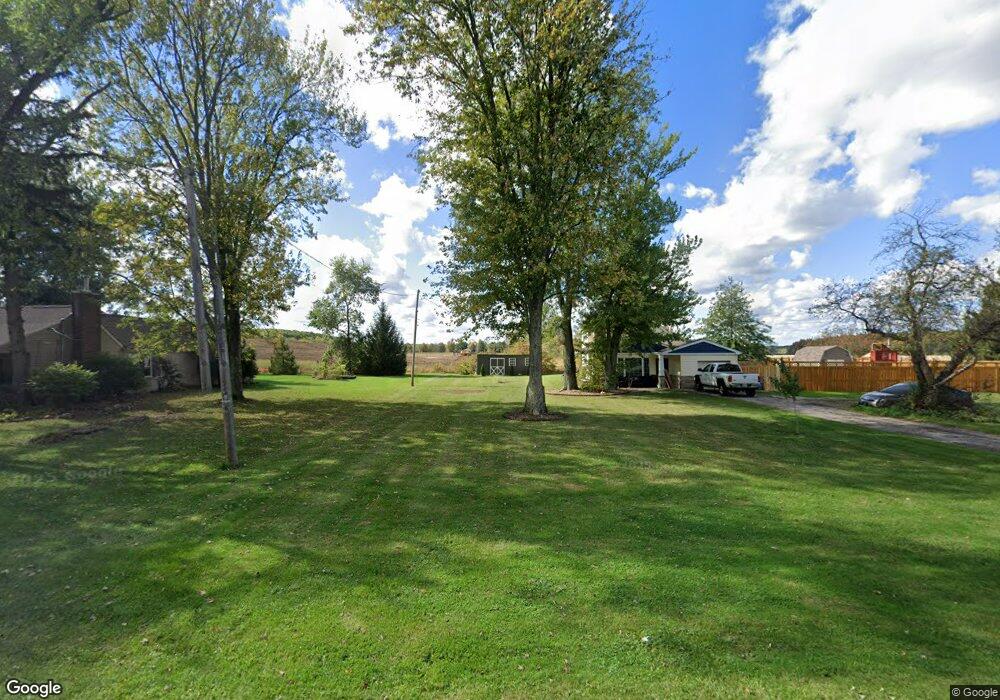
16108 State Route 301 Lagrange, OH 44050
LaGrange AreaEstimated Value: $221,039 - $267,000
About This Home
This home is located at 16108 State Route 301, Lagrange, OH 44050 and is currently estimated at $243,510, approximately $155 per square foot. 16108 State Route 301 is a home located in Lorain County with nearby schools including Keystone Elementary School, Keystone Middle School, and Keystone High School.
Ownership History
We collect this data history from publicly available records. To have your information removed, we recommend requesting removal directly through your county’s website.
Purchase Details
Home Financials for this Owner
Home Financials are based on the most recent Mortgage that was taken out on this home.Purchase Details
Home Financials for this Owner
Home Financials are based on the most recent Mortgage that was taken out on this home.Home Values in the Area
Average Home Value in this Area
Purchase History
We collect this data history from publicly available records. To have your information removed, we recommend requesting removal directly through your county’s website.
| Date | Buyer | Sale Price | Title Company |
|---|---|---|---|
| $91,000 | Lorain County Title Co Inc | ||
| -- | -- |
Mortgage History
We collect this data history from publicly available records. To have your information removed, we recommend requesting removal directly through your county’s website.
| Date | Status | Borrower | Loan Amount |
|---|---|---|---|
| Closed | $28,000 | ||
| Closed | $86,000 | ||
| Closed | $10,500 |
Tax History
We collect this data history from publicly available records. To have your information removed, we recommend requesting removal directly through your county’s website.
| Year | Tax Paid | Tax Assessment Tax Assessment Total Assessment is a certain percentage of the fair market value that is determined by local assessors to be the total taxable value of land and additions on the property. | Land | Improvement |
|---|---|---|---|---|
| 2024 | $2,782 | $66,203 | $11,466 | $54,737 |
| 2023 | $2,216 | $43,974 | $10,584 | $33,390 |
| 2022 | $2,200 | $43,974 | $10,584 | $33,390 |
| 2021 | $2,199 | $43,974 | $10,584 | $33,390 |
| 2020 | $1,908 | $34,650 | $8,340 | $26,310 |
| 2019 | $1,896 | $34,650 | $8,340 | $26,310 |
| 2018 | $1,704 | $34,650 | $8,340 | $26,310 |
| 2017 | $1,558 | $27,260 | $6,540 | $20,720 |
| 2016 | $1,546 | $27,260 | $6,540 | $20,720 |
| 2015 | $1,543 | $27,260 | $6,540 | $20,720 |
| 2014 | $1,264 | $25,720 | $6,170 | $19,550 |
| 2013 | $1,225 | $25,720 | $6,170 | $19,550 |
Map
- 16246 State Route 301
- 202 General Lee St
- 548 Appomattox Ct
- 187 Loperwood Ln
- 548 William St
- 119 Harmon Ct
- 808 Buckingham Dr
- 800 Buckingham Dr
- 509 William St
- 604 Rundle St
- 315 West St
- 150 Railroad St
- 15494 Wheeler Rd
- 15191 Whitehead Rd
- 14838 State Route 301
- 385 S Center St
- 0 Whitehead Rd
- 14446 State Route 301
- 39591 State Route 303
- 16741 Indian Hollow Rd
- 16132 State Route 301
- 16156 State Route 301
- 738 N Center St
- 728 N Center St
- 746 N Center St
- 720 N Center St
- 756 N Center St
- 16206 State Route 301
- 19070 Lagrange Rd
- 15957 State Route 301
- 708 N Center St
- 801 N Center St
- 345 Granger Dr
- 40897 Biggs Rd
- 16292 State Route 301
- 15917 State Route 301
- 0 Biggs Rd
- 0 Lagrange Rd
- 40849 Biggs Rd
- 43 Us Grant St
Ask me questions while you tour the home.