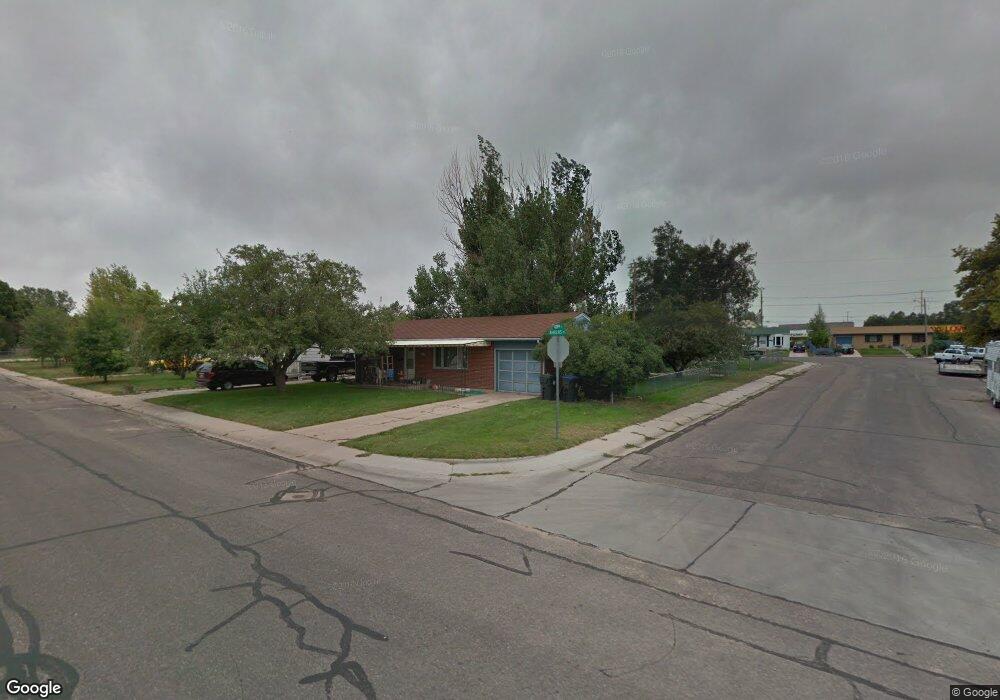
1611 W Gopp Ct Cheyenne, WY 82007
Estimated Value: $293,000 - $317,000
Studio
--
Bath
1,200
Sq Ft
$251/Sq Ft
Est. Value
About This Home
This home is located at 1611 W Gopp Ct, Cheyenne, WY 82007 and is currently estimated at $301,140, approximately $250 per square foot. 1611 W Gopp Ct is a home located in Laramie County with nearby schools including Goins Elementary School, Johnson Junior High School, and South High School.
Ownership History
Date
Name
Owned For
Owner Type
Purchase Details
Closed on
Oct 27, 2021
Sold by
Fierro Lydia
Bought by
Tilton Glenn E and Tilton Sylvia E
Current Estimated Value
Home Financials for this Owner
Home Financials are based on the most recent Mortgage that was taken out on this home.
Original Mortgage
$12,000
Outstanding Balance
$7,695
Interest Rate
2.8%
Mortgage Type
Commercial
Estimated Equity
$293,445
Create a Home Valuation Report for This Property
The Home Valuation Report is an in-depth analysis detailing your home's value as well as a comparison with similar homes in the area
Purchase History
| Date | Buyer | Sale Price | Title Company |
|---|---|---|---|
| Tilton Glenn E | -- | First American Title |
Source: Public Records
Mortgage History
| Date | Status | Borrower | Loan Amount |
|---|---|---|---|
| Open | Tilton Glenn E | $12,000 |
Source: Public Records
Tax History
| Year | Tax Paid | Tax Assessment Tax Assessment Total Assessment is a certain percentage of the fair market value that is determined by local assessors to be the total taxable value of land and additions on the property. | Land | Improvement |
|---|---|---|---|---|
| 2025 | $2,048 | $21,334 | $2,502 | $18,832 |
| 2024 | $2,048 | $28,961 | $3,336 | $25,625 |
| 2023 | $1,978 | $27,978 | $3,336 | $24,642 |
| 2022 | $1,807 | $25,033 | $3,336 | $21,697 |
| 2021 | $1,539 | $21,272 | $3,336 | $17,936 |
| 2020 | $1,438 | $19,931 | $3,336 | $16,595 |
| 2019 | $1,417 | $19,624 | $3,336 | $16,288 |
| 2018 | $1,196 | $16,725 | $2,500 | $14,225 |
| 2017 | $1,148 | $15,912 | $2,500 | $13,412 |
| 2016 | $1,079 | $14,941 | $2,438 | $12,503 |
| 2015 | $1,054 | $14,598 | $2,438 | $12,160 |
| 2014 | $1,039 | $14,290 | $2,438 | $11,852 |
Source: Public Records
Map
Nearby Homes
- 147 Ahrens Ave
- 1409 W Jefferson Rd
- TBD Wyott Dr
- 1275 W Jefferson Rd
- 216 Cribbon Ave
- 1200 W Jefferson Rd
- 1530 Jazz Dr
- 208 Dillon Ave
- 228 Patton Ave
- 1632 Carol Ann Way
- 315 Cribbon Ave
- 229 Abby Rd
- 1727 Kade Ct
- 1729 Kade Ct
- 333 Patton Ave
- 1735 Kade Ct
- 313 Hunters Way
- 1737 Kade Ct
- 317 Hunters Way
- 1533 Elsie Jean Trail
Your Personal Tour Guide
Ask me questions while you tour the home.