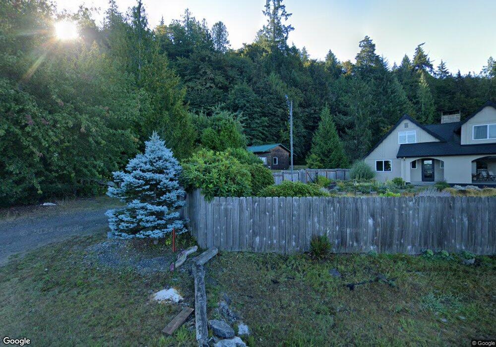
16112 E State Route 106 Belfair, WA 98528
Estimated Value: $585,000 - $709,000
1
Bed
1
Bath
600
Sq Ft
$1,047/Sq Ft
Est. Value
About This Home
This home is located at 16112 E State Route 106, Belfair, WA 98528 and is currently estimated at $628,463, approximately $1,047 per square foot. 16112 E State Route 106 is a home located in Mason County with nearby schools including North Mason Senior High School.
Ownership History
Date
Name
Owned For
Owner Type
Purchase Details
Closed on
Aug 28, 2024
Sold by
Howell Timothy D
Bought by
Hanford Jessica and Mora Roger Alberto
Current Estimated Value
Purchase Details
Closed on
Jul 25, 2022
Sold by
Kelly Howell
Bought by
Howell Timothy D
Home Financials for this Owner
Home Financials are based on the most recent Mortgage that was taken out on this home.
Original Mortgage
$453,000
Interest Rate
5.81%
Mortgage Type
VA
Purchase Details
Closed on
Sep 18, 2019
Sold by
Forester Patrick A
Bought by
Howell Timothy D and Howell Kelly M
Home Financials for this Owner
Home Financials are based on the most recent Mortgage that was taken out on this home.
Original Mortgage
$406,400
Interest Rate
3.6%
Mortgage Type
VA
Purchase Details
Closed on
Jul 29, 2005
Sold by
Wilhelmi Dudley R
Bought by
Forster Patrick A
Home Financials for this Owner
Home Financials are based on the most recent Mortgage that was taken out on this home.
Original Mortgage
$230,450
Interest Rate
5.48%
Mortgage Type
Construction
Create a Home Valuation Report for This Property
The Home Valuation Report is an in-depth analysis detailing your home's value as well as a comparison with similar homes in the area
Purchase History
| Date | Buyer | Sale Price | Title Company |
|---|---|---|---|
| Hanford Jessica | $667,222 | Aegis Land Title | |
| Howell Timothy D | -- | First American Title | |
| Howell Timothy D | $406,119 | Land Title Co | |
| Forster Patrick A | $140,280 | Land Title Co |
Source: Public Records
Mortgage History
| Date | Status | Borrower | Loan Amount |
|---|---|---|---|
| Previous Owner | Howell Timothy D | $453,000 | |
| Previous Owner | Howell Timothy D | $406,400 | |
| Previous Owner | Forster Patrick A | $230,450 |
Source: Public Records
Tax History
| Year | Tax Paid | Tax Assessment Tax Assessment Total Assessment is a certain percentage of the fair market value that is determined by local assessors to be the total taxable value of land and additions on the property. | Land | Improvement |
|---|---|---|---|---|
| 2025 | $3,001 | $432,015 | $195,445 | $236,570 |
| 2023 | $3,001 | $373,975 | $167,260 | $206,715 |
| 2022 | $3,857 | $419,520 | $147,495 | $272,025 |
| 2021 | $3,049 | $419,520 | $147,495 | $272,025 |
| 2020 | $3,844 | $338,535 | $156,720 | $181,815 |
| 2018 | $3,809 | $326,260 | $208,960 | $117,300 |
| 2017 | $3,491 | $326,130 | $208,830 | $117,300 |
| 2016 | $3,363 | $305,525 | $198,890 | $106,635 |
| 2015 | $3,449 | $296,755 | $191,405 | $105,350 |
| 2014 | -- | $299,985 | $200,010 | $99,975 |
| 2013 | -- | $290,305 | $193,555 | $96,750 |
Source: Public Records
Map
Nearby Homes
- 0 E Greenberg Ln
- 70 E Windy Ridge Ln
- 16901 E State Route 106
- 1552 Lts 1&2 E Trails End (& Rasor) Dr
- 500 E Morris Creek Dr
- 1 Parcel E Johnson Ridge Dr
- 7 Parcel E Johnson Ridge Dr
- 1180 E Trails End Dr
- 1961 E Trails End Dr
- 14870 E State Route 106
- 11 Track Rimstone Loop
- 10 Track Rimstone Loop
- 9 Track Rimstone Loop
- 5031 E Rasor Rd W
- 6 Track Rimstone Loop
- 3 Track Rimstone Loop
- 2 Track Rimstone Loop
- 1 Lot Rasor (& E Trails End) Rd
- 7 Track Rimstone Loop
- 550 E Trails End Dr
- 16090 E State Route 106
- 16110 E State Route 106
- 16070 E State Route 106
- 16072 E State Route 106
- 16181 E State Route 106
- 16191 E State Route 106
- 21 E Trails Rd
- 113 E Trails End Rd
- 16211 E State Route 106
- 113 E Trails Rd
- 23 E Trails Rd
- 0 E Trails Rd Unit 1349505
- 0 E Trails Rd Unit 1100534
- 0 E Trails Rd Unit 29169621
- 0 E Trails Rd Unit 29029579
- 0 E Trails Rd Unit NWM20028755
- 0 E Trails Rd Unit 1789573
- 16231 E State Route 106
- 111 E Trails Rd
Your Personal Tour Guide
Ask me questions while you tour the home.