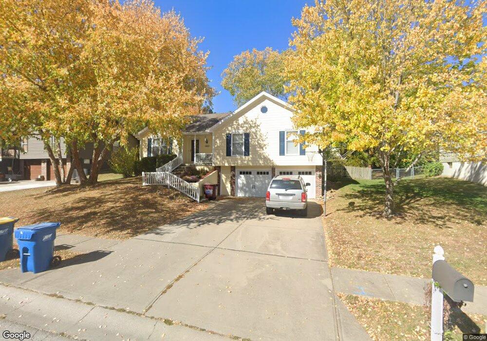
1612 Dunwich Dr Liberty, MO 64068
Estimated Value: $312,000 - $375,000
About This Home
This home is located at 1612 Dunwich Dr, Liberty, MO 64068 and is currently estimated at $345,225, approximately $250 per square foot. 1612 Dunwich Dr is a home located in Clay County with nearby schools including Alexander Doniphan Elementary School, Liberty Middle School, and Liberty High School.
Ownership History
We collect this data history from publicly available records. To have your information removed, we recommend requesting removal directly through your county’s website.
Purchase Details
Purchase Details
Purchase Details
Home Financials for this Owner
Home Financials are based on the most recent Mortgage that was taken out on this home.Home Values in the Area
Average Home Value in this Area
Purchase History
We collect this data history from publicly available records. To have your information removed, we recommend requesting removal directly through your county’s website.
| Date | Buyer | Sale Price | Title Company |
|---|---|---|---|
| -- | Chicago | ||
| -- | -- | ||
| -- | United Title Company |
Mortgage History
We collect this data history from publicly available records. To have your information removed, we recommend requesting removal directly through your county’s website.
| Date | Status | Borrower | Loan Amount |
|---|---|---|---|
| Previous Owner | $127,300 |
Tax History
We collect this data history from publicly available records. To have your information removed, we recommend requesting removal directly through your county’s website.
| Year | Tax Paid | Tax Assessment Tax Assessment Total Assessment is a certain percentage of the fair market value that is determined by local assessors to be the total taxable value of land and additions on the property. | Land | Improvement |
|---|---|---|---|---|
| 2025 | $3,890 | $54,130 | -- | -- |
| 2024 | $3,621 | $47,080 | -- | -- |
| 2023 | $3,682 | $47,080 | $0 | $0 |
| 2022 | $3,135 | $39,580 | $0 | $0 |
| 2021 | $3,111 | $39,577 | $6,650 | $32,927 |
| 2020 | $2,760 | $32,970 | $0 | $0 |
| 2019 | $2,759 | $32,970 | $0 | $0 |
| 2018 | $2,438 | $28,600 | $0 | $0 |
| 2017 | $2,415 | $28,590 | $4,750 | $23,840 |
| 2016 | $2,415 | $28,590 | $4,750 | $23,840 |
| 2015 | $2,415 | $28,590 | $4,750 | $23,840 |
| 2014 | $2,309 | $27,130 | $4,370 | $22,760 |
Map
- 1605 High Dr
- 1617 Welleslay Ln
- 1310 Amesbury Ave
- 1500 Amesbury Ave
- 1327 Huntington Dr
- 1437 Coventry Ln
- 1561 Parkside Dr
- 441 Wilshire Blvd
- 1229 Westboro Cir
- 1233 Old Manor Rd
- 1509 Wynbrick Dr
- 1830 Parkside Dr
- 1913 CeMcO Dr
- 809 Lindenwood Ln
- 1836 Green Meadow Dr
- 1308 Middlebrook Dr
- 1505 Ashton Dr
- 1820 Homestead Dr
- 1824 Homestead Dr
- 908 Glendale Rd
- 1605 Tudor Ln
- 1609 Tudor Ln
- 1601 Tudor Ln
- 1604 Dunwich Dr
- 1330 Canterbury Ln
- 1613 Tudor Ln
- 1608 Dunwich Dr
- 1604 Tudor Ln
- 1608 Tudor Ln
- 1600 Tudor Ln
- 1617 Tudor Ln
- 1612 Tudor Ln
- 1616 Tudor Ln
- 1325 Canterbury Ln
- 1331 Canterbury Ln
- 1616 Dunwich Dr
- 1619 Tudor Ln
- 1319 Canterbury Ln
- 1337 Canterbury Ln
- 1605 Windsor Ln
Ask me questions while you tour the home.