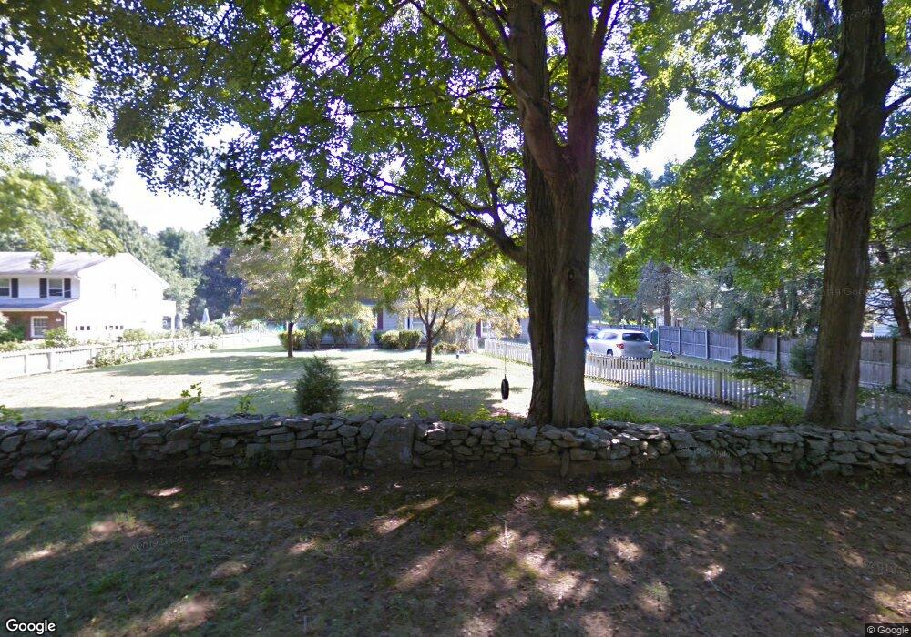
162 Dunk Rock Rd Guilford, CT 06437
Estimated Value: $608,168 - $774,000
3
Beds
2
Baths
2,216
Sq Ft
$326/Sq Ft
Est. Value
About This Home
This home is located at 162 Dunk Rock Rd, Guilford, CT 06437 and is currently estimated at $723,292, approximately $326 per square foot. 162 Dunk Rock Rd is a home located in New Haven County with nearby schools including E.C. Adams Middle School, A. Baldwin Middle School, and Guilford High School.
Ownership History
Date
Name
Owned For
Owner Type
Purchase Details
Closed on
Sep 10, 2001
Sold by
Crum Robert E and Crum Roberta M
Bought by
Ledwith William G and Ledwith Gina M
Current Estimated Value
Create a Home Valuation Report for This Property
The Home Valuation Report is an in-depth analysis detailing your home's value as well as a comparison with similar homes in the area
Home Values in the Area
Average Home Value in this Area
Purchase History
| Date | Buyer | Sale Price | Title Company |
|---|---|---|---|
| Ledwith William G | $320,000 | -- |
Source: Public Records
Mortgage History
| Date | Status | Borrower | Loan Amount |
|---|---|---|---|
| Closed | Ledwith William G | $200,375 | |
| Closed | Ledwith William G | $252,400 |
Source: Public Records
Tax History
| Year | Tax Paid | Tax Assessment Tax Assessment Total Assessment is a certain percentage of the fair market value that is determined by local assessors to be the total taxable value of land and additions on the property. | Land | Improvement |
|---|---|---|---|---|
| 2025 | $8,452 | $305,690 | $155,400 | $150,290 |
| 2024 | $8,125 | $305,690 | $155,400 | $150,290 |
| 2023 | $7,911 | $305,690 | $155,400 | $150,290 |
| 2022 | $7,897 | $237,500 | $122,910 | $114,590 |
| 2021 | $7,747 | $237,500 | $122,910 | $114,590 |
| 2020 | $7,674 | $237,500 | $122,910 | $114,590 |
| 2019 | $7,607 | $237,500 | $122,910 | $114,590 |
| 2018 | $7,429 | $237,500 | $122,910 | $114,590 |
| 2017 | $7,573 | $257,930 | $129,410 | $128,520 |
| 2016 | $7,395 | $257,930 | $129,410 | $128,520 |
| 2015 | $7,284 | $257,930 | $129,410 | $128,520 |
| 2014 | $7,072 | $257,930 | $129,410 | $128,520 |
Source: Public Records
Map
Nearby Homes
- 51 Mill Rd
- 7 River Colony Unit 7
- 95 Fair St
- 223 Water St
- 294 Church St
- 401 Three Corners Rd
- 63 Broad St
- 82 State St
- 16 Copper Hill Dr
- 4 Copper Ridge Cir
- 26 Water St
- 28 Village Cir Unit 28
- 14 Village Cir Unit 14
- 16 Village Cir Unit 16
- 24 Village Cir Unit 24
- 106 Sconset Ln
- 66 High St Unit 38
- 66 High St Unit 34
- 174 Whitfield St
- 33 Village Walk Unit 33
- 176 Dunk Rock Rd
- 152 Dunk Rock Rd
- 140 Dunk Rock Rd
- 130 Dunk Rock Rd
- 116 Dunk Rock Rd
- 139 Dunk Rock Rd
- 122 Dunk Rock Rd
- 161 Dunk Rock Rd
- 129 Dunk Rock Rd
- 195 Dunk Rock Rd
- 112 Dunk Rock Rd
- 106 Dunk Rock Rd
- 213 Dunk Rock Rd
- 109 Dunk Rock Rd
- 8 Cobblefield Ln
- 8 Cobblefield Ln Unit MONTH OF JUNE
- 8 Cobblefield Ln Unit MONTH OF JULY
- 8 Cobblefield Ln Unit MONTH OF AUGUST
- 90 Dunk Rock Rd
- 185 Dunk Rock Rd
Your Personal Tour Guide
Ask me questions while you tour the home.