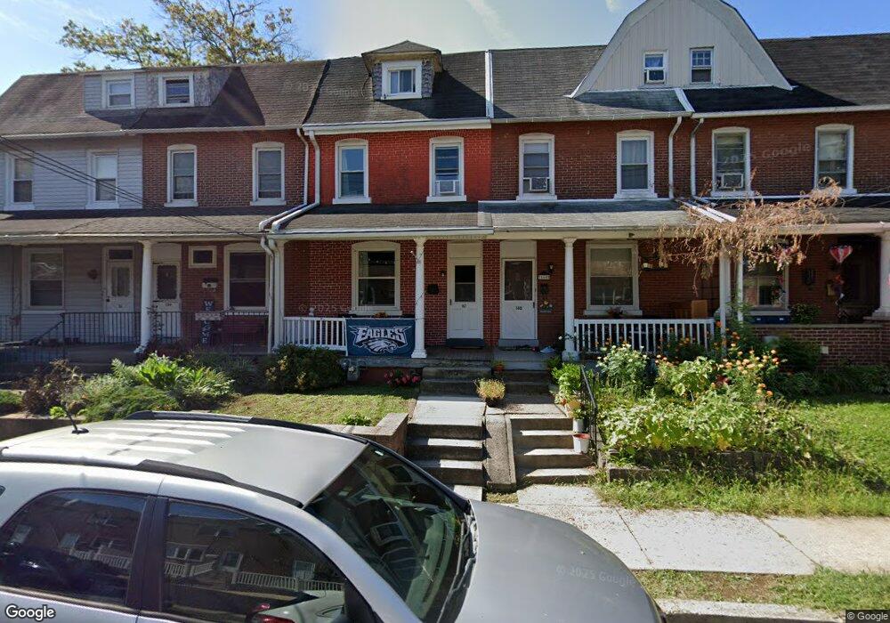
162 E 2nd St Lansdale, PA 19446
Estimated Value: $232,000 - $347,000
4
Beds
1
Bath
1,497
Sq Ft
$195/Sq Ft
Est. Value
About This Home
This home is located at 162 E 2nd St, Lansdale, PA 19446 and is currently estimated at $291,316, approximately $194 per square foot. 162 E 2nd St is a home located in Montgomery County with nearby schools including Knapp Elementary School, Penndale Middle School, and North Penn Senior High School.
Ownership History
Date
Name
Owned For
Owner Type
Purchase Details
Closed on
Mar 23, 2021
Sold by
Stewart Margaret E
Bought by
Perry Charles
Current Estimated Value
Home Financials for this Owner
Home Financials are based on the most recent Mortgage that was taken out on this home.
Original Mortgage
$136,000
Outstanding Balance
$122,324
Interest Rate
2.9%
Mortgage Type
New Conventional
Estimated Equity
$168,992
Purchase Details
Closed on
Feb 6, 2017
Sold by
Mcgruder Margaret and Stewart Margaret
Bought by
Stewart Margaret E
Purchase Details
Closed on
Apr 24, 1998
Sold by
Mengel Daryl M and Mengel Susan F
Bought by
Mcgruder Margaret
Create a Home Valuation Report for This Property
The Home Valuation Report is an in-depth analysis detailing your home's value as well as a comparison with similar homes in the area
Home Values in the Area
Average Home Value in this Area
Purchase History
| Date | Buyer | Sale Price | Title Company |
|---|---|---|---|
| Perry Charles | $170,000 | None Available | |
| Stewart Margaret E | -- | None Available | |
| Mcgruder Margaret | $87,500 | -- |
Source: Public Records
Mortgage History
| Date | Status | Borrower | Loan Amount |
|---|---|---|---|
| Open | Perry Charles | $136,000 |
Source: Public Records
Tax History
| Year | Tax Paid | Tax Assessment Tax Assessment Total Assessment is a certain percentage of the fair market value that is determined by local assessors to be the total taxable value of land and additions on the property. | Land | Improvement |
|---|---|---|---|---|
| 2025 | $3,942 | $93,710 | $39,990 | $53,720 |
| 2024 | $3,942 | $93,710 | $39,990 | $53,720 |
| 2023 | $3,688 | $93,710 | $39,990 | $53,720 |
| 2022 | $3,570 | $93,710 | $39,990 | $53,720 |
| 2021 | $3,425 | $93,710 | $39,990 | $53,720 |
| 2020 | $3,322 | $93,710 | $39,990 | $53,720 |
| 2019 | $3,267 | $93,710 | $39,990 | $53,720 |
Source: Public Records
Map
Nearby Homes
- 235 E 2nd St
- 174 E Main St
- 3 N Line St
- 107 E 3rd St Unit 20
- 137 Penn St
- 135 Penn St
- 415 Williamson Ct
- 515 N Broad St
- 102 Almond Dr
- 21 Susquehanna Ave
- 118 Elm Dr
- 380 E Hancock St Unit 100A
- 380 E Hancock St Unit 104A
- 380 E Hancock St Unit 103A
- 380 E Hancock St Unit 101A
- 380 E Hancock St Unit 103B
- 380 E Hancock St Unit 102B
- 380 E Hancock St Unit 101B
- 380 E Hancock St Unit 100B
- 380 E Hancock St Unit 102A
Your Personal Tour Guide
Ask me questions while you tour the home.