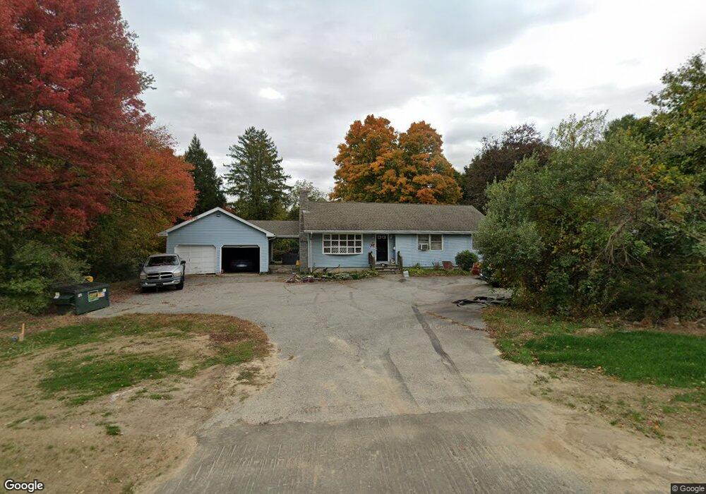
162 Preston Rd Griswold, CT 06351
Estimated Value: $412,076
4
Beds
2
Baths
1,400
Sq Ft
$294/Sq Ft
Est. Value
About This Home
This home is located at 162 Preston Rd, Griswold, CT 06351 and is currently estimated at $412,076, approximately $294 per square foot. 162 Preston Rd is a home located in New London County with nearby schools including Griswold Elementary School, Griswold Middle School, and Griswold High School.
Ownership History
Date
Name
Owned For
Owner Type
Purchase Details
Closed on
May 14, 2010
Sold by
Griswold Holdings Llc
Bought by
162 Preston T
Current Estimated Value
Purchase Details
Closed on
Aug 30, 2004
Sold by
Giard Thomas and Ellen Mary
Bought by
Capital Prop Inv Llc
Home Financials for this Owner
Home Financials are based on the most recent Mortgage that was taken out on this home.
Original Mortgage
$200,000
Interest Rate
6.02%
Mortgage Type
Commercial
Create a Home Valuation Report for This Property
The Home Valuation Report is an in-depth analysis detailing your home's value as well as a comparison with similar homes in the area
Home Values in the Area
Average Home Value in this Area
Purchase History
| Date | Buyer | Sale Price | Title Company |
|---|---|---|---|
| 162 Preston T | -- | -- | |
| Capital Prop Inv Llc | $225,000 | -- |
Source: Public Records
Mortgage History
| Date | Status | Borrower | Loan Amount |
|---|---|---|---|
| Previous Owner | Capital Prop Inv Llc | $212,000 | |
| Previous Owner | Capital Prop Inv Llc | $200,000 |
Source: Public Records
Tax History
| Year | Tax Paid | Tax Assessment Tax Assessment Total Assessment is a certain percentage of the fair market value that is determined by local assessors to be the total taxable value of land and additions on the property. | Land | Improvement |
|---|---|---|---|---|
| 2025 | $4,214 | $155,050 | $57,470 | $97,580 |
| 2024 | $4,115 | $155,050 | $57,470 | $97,580 |
| 2023 | $3,887 | $155,050 | $57,470 | $97,580 |
| 2022 | $3,887 | $155,050 | $57,470 | $97,580 |
| 2021 | $3,432 | $118,580 | $47,740 | $70,840 |
| 2020 | $3,451 | $118,580 | $47,740 | $70,840 |
| 2019 | $3,391 | $118,580 | $47,740 | $70,840 |
| 2018 | $3,311 | $118,580 | $47,740 | $70,840 |
| 2017 | $3,274 | $118,580 | $47,740 | $70,840 |
| 2016 | $3,305 | $122,150 | $46,830 | $75,320 |
| 2015 | $3,246 | $122,150 | $46,830 | $75,320 |
| 2014 | $3,186 | $122,150 | $46,830 | $75,320 |
Source: Public Records
Map
Nearby Homes
- 300 Slater Avenue & 175 Pleasant View Dr
- 576 Voluntown Rd
- 501 Taylor Hill Rd
- 91 Slater Ave
- 23 Victoria St
- 41 S Main St Unit 51
- 41 S Main St Unit 50
- 41 S Main St Unit 53
- 23 Soule St
- 61 S Main St Unit 202
- 83-85 Mathewson St
- 375 Old Jewett City Rd
- 36 Blueberry Ln
- 163 Pachaug River Dr
- 20 Mckenna Ave
- 603 Hopeville Rd
- 317 Old Jewett City Rd
- 28 Lily Pond Rd
- 24 Newent Rd
- 117 Bitgood Rd
Your Personal Tour Guide
Ask me questions while you tour the home.