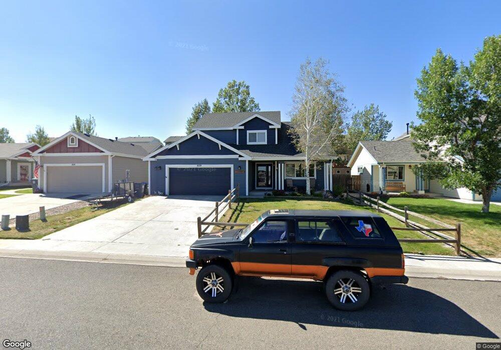
1620 Maroon Dr Cheyenne, WY 82001
Estimated Value: $429,742 - $468,000
About This Home
This home is located at 1620 Maroon Dr, Cheyenne, WY 82001 and is currently estimated at $457,436, approximately $264 per square foot. 1620 Maroon Dr is a home located in Laramie County with nearby schools including Sunrise Elementary School, Johnson Junior High School, and South High School.
Ownership History
We collect this data history from publicly available records. To have your information removed, we recommend requesting removal directly through your county’s website.
Purchase Details
Purchase Details
Home Financials for this Owner
Home Financials are based on the most recent Mortgage that was taken out on this home.Purchase Details
Home Financials for this Owner
Home Financials are based on the most recent Mortgage that was taken out on this home.Purchase History
We collect this data history from publicly available records. To have your information removed, we recommend requesting removal directly through your county’s website.
| Date | Buyer | Sale Price | Title Company |
|---|---|---|---|
| -- | None Listed On Document | ||
| -- | None Available | ||
| -- | -- |
Mortgage History
We collect this data history from publicly available records. To have your information removed, we recommend requesting removal directly through your county’s website.
| Date | Status | Borrower | Loan Amount |
|---|---|---|---|
| Previous Owner | $249,900 | ||
| Previous Owner | $187,465 |
Tax History
We collect this data history from publicly available records. To have your information removed, we recommend requesting removal directly through your county’s website.
| Year | Tax Paid | Tax Assessment Tax Assessment Total Assessment is a certain percentage of the fair market value that is determined by local assessors to be the total taxable value of land and additions on the property. | Land | Improvement |
|---|---|---|---|---|
| 2025 | $1,566 | $28,205 | $4,058 | $24,147 |
| 2024 | $2,370 | $36,513 | $5,411 | $31,102 |
| 2023 | $2,371 | $36,527 | $5,411 | $31,116 |
| 2022 | $2,273 | $34,487 | $5,411 | $29,076 |
| 2021 | $1,890 | $29,129 | $5,411 | $23,718 |
| 2020 | $1,783 | $27,718 | $5,411 | $22,307 |
| 2019 | $1,622 | $25,472 | $5,411 | $20,061 |
| 2018 | $1,553 | $24,714 | $5,377 | $19,337 |
| 2017 | $1,491 | $23,657 | $4,089 | $19,568 |
| 2016 | $1,428 | $22,775 | $4,083 | $18,692 |
| 2015 | $1,349 | $21,680 | $4,083 | $17,597 |
| 2014 | $1,344 | $21,496 | $4,083 | $17,413 |
Map
- 1513 Sunny Hill Dr
- 1501 Sunny Hill Dr
- 1509 Summerset Dr
- 1617 Copperville Rd
- 1813 Copperville Rd
- 4909 E 14th St
- 1231 Taft Ave
- TBD Taft Ave
- 1217 Taft Ave
- 5709 Kennedy Dr
- 100 Tampa Ct
- 2203 Silverton Dr
- 1216 Taft Ave
- 1218 Phipps Ave
- 1921 Appaloosa Dr
- 1018 Taft Ave
- 4709 Spur Dr
- 4502 E 16th St
- 5921 Atlantic Dr
- 5200 Kennedy Dr
- 1615 Maroon Dr
- 1603 Maroon Dr
- 1702 Gettysburg Dr
- 1708 Gettysburg Dr
- 1714 Gettysburg Dr
- 1627 Maroon Dr
- 1608 Maroon Dr
- 1614 Maroon Dr
- 1602 Maroon Dr
- 5509 Continental Place
- 5515 Continental Place
- 1705 Maroon Dr
- 1626 Maroon Dr
- 5503 Continental Place
- 5521 Continental Place
- 1726 Gettysburg Dr
- 5419 Continental Place
- 1702 Maroon Dr
- 1711 Maroon Dr
- 1703 Gettysburg Dr
Ask me questions while you tour the home.