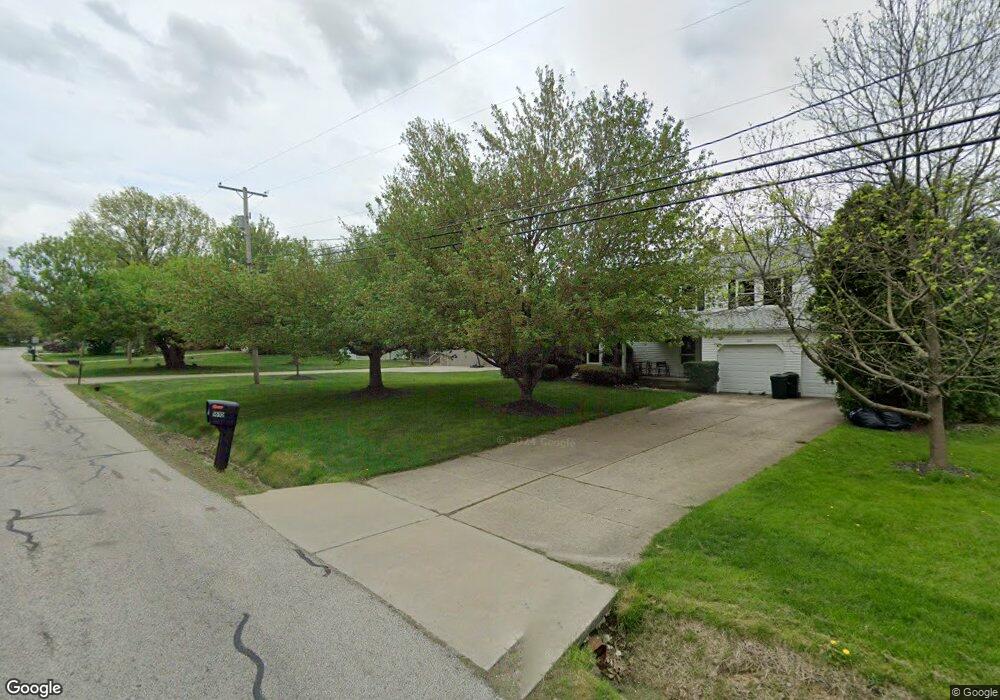
1622 Barlow Rd Hudson, OH 44236
Estimated Value: $377,000 - $399,000
3
Beds
3
Baths
1,176
Sq Ft
$329/Sq Ft
Est. Value
About This Home
This home is located at 1622 Barlow Rd, Hudson, OH 44236 and is currently estimated at $387,147, approximately $329 per square foot. 1622 Barlow Rd is a home located in Summit County with nearby schools including Ellsworth Hill Elementary School, East Woods Intermediate School, and Hudson Middle School.
Ownership History
Date
Name
Owned For
Owner Type
Purchase Details
Closed on
Jan 7, 2000
Sold by
Schodowsky Delores and Schodowsky Thomas
Bought by
Mccracken Laura A and Toth Kevin M
Current Estimated Value
Home Financials for this Owner
Home Financials are based on the most recent Mortgage that was taken out on this home.
Original Mortgage
$153,000
Outstanding Balance
$48,795
Interest Rate
7.89%
Estimated Equity
$338,352
Create a Home Valuation Report for This Property
The Home Valuation Report is an in-depth analysis detailing your home's value as well as a comparison with similar homes in the area
Home Values in the Area
Average Home Value in this Area
Purchase History
We collect this data history from publicly available records. To have your information removed, we recommend requesting removal directly through your county’s website.
| Date | Buyer | Sale Price | Title Company |
|---|---|---|---|
| Mccracken Laura A | $170,000 | Midland Commerce Group |
Source: Public Records
Mortgage History
We collect this data history from publicly available records. To have your information removed, we recommend requesting removal directly through your county’s website.
| Date | Status | Borrower | Loan Amount |
|---|---|---|---|
| Open | Mccracken Laura A | $153,000 |
Source: Public Records
Tax History
| Year | Tax Paid | Tax Assessment Tax Assessment Total Assessment is a certain percentage of the fair market value that is determined by local assessors to be the total taxable value of land and additions on the property. | Land | Improvement |
|---|---|---|---|---|
| 2025 | $5,040 | $98,662 | $19,131 | $79,531 |
| 2024 | $5,040 | $98,662 | $19,131 | $79,531 |
| 2023 | $5,040 | $98,662 | $19,131 | $79,531 |
| 2022 | $4,394 | $76,650 | $14,833 | $61,817 |
| 2021 | $4,401 | $76,650 | $14,833 | $61,817 |
| 2020 | $4,324 | $76,650 | $14,830 | $61,820 |
| 2019 | $4,336 | $71,180 | $14,830 | $56,350 |
| 2018 | $4,321 | $71,180 | $14,830 | $56,350 |
| 2017 | $3,701 | $71,180 | $14,830 | $56,350 |
| 2016 | $3,727 | $59,120 | $14,090 | $45,030 |
| 2015 | $3,701 | $59,120 | $14,090 | $45,030 |
| 2014 | $3,711 | $59,120 | $14,090 | $45,030 |
| 2013 | $3,798 | $59,120 | $14,090 | $45,030 |
Source: Public Records
Map
Nearby Homes
- 1515 Barlow Rd
- 5819 Bradford Way
- 5782 Holland Dr
- 12 Paige Ln
- 5498 Hudson Dr
- 186 S Main St
- 175 S Main St
- 1050 Barlow Rd
- 44 Pinewood Ln
- 5941 Stow Rd
- V/L Norton Rd
- 5111 Rockport Cove
- 85 Maple Dr
- 5179 Bramble Creek Trail
- 95 E Streetsboro St
- 43 N Oviatt St
- 1976 Darrow Lake Dr
- 2287 Wellington Cir
- 2170 Norton Rd
- 29 Atterbury Blvd
- 1610 Barlow Rd
- 1630 Barlow Rd
- 1537 Winchell Dr
- 1642 Barlow Rd
- 1600 Barlow Rd
- 1525 Winchell Dr
- 1547 Winchell Dr
- 1623 Barlow Rd
- 1633 Barlow Rd
- 1611 Barlow Rd
- 1515 Winchell Dr
- 1654 Barlow Rd
- 1586 Barlow Rd
- 1643 Barlow Rd
- 1557 Winchell Dr
- 1601 Barlow Rd
- 1505 Winchell Dr
- 5744 Sunset Dr
- 1655 Barlow Rd
- 1536 Winchell Dr
Your Personal Tour Guide
Ask me questions while you tour the home.