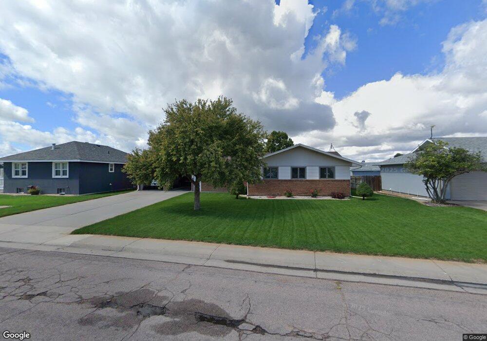
1622 Pheasant Ridge Sterling, CO 80751
Estimated Value: $309,584 - $407,000
3
Beds
2
Baths
1,468
Sq Ft
$248/Sq Ft
Est. Value
About This Home
This home is located at 1622 Pheasant Ridge, Sterling, CO 80751 and is currently estimated at $363,396, approximately $247 per square foot. 1622 Pheasant Ridge is a home located in Logan County with nearby schools including Ayres Elementary School, Campbell Elementary School, and Sterling Middle School.
Ownership History
Date
Name
Owned For
Owner Type
Purchase Details
Closed on
Jan 23, 2024
Sold by
Schmidt Charles E
Bought by
Schmidt Charles E and Schmidt Ryan E
Current Estimated Value
Purchase Details
Closed on
Dec 14, 2023
Sold by
Schmidt Janet Rae
Bought by
Schmidt Ryan E
Purchase Details
Closed on
May 4, 2023
Sold by
Schmidt Charles E
Bought by
Schmidt Charles E
Purchase Details
Closed on
Mar 28, 2013
Sold by
Zweygardt William W and Zweygardt Charlotte L
Bought by
Schmidt Charles E and Schmidt Janet R
Create a Home Valuation Report for This Property
The Home Valuation Report is an in-depth analysis detailing your home's value as well as a comparison with similar homes in the area
Purchase History
| Date | Buyer | Sale Price | Title Company |
|---|---|---|---|
| Schmidt Charles E | -- | None Listed On Document | |
| Schmidt Ryan E | -- | None Listed On Document | |
| Schmidt Charles E | -- | None Listed On Document | |
| Schmidt Ryan E | -- | None Listed On Document | |
| Schmidt Ryan E | $130,000 | None Listed On Document | |
| Schmidt Charles E | $170,000 | None Available |
Source: Public Records
Tax History
| Year | Tax Paid | Tax Assessment Tax Assessment Total Assessment is a certain percentage of the fair market value that is determined by local assessors to be the total taxable value of land and additions on the property. | Land | Improvement |
|---|---|---|---|---|
| 2025 | $1,222 | $20,825 | $0 | $0 |
| 2024 | $766 | $20,440 | $0 | $0 |
| 2023 | $766 | $20,440 | $0 | $0 |
| 2022 | $1,351 | $16,030 | $2,460 | $13,570 |
| 2021 | $1,320 | $16,490 | $2,530 | $13,960 |
| 2020 | $1,243 | $29,520 | $2,370 | $27,150 |
| 2019 | $1,234 | $29,200 | $2,370 | $26,830 |
| 2018 | $1,172 | $13,840 | $1,780 | $12,060 |
| 2017 | $1,153 | $67,290 | $8,670 | $58,620 |
| 2015 | $262 | $59,270 | $8,050 | $51,220 |
| 2014 | $262 | $53,110 | $8,050 | $45,060 |
| 2013 | $262 | $53,110 | $8,050 | $45,060 |
Source: Public Records
Map
Nearby Homes
- 1617 Zachary Dr
- 504 Lily Ln
- 804 Nicole Rd
- 404-406 Kochia Way
- 508 Fairhurst St
- 909 Fairhurst St
- 1010 Fairhurst St
- 714 Delmar St
- 1013 S 10th Ave
- 19140 Chambers Dr
- 603 Park St Unit 106
- 530 Taylor St
- 302 Beattie St
- 905 S 2nd Ave
- 401 Park St Unit 403
- 228 Taylor St Unit 230
- 704 S 3rd Ave
- 709 S 2nd Ave
- 131 Park St Unit A, B, C
- 320 Denver St
- 1616 Pheasant Ridge
- 1621 Robin Rd
- 1621 Pheasant Ridge Unit 1625
- 1627 Robin Rd
- 1704 Pheasant Ridge
- 1615 Robin Rd
- 1610 Pheasant Ridge
- 1703 Robin Rd
- 1609 Robin Rd
- 622 Jay Dr Unit 1,2,3,4
- 1710 Pheasant Ridge
- 629 Jay Dr
- 1603 Robin Rd
- 1709 Robin Rd
- 616 Jay Dr Unit A,B,C,D,E
- 1624 Robin Rd
- 1630 Robin Rd
- 1618 Robin Rd
- 1715 Robin Rd
- 621 Jay Dr
Your Personal Tour Guide
Ask me questions while you tour the home.