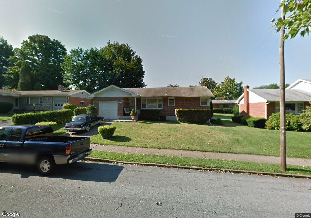
1625 Lois Ln Bethlehem, PA 18018
West Bethlehem NeighborhoodEstimated Value: $335,648 - $376,000
3
Beds
1
Bath
1,275
Sq Ft
$285/Sq Ft
Est. Value
About This Home
This home is located at 1625 Lois Ln, Bethlehem, PA 18018 and is currently estimated at $363,412, approximately $285 per square foot. 1625 Lois Ln is a home located in Lehigh County with nearby schools including James Buchanan Elementary School, Nitschmann Middle School, and Liberty High School.
Create a Home Valuation Report for This Property
The Home Valuation Report is an in-depth analysis detailing your home's value as well as a comparison with similar homes in the area
Home Values in the Area
Average Home Value in this Area
Tax History
We collect this data history from publicly available records. To have your information removed, we recommend requesting removal directly through your county’s website.
| Year | Tax Paid | Tax Assessment Tax Assessment Total Assessment is a certain percentage of the fair market value that is determined by local assessors to be the total taxable value of land and additions on the property. | Land | Improvement |
|---|---|---|---|---|
| 2026 | $4,767 | $162,100 | $28,500 | $133,600 |
| 2025 | $4,657 | $162,100 | $28,500 | $133,600 |
| 2024 | $4,604 | $162,100 | $28,500 | $133,600 |
| 2023 | $4,563 | $162,100 | $28,500 | $133,600 |
| 2022 | $4,638 | $162,100 | $133,600 | $28,500 |
| 2021 | $4,617 | $162,100 | $28,500 | $133,600 |
| 2020 | $4,469 | $162,100 | $28,500 | $133,600 |
| 2019 | $4,502 | $162,100 | $28,500 | $133,600 |
| 2018 | $4,414 | $162,100 | $28,500 | $133,600 |
| 2017 | $4,218 | $162,100 | $28,500 | $133,600 |
| 2016 | -- | $162,100 | $28,500 | $133,600 |
| 2015 | -- | $162,100 | $28,500 | $133,600 |
| 2014 | -- | $162,100 | $28,500 | $133,600 |
Source: Public Records
Map
Nearby Homes
- 1543 Eaton Ave
- 1800 Eastman Ave
- 1822 Eaton Ave
- 1133 Highland Ave
- 1236 Moffitt Ave
- 1020 Highland Ave
- 1224 Eaton Ave
- 1534 Eastwood Dr
- 1124 Beverly Ave
- 1214 Stanford Rd Unit 1214
- 1915 Eastman Ave
- 1551 Kelchner Rd
- 1953 Eaton Ave
- 1967 W Union Blvd
- 1522 W North St
- 1852 Richmond Ave
- 1712 W Broad St Unit 1702
- 1860 Rosewood Dr
- 919 7th Ave
- 1849 W Market St
Your Personal Tour Guide
Ask me questions while you tour the home.