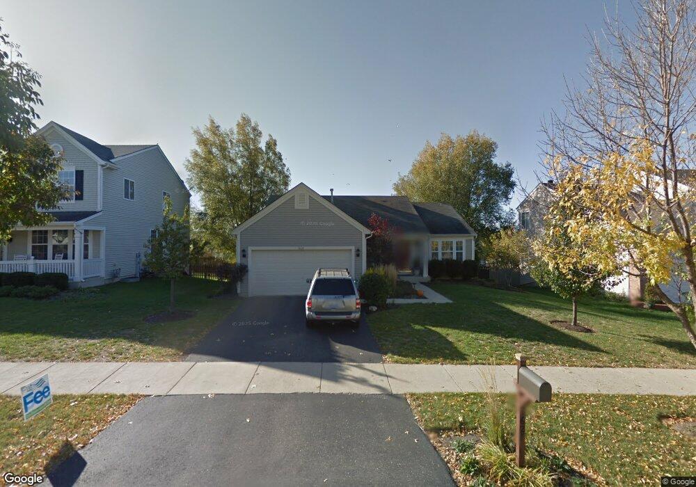
1627 Grantham Ln Aurora, IL 60503
Far Southeast NeighborhoodEstimated Value: $396,000 - $421,000
About This Home
This home is located at 1627 Grantham Ln, Aurora, IL 60503 and is currently estimated at $410,162, approximately $258 per square foot. 1627 Grantham Ln is a home located in Kendall County with nearby schools including The Wheatlands Elementary School, Bednarcik Jr. High School, and Oswego East High School.
Ownership History
We collect this data history from publicly available records. To have your information removed, we recommend requesting removal directly through your county’s website.
Purchase Details
Home Financials for this Owner
Home Financials are based on the most recent Mortgage that was taken out on this home.Home Values in the Area
Average Home Value in this Area
Purchase History
We collect this data history from publicly available records. To have your information removed, we recommend requesting removal directly through your county’s website.
| Date | Buyer | Sale Price | Title Company |
|---|---|---|---|
| $192,000 | -- |
Mortgage History
We collect this data history from publicly available records. To have your information removed, we recommend requesting removal directly through your county’s website.
| Date | Status | Borrower | Loan Amount |
|---|---|---|---|
| Open | $181,950 |
Tax History
We collect this data history from publicly available records. To have your information removed, we recommend requesting removal directly through your county’s website.
| Year | Tax Paid | Tax Assessment Tax Assessment Total Assessment is a certain percentage of the fair market value that is determined by local assessors to be the total taxable value of land and additions on the property. | Land | Improvement |
|---|---|---|---|---|
| 2025 | $9,232 | $125,296 | $32,174 | $93,122 |
| 2024 | $9,232 | $109,909 | $28,223 | $81,686 |
| 2023 | $8,460 | $98,133 | $25,199 | $72,934 |
| 2022 | $8,460 | $90,030 | $23,118 | $66,912 |
| 2021 | $7,930 | $81,845 | $21,016 | $60,829 |
| 2020 | $7,855 | $80,240 | $20,604 | $59,636 |
| 2019 | $7,452 | $74,819 | $20,604 | $54,215 |
| 2018 | $7,138 | $72,233 | $19,892 | $52,341 |
| 2017 | $6,914 | $66,575 | $18,334 | $48,241 |
| 2016 | $6,619 | $63,104 | $17,378 | $45,726 |
| 2015 | $6,813 | $60,099 | $16,550 | $43,549 |
| 2014 | -- | $56,697 | $15,613 | $41,084 |
| 2013 | -- | $57,270 | $15,771 | $41,499 |
Map
- 2120 Grand Pointe Trail
- 1965 Eastwick Ln
- 2269 Grand Pointe Trail
- 2213 Roaring Creek Dr
- 2032 Canyon Creek Dr
- 616 Lincoln Station Dr Unit 204
- 2068 Canyon Creek Ct Unit 2068
- 661 Lincoln Station Dr Unit 1005
- 2231 Lundquist Dr
- 1685 Baler Ave
- 1679 Baler Ave
- 1661 Baler Ave
- 1738 Baler Ave
- 1847 Baler Ave
- 1853 Baler Ave
- 1841 Baler Ave
- 1740 Baler Ave
- 1758 Fredericksburg Ln Unit 4145
- 1748 Stable Ln
- 1744 Stable Ln
- 1621 Grantham Ln
- 2102 Grand Pointe Trail
- 1633 Grantham Ln
- 2108 Grand Pointe Trail
- 2130 Summerlin Dr Unit 3
- 2130 Summerlin Dr
- 2111 Chesterfield Ln
- 2114 Grand Pointe Trail
- 1639 Grantham Ln
- 2120 Summerlin Dr
- 2103 Chesterfield Ln
- 1645 Grantham Ln Unit 3
- 2101 Grand Pointe Trail
- 2107 Grand Pointe Trail
- 2106 Chesterfield Ln
- 2113 Grand Pointe Trail
- 1651 Grantham Ln
- 2076 Dunhill Ln
- 2126 Grand Pointe Trail
- 2098 Chesterfield Ln
Ask me questions while you tour the home.