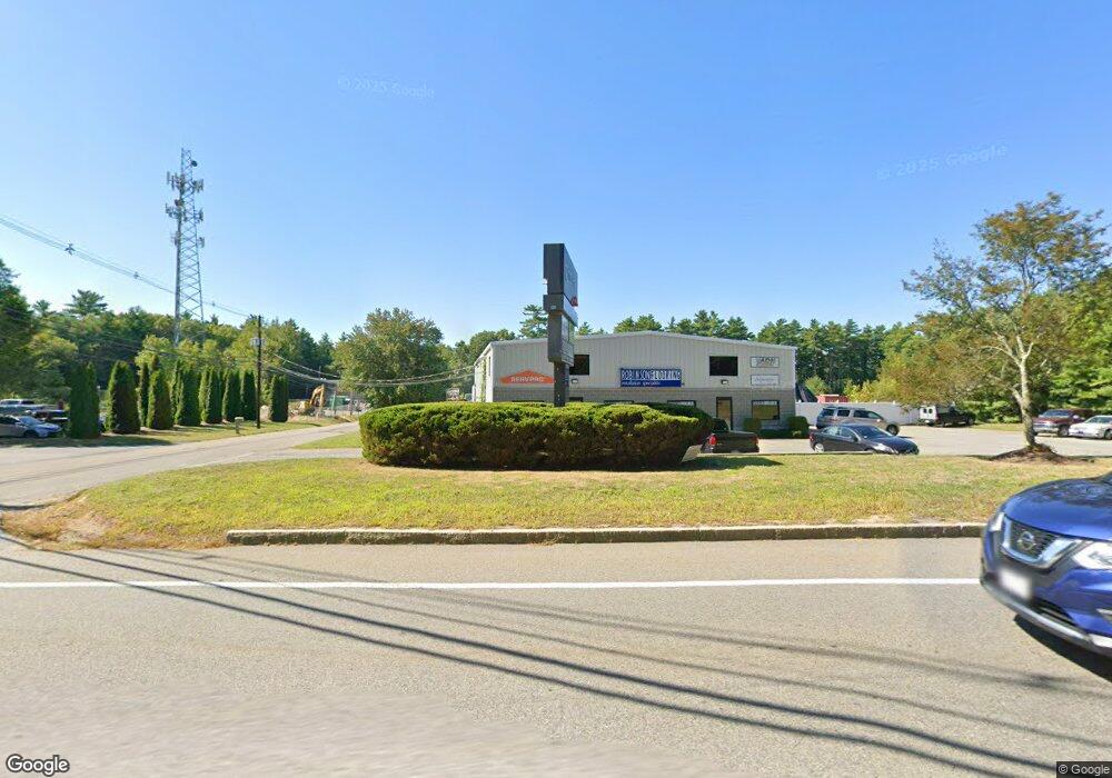
163 E Grove St Middleboro, MA 02346
Estimated Value: $491,014
2
Beds
1
Bath
864
Sq Ft
$568/Sq Ft
Est. Value
About This Home
This home is located at 163 E Grove St, Middleboro, MA 02346 and is currently estimated at $491,014, approximately $568 per square foot. 163 E Grove St is a home located in Plymouth County with nearby schools including Mary K. Goode Elementary School, Mullein Hill Christian Academy, and Samuel Fuller School.
Ownership History
Date
Name
Owned For
Owner Type
Purchase Details
Closed on
Sep 30, 1996
Sold by
Mdj Constr & Inv
Bought by
Correiro Autumn L
Current Estimated Value
Home Financials for this Owner
Home Financials are based on the most recent Mortgage that was taken out on this home.
Original Mortgage
$121,600
Outstanding Balance
$5,988
Interest Rate
7.83%
Mortgage Type
Commercial
Estimated Equity
$485,026
Create a Home Valuation Report for This Property
The Home Valuation Report is an in-depth analysis detailing your home's value as well as a comparison with similar homes in the area
Home Values in the Area
Average Home Value in this Area
Purchase History
| Date | Buyer | Sale Price | Title Company |
|---|---|---|---|
| Correiro Autumn L | $128,000 | -- | |
| Mdj Constr & Inv | $40,000 | -- | |
| Correiro Autumn L | $128,000 | -- |
Source: Public Records
Mortgage History
| Date | Status | Borrower | Loan Amount |
|---|---|---|---|
| Open | Correiro Autumn L | $20,000 | |
| Open | Correiro Autumn L | $121,600 | |
| Closed | Correiro Autumn L | $121,600 | |
| Previous Owner | Correiro Autumn L | $80,000 |
Source: Public Records
Tax History
| Year | Tax Paid | Tax Assessment Tax Assessment Total Assessment is a certain percentage of the fair market value that is determined by local assessors to be the total taxable value of land and additions on the property. | Land | Improvement |
|---|---|---|---|---|
| 2025 | $8,316 | $585,200 | $154,500 | $430,700 |
| 2024 | $8,845 | $616,400 | $154,500 | $461,900 |
| 2023 | $9,027 | $597,800 | $135,900 | $461,900 |
| 2022 | $9,561 | $585,500 | $123,600 | $461,900 |
| 2021 | $8,112 | $470,000 | $102,800 | $367,200 |
| 2020 | $7,924 | $470,000 | $102,800 | $367,200 |
| 2019 | $7,727 | $470,000 | $102,800 | $367,200 |
| 2018 | $7,788 | $470,000 | $102,800 | $367,200 |
| 2017 | $7,882 | $470,000 | $102,800 | $367,200 |
| 2016 | $7,508 | $443,200 | $102,800 | $340,400 |
| 2015 | $7,432 | $443,200 | $102,800 | $340,400 |
Source: Public Records
Map
Nearby Homes
- 162 E Grove St
- 95 Cherry St
- Lot 9 Christina Way
- 12 Basking Ridge
- 2 Wholan Park
- 7 Tispaquin St
- 106 Old East Grove St
- LOT A Wood St
- 295 Cherry St
- 124 Ashley Ln Unit 12-4
- 25 Acorn St
- 8 Gerald Dr
- 26 Susan Ln
- 13 Beverly's Way Unit 13
- 14 Landing Way Unit 14
- 17 Landing Way Unit 17
- 53 Miller St
- 18 Rock St
- 15 E Grove St
- 2 Clifford St
- 167 E Grove St
- 165 E Grove St
- 161 E Grove St Unit 2
- 161 E Grove St Unit 1
- 161 E Grove St Unit 4
- 161 E Grove St Unit 1,3
- 161 E Grove St
- 161 E Grove St Unit 3
- 155 E Grove St
- 151 E Grove St
- 147 E Grove St
- 143 E Grove St
- 177 E Grove St
- 144 E Grove St
- 137 E Grove St
- 140 Cherry St
- 132 Cherry St
- 126 Cherry St
- 142 E Grove St
- 5 Glacier Path Unit 5
Your Personal Tour Guide
Ask me questions while you tour the home.