1630 Deerpath Rd Franktown, CO 80116
Estimated Value: $758,884 - $863,000
3
Beds
3
Baths
1,504
Sq Ft
$551/Sq Ft
Est. Value
About This Home
This home is located at 1630 Deerpath Rd, Franktown, CO 80116 and is currently estimated at $827,961, approximately $550 per square foot. 1630 Deerpath Rd is a home located in Douglas County with nearby schools including Franktown Elementary School, Sagewood Middle School, and Ponderosa High School.
Ownership History
Date
Name
Owned For
Owner Type
Purchase Details
Closed on
Jul 15, 2019
Sold by
Nielsen Keith H
Bought by
Keith H Nelsen Revocable Trust
Current Estimated Value
Purchase Details
Closed on
Jun 21, 1988
Sold by
Nielsen Keith H and Nielsen Marie A
Bought by
Nielsen Keith H
Purchase Details
Closed on
Jan 22, 1986
Sold by
Henninger Robert A and Henninger Lois J
Bought by
Nielsen Keith H and Nielsen Marie A
Purchase Details
Closed on
Jul 31, 1978
Sold by
Unavailable
Bought by
Unavailable
Create a Home Valuation Report for This Property
The Home Valuation Report is an in-depth analysis detailing your home's value as well as a comparison with similar homes in the area
Purchase History
| Date | Buyer | Sale Price | Title Company |
|---|---|---|---|
| Keith H Nelsen Revocable Trust | -- | None Available | |
| Nielsen Keith H | -- | -- | |
| Nielsen Keith H | $103,400 | -- | |
| Unavailable | $83,300 | -- |
Source: Public Records
Tax History
| Year | Tax Paid | Tax Assessment Tax Assessment Total Assessment is a certain percentage of the fair market value that is determined by local assessors to be the total taxable value of land and additions on the property. | Land | Improvement |
|---|---|---|---|---|
| 2025 | $4,300 | $42,870 | $22,070 | $20,800 |
| 2024 | $4,300 | $53,580 | $28,570 | $25,010 |
| 2023 | $4,348 | $53,580 | $28,570 | $25,010 |
| 2022 | $3,387 | $40,460 | $18,140 | $22,320 |
| 2021 | $3,510 | $40,460 | $18,140 | $22,320 |
| 2020 | $3,173 | $37,420 | $16,330 | $21,090 |
| 2019 | $3,188 | $37,420 | $16,330 | $21,090 |
| 2018 | $2,744 | $31,640 | $12,680 | $18,960 |
| 2017 | $2,555 | $31,640 | $12,680 | $18,960 |
| 2016 | $2,321 | $28,180 | $9,430 | $18,750 |
| 2015 | $2,373 | $28,180 | $9,430 | $18,750 |
| 2014 | $2,286 | $25,370 | $9,150 | $16,220 |
Source: Public Records
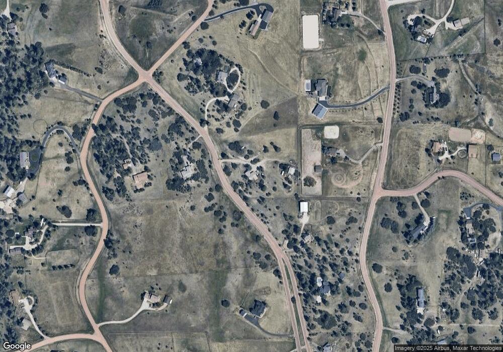
Map
Nearby Homes
- 1579 Deerpath Rd
- 1730 Ward Cir
- 2130 Frontier Ln
- 2218 Deerpath Rd
- 8788 E Tanglewood Rd
- 75 Evening Hunt Rd
- 9212 Tanglewood Rd
- 11011 Sunset Oaks
- 11060 Evening Hunt Rd
- 11008 Sunset Oaks Place
- 11004 Sunset Oaks Place
- 2717 Fox View Trail
- 11250 Running Kit Place
- 9805 Deerfield Rd
- 11491 Evening Hunt Rd
- 2379 Fox View Trail
- 2741 Morning Run Ct
- 2622 Fox View Trail
- 87 Evening Hunt Rd
- 3125 Red Kit Rd
- 1695 Deerpath Rd
- 1564 Deerpath Rd
- 1813 Deerpath Trail
- 1706 Deerpath Rd
- 0 Deerpath Rd
- 1658 Columbine Dr
- 1885 Deerpath Trail
- 1536 Columbine Dr
- 1493 Deerpath Rd
- 1494 Deerpath Rd
- 1848 Columbine Dr
- 1494 Deeepath Rd
- 1442 Columbine Dr
- 10979 Holden Cir
- 10950 Holden Cir
- 1820 Deerpath Trail
- 1961 Deerpath Trail
- 1390 Deerpath Rd
- 1415 Deerpath Rd
- 1878 Deerpath Trail
Your Personal Tour Guide
Ask me questions while you tour the home.