16339 Stark Rd Springport, MI 49284
Estimated Value: $211,000 - $539,087
--
Bed
4
Baths
2,400
Sq Ft
$139/Sq Ft
Est. Value
About This Home
This home is located at 16339 Stark Rd, Springport, MI 49284 and is currently estimated at $333,029, approximately $138 per square foot. 16339 Stark Rd is a home located in Jackson County with nearby schools including Springport Elementary School, Springport Middle School, and Springport High School.
Ownership History
Date
Name
Owned For
Owner Type
Purchase Details
Closed on
Dec 27, 2012
Sold by
Estate Of Douglas J Southworth
Bought by
Cook Eliott J and Cook Besty L
Current Estimated Value
Home Financials for this Owner
Home Financials are based on the most recent Mortgage that was taken out on this home.
Original Mortgage
$96,000
Outstanding Balance
$66,467
Interest Rate
3.28%
Mortgage Type
Future Advance Clause Open End Mortgage
Estimated Equity
$266,562
Create a Home Valuation Report for This Property
The Home Valuation Report is an in-depth analysis detailing your home's value as well as a comparison with similar homes in the area
Purchase History
| Date | Buyer | Sale Price | Title Company |
|---|---|---|---|
| Cook Eliott J | $120,000 | Midstate Title Agency Of Sou |
Source: Public Records
Mortgage History
| Date | Status | Borrower | Loan Amount |
|---|---|---|---|
| Open | Cook Eliott J | $96,000 |
Source: Public Records
Tax History
| Year | Tax Paid | Tax Assessment Tax Assessment Total Assessment is a certain percentage of the fair market value that is determined by local assessors to be the total taxable value of land and additions on the property. | Land | Improvement |
|---|---|---|---|---|
| 2025 | $4,957 | $260,500 | $0 | $0 |
| 2024 | $15 | $237,400 | $0 | $0 |
| 2023 | $1,451 | $220,500 | $0 | $0 |
| 2022 | $3,100 | $195,800 | $0 | $0 |
| 2021 | $4,413 | $174,100 | $0 | $0 |
| 2020 | $760 | $125,600 | $0 | $0 |
| 2019 | $1,788 | $107,600 | $0 | $0 |
| 2018 | $1,752 | $98,600 | $0 | $0 |
| 2017 | $1,657 | $109,700 | $0 | $0 |
| 2016 | $521 | $93,700 | $43,400 | $50,300 |
| 2015 | -- | $89,000 | $89,000 | $0 |
| 2014 | -- | $86,500 | $86,500 | $0 |
| 2013 | -- | $86,500 | $86,500 | $0 |
Source: Public Records
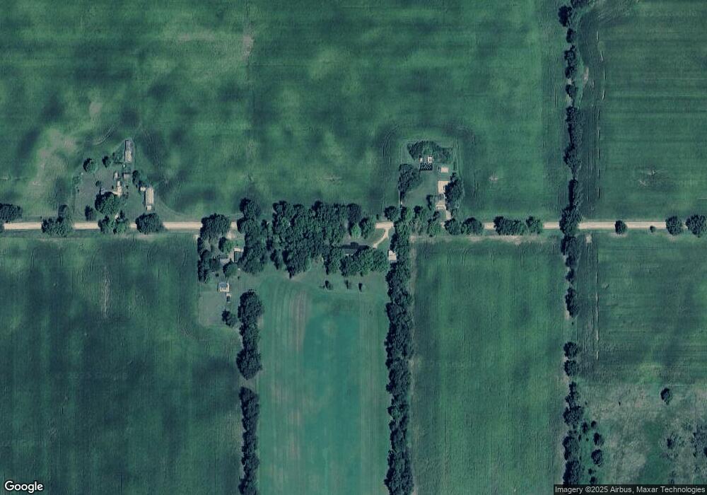
Map
Nearby Homes
- 16711 Stark Rd
- 7295 N Gibbs Rd
- 330 Grand St
- 598 E Main St
- 29510 S Dr N
- 19822 27 1 2 Mile Rd
- 15394 Devereaux Rd
- 13025 Pope Church Rd
- 26854 Q-Drive N
- 12441 Town Rd
- 26493 Anderson Rd
- V/L 26 1 2 Mile Rd
- 12261 Pope Church Rd
- 6950 Brown Rd
- 9761 Brown Rd
- 19985 26 Mile Rd
- 6947 Brown Rd
- 4601 Anderson Dr
- 28660 E Baseline Hwy
- 28546 F Dr N
- 16332 Stark Rd
- 16461 Stark Rd
- 16091 Stark Rd
- 8341 Eaton Rapids Rd
- 8363 Eaton Rapids Rd
- 8355 Eaton Rapids Rd
- 8353 Eaton Rapids Rd
- 8521 Eaton Rapids Rd
- 8349 Eaton Rapids Rd
- 8219 Eaton Rapids Rd
- 16732 Stark Rd
- 8217 Eaton Rapids Rd
- 8211 Eaton Rapids Rd
- 8213 Eaton Rapids Rd
- 16791 Stark Rd
- 15812 Stark Rd
- 15994 Town Rd
- 15796 Stark Rd
- 7920 Eaton Rapids Rd
- 16584 Craver Rd
Your Personal Tour Guide
Ask me questions while you tour the home.