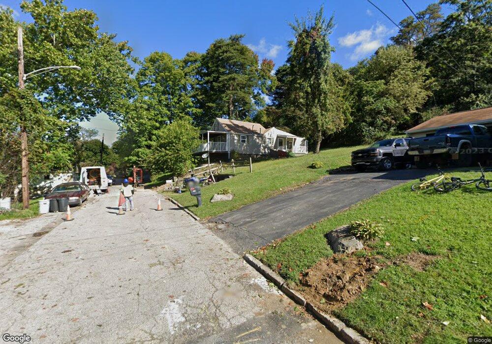
1635 2nd Ave Conway, PA 15027
Estimated Value: $60,409 - $115,000
2
Beds
1
Bath
600
Sq Ft
$143/Sq Ft
Est. Value
About This Home
This home is located at 1635 2nd Ave, Conway, PA 15027 and is currently estimated at $85,852, approximately $143 per square foot. 1635 2nd Ave is a home located in Beaver County with nearby schools including Freedom Area Elementary School, Freedom Area Middle School, and Freedom Area Senior High School.
Ownership History
Date
Name
Owned For
Owner Type
Purchase Details
Closed on
Dec 15, 2022
Sold by
Hartley Diane L
Bought by
Flook Michael J
Current Estimated Value
Home Financials for this Owner
Home Financials are based on the most recent Mortgage that was taken out on this home.
Original Mortgage
$42,929
Outstanding Balance
$41,587
Interest Rate
7.08%
Mortgage Type
New Conventional
Estimated Equity
$44,265
Purchase Details
Closed on
Jan 23, 2008
Sold by
Homesales Inc
Bought by
Hartley Diane L
Create a Home Valuation Report for This Property
The Home Valuation Report is an in-depth analysis detailing your home's value as well as a comparison with similar homes in the area
Home Values in the Area
Average Home Value in this Area
Purchase History
| Date | Buyer | Sale Price | Title Company |
|---|---|---|---|
| Flook Michael J | $42,500 | Heritage Security & Service | |
| Hartley Diane L | $20,000 | -- | |
| Hartley Diane L | $20,000 | None Available |
Source: Public Records
Mortgage History
| Date | Status | Borrower | Loan Amount |
|---|---|---|---|
| Open | Flook Michael J | $42,929 |
Source: Public Records
Tax History
| Year | Tax Paid | Tax Assessment Tax Assessment Total Assessment is a certain percentage of the fair market value that is determined by local assessors to be the total taxable value of land and additions on the property. | Land | Improvement |
|---|---|---|---|---|
| 2025 | $327 | $44,600 | $12,800 | $31,800 |
| 2024 | $1,528 | $44,600 | $12,800 | $31,800 |
| 2023 | $1,352 | $11,000 | $1,550 | $9,450 |
| 2022 | $1,313 | $11,000 | $1,550 | $9,450 |
| 2021 | $1,313 | $11,000 | $1,550 | $9,450 |
| 2020 | $1,224 | $11,000 | $1,550 | $9,450 |
| 2019 | $1,224 | $11,000 | $1,550 | $9,450 |
| 2018 | $1,177 | $11,000 | $1,550 | $9,450 |
| 2017 | $1,177 | $11,000 | $1,550 | $9,450 |
| 2016 | $1,074 | $11,000 | $1,550 | $9,450 |
| 2015 | $244 | $11,000 | $1,550 | $9,450 |
| 2014 | $244 | $11,000 | $1,550 | $9,450 |
Source: Public Records
Map
Nearby Homes
- 744 N Gross St
- 1508 Dupont St
- 1227 Porter St
- 1001 2nd Ave
- 1025 Catherine Dr
- 1079 Catherine Dr
- 245 Conway Wallrose Rd
- 1530 6th Ave
- 500 Conway Wallrose Rd
- 450 Knollwood Cir
- 149 Shady River Blvd Unit 40 B
- 150 Shady River Blvd Unit 56A
- 154 Shady River Blvd
- 300 River Ridge Ct
- 328 River Ridge Ct Unit 47B
- 1369 5th Ave
- 1365 5th Ave
- 996 Monaca Rd
- 0 Orchard Ave Unit 1725623
- 155 Sproat Ave
Your Personal Tour Guide
Ask me questions while you tour the home.