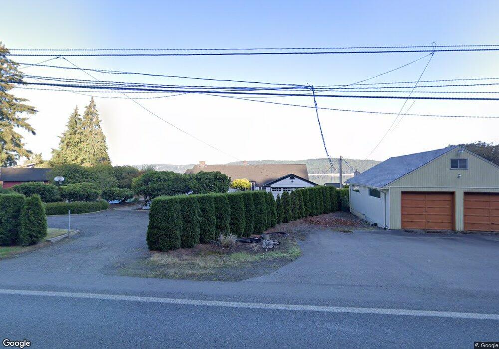
16351 E State Route 106 Belfair, WA 98528
Estimated Value: $819,000 - $1,113,000
2
Beds
2
Baths
1,384
Sq Ft
$714/Sq Ft
Est. Value
About This Home
This home is located at 16351 E State Route 106, Belfair, WA 98528 and is currently estimated at $988,747, approximately $714 per square foot. 16351 E State Route 106 is a home located in Mason County with nearby schools including North Mason Senior High School.
Ownership History
Date
Name
Owned For
Owner Type
Purchase Details
Closed on
Oct 22, 2011
Sold by
Deasy E Jane
Bought by
Nixon Allan R and Nixon Janet E
Current Estimated Value
Home Financials for this Owner
Home Financials are based on the most recent Mortgage that was taken out on this home.
Original Mortgage
$385,000
Outstanding Balance
$259,655
Interest Rate
3.87%
Mortgage Type
New Conventional
Estimated Equity
$729,092
Purchase Details
Closed on
Dec 27, 2008
Sold by
Deasy E Jane
Bought by
Deasy E Jane and Deasy Revocable Living Trust
Create a Home Valuation Report for This Property
The Home Valuation Report is an in-depth analysis detailing your home's value as well as a comparison with similar homes in the area
Purchase History
| Date | Buyer | Sale Price | Title Company |
|---|---|---|---|
| Nixon Allan R | $485,000 | Mason County Title Ins Co | |
| Deasy E Jane | -- | None Available |
Source: Public Records
Mortgage History
| Date | Status | Borrower | Loan Amount |
|---|---|---|---|
| Open | Nixon Allan R | $385,000 |
Source: Public Records
Tax History
| Year | Tax Paid | Tax Assessment Tax Assessment Total Assessment is a certain percentage of the fair market value that is determined by local assessors to be the total taxable value of land and additions on the property. | Land | Improvement |
|---|---|---|---|---|
| 2025 | $7,367 | $923,080 | $248,985 | $674,095 |
| 2023 | $7,367 | $779,215 | $444,615 | $334,600 |
| 2022 | $6,654 | $728,475 | $262,655 | $465,820 |
| 2021 | $5,011 | $728,475 | $262,655 | $465,820 |
| 2020 | $6,253 | $559,725 | $251,940 | $307,785 |
| 2018 | $6,160 | $530,010 | $335,915 | $194,095 |
| 2017 | $5,642 | $529,975 | $335,880 | $194,095 |
| 2016 | $5,982 | $496,335 | $319,885 | $176,450 |
| 2015 | $6,146 | $530,640 | $352,455 | $178,185 |
| 2014 | -- | $537,390 | $368,295 | $169,095 |
| 2013 | -- | $520,055 | $356,415 | $163,640 |
Source: Public Records
Map
Nearby Homes
- 0 E Greenberg Ln
- 16901 E State Route 106
- 70 E Windy Ridge Ln
- 500 E Morris Creek Dr
- 1552 Lts 1&2 E Trails End (& Rasor) Dr
- 1 Parcel E Johnson Ridge Dr
- 7 Parcel E Johnson Ridge Dr
- 10 Track Rimstone Loop
- 11 Track Rimstone Loop
- 9 Track Rimstone Loop
- 6 Track Rimstone Loop
- 1180 E Trails End Dr
- 3 Track Rimstone Loop
- 2 Track Rimstone Loop
- 7 Track Rimstone Loop
- 1961 E Trails End Dr
- 14870 E State Route 106
- 61 E Ellinor Peak Place
- 17871 E State Route 106
- 30 E Richardson Rd
- 16401 E State Route 106
- 16331 E State Route 106
- 16321 E State Route 106
- 16411 E State Route 106
- 16301 E State Route 106
- 16291 E State Route 106
- 16291 Washington 106
- 16421 E State Route 106
- 16263 E State Route 106
- 16431 E State Route 106
- 16263 Washington 106
- 16261 E State Route 106
- 16451 Washington 106
- 16451 E State Route 106
- 16231 E State Route 106
- 16461 E State Route 106
- 16481 E State Route 106
- 16491 E State Route 106
- 16211 E State Route 106
- 16191 E State Route 106
Your Personal Tour Guide
Ask me questions while you tour the home.