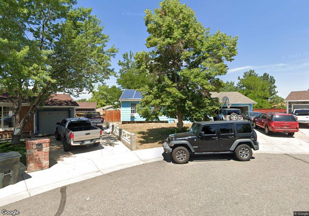
16367 E Wyoming Dr Aurora, CO 80017
Rocky Ridge NeighborhoodEstimated Value: $436,000 - $488,000
About This Home
This home is located at 16367 E Wyoming Dr, Aurora, CO 80017 and is currently estimated at $470,836, approximately $234 per square foot. 16367 E Wyoming Dr is a home located in Arapahoe County with nearby schools including Iowa Elementary School, Mrachek Middle School, and Gateway High School.
Ownership History
We collect this data history from publicly available records. To have your information removed, we recommend requesting removal directly through your county’s website.
Purchase Details
Home Financials for this Owner
Home Financials are based on the most recent Mortgage that was taken out on this home.Purchase Details
Home Financials for this Owner
Home Financials are based on the most recent Mortgage that was taken out on this home.Purchase Details
Home Financials for this Owner
Home Financials are based on the most recent Mortgage that was taken out on this home.Purchase Details
Purchase Details
Purchase Details
Home Values in the Area
Average Home Value in this Area
Purchase History
We collect this data history from publicly available records. To have your information removed, we recommend requesting removal directly through your county’s website.
| Date | Buyer | Sale Price | Title Company |
|---|---|---|---|
| $340,000 | First American Title | ||
| $280,000 | Land Title Guarantee Co | ||
| $187,000 | Guardian Title | ||
| -- | -- | ||
| -- | -- | ||
| -- | -- |
Mortgage History
We collect this data history from publicly available records. To have your information removed, we recommend requesting removal directly through your county’s website.
| Date | Status | Borrower | Loan Amount |
|---|---|---|---|
| Open | $333,841 | ||
| Previous Owner | $289,240 | ||
| Previous Owner | $191,020 |
Tax History
We collect this data history from publicly available records. To have your information removed, we recommend requesting removal directly through your county’s website.
| Year | Tax Paid | Tax Assessment Tax Assessment Total Assessment is a certain percentage of the fair market value that is determined by local assessors to be the total taxable value of land and additions on the property. | Land | Improvement |
|---|---|---|---|---|
| 2026 | $3,304 | $30,068 | -- | -- |
| 2025 | $2,975 | $30,706 | -- | -- |
| 2024 | $2,886 | $31,048 | -- | -- |
| 2023 | $2,886 | $31,048 | $0 | $0 |
| 2022 | $2,377 | $23,672 | $0 | $0 |
| 2021 | $2,454 | $23,672 | $0 | $0 |
| 2020 | $2,600 | $24,968 | $0 | $0 |
| 2019 | $2,586 | $24,968 | $0 | $0 |
| 2018 | $2,056 | $19,440 | $0 | $0 |
| 2017 | $1,788 | $19,440 | $0 | $0 |
| 2016 | $1,366 | $14,543 | $0 | $0 |
| 2015 | $1,319 | $14,543 | $0 | $0 |
| 2014 | $1,124 | $11,940 | $0 | $0 |
| 2013 | -- | $14,090 | $0 | $0 |
Map
- 16351 E Idaho Place
- 1451 S Norfolk St
- 16233 E Louisiana Place
- 1123 S Lewiston Way
- 16562 E Louisiana Dr
- 16344 E Carolina Dr
- 1140 S Kittredge St
- 1413 S Kittredge St
- 1069 S Lewiston Way
- 1513 S Ouray Cir Unit A
- 1595 S Norfolk St
- 1129 S Kittredge St
- 1589 S Lewiston St
- 1514 S Ouray Cir Unit B
- 1545 S Ouray Cir Unit B
- 16828 E Gunnison Dr Unit 7D
- 16808 E Gunnison Dr Unit 6H
- 16821 E Hawaii Dr Unit 3C
- 1024 S Mobile St
- 1268 S Idalia St
- 16377 E Wyoming Dr
- 1258 S Memphis St
- 1278 S Memphis St
- 16357 E Wyoming Dr
- 1238 S Memphis St
- 16316 E Alabama Dr
- 16326 E Alabama Dr
- 1298 S Memphis St
- 16387 E Wyoming Dr
- 1208 S Memphis St
- 16397 E Wyoming Dr
- 16336 E Alabama Dr
- 16358 E Wyoming Dr
- 1325 S Norfolk St
- 16338 E Wyoming Dr
- 1257 S Memphis St
- 1277 S Memphis St
- 16378 E Wyoming Dr
- 1335 S Norfolk St
- 1297 S Memphis St
Ask me questions while you tour the home.