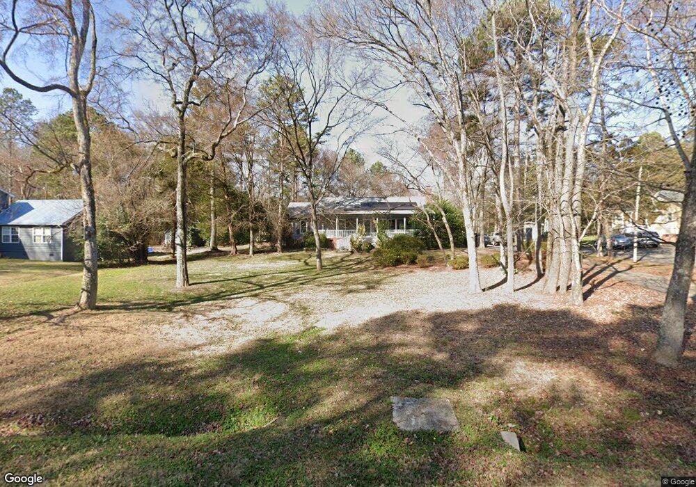
1638 Ebinport Rd Rock Hill, SC 29732
Estimated Value: $289,523 - $367,000
3
Beds
2
Baths
1,644
Sq Ft
$198/Sq Ft
Est. Value
About This Home
This home is located at 1638 Ebinport Rd, Rock Hill, SC 29732 and is currently estimated at $325,881, approximately $198 per square foot. 1638 Ebinport Rd is a home located in York County with nearby schools including Ebinport Elementary School, W.C. Sullivan Middle School, and Rock Hill High School.
Ownership History
Date
Name
Owned For
Owner Type
Purchase Details
Closed on
Mar 20, 2020
Sold by
Tidwell Wendy and Tidwell Kay
Bought by
Tidwell Wendy
Current Estimated Value
Purchase Details
Closed on
Feb 12, 2010
Sold by
Leppard Benjamin T and Leppard Deborah K
Bought by
Tidwell Wendy and Tidwell Kay
Home Financials for this Owner
Home Financials are based on the most recent Mortgage that was taken out on this home.
Original Mortgage
$149,737
Outstanding Balance
$98,167
Interest Rate
5%
Mortgage Type
FHA
Estimated Equity
$227,714
Create a Home Valuation Report for This Property
The Home Valuation Report is an in-depth analysis detailing your home's value as well as a comparison with similar homes in the area
Home Values in the Area
Average Home Value in this Area
Purchase History
| Date | Buyer | Sale Price | Title Company |
|---|---|---|---|
| Tidwell Wendy | -- | None Available | |
| Tidwell Wendy | $152,500 | -- |
Source: Public Records
Mortgage History
| Date | Status | Borrower | Loan Amount |
|---|---|---|---|
| Open | Tidwell Wendy | $149,737 |
Source: Public Records
Tax History
| Year | Tax Paid | Tax Assessment Tax Assessment Total Assessment is a certain percentage of the fair market value that is determined by local assessors to be the total taxable value of land and additions on the property. | Land | Improvement |
|---|---|---|---|---|
| 2025 | $1,052 | $7,702 | $1,372 | $6,330 |
| 2024 | $938 | $6,697 | $1,120 | $5,577 |
| 2023 | $962 | $6,697 | $1,120 | $5,577 |
| 2022 | $966 | $6,697 | $1,120 | $5,577 |
| 2021 | -- | $6,697 | $1,120 | $5,577 |
| 2020 | $895 | $6,222 | $0 | $0 |
| 2019 | $877 | $5,820 | $0 | $0 |
| 2018 | $872 | $5,820 | $0 | $0 |
| 2017 | $822 | $5,820 | $0 | $0 |
| 2016 | $806 | $5,820 | $0 | $0 |
| 2014 | $734 | $5,760 | $1,120 | $4,640 |
| 2013 | $734 | $5,760 | $1,120 | $4,640 |
Source: Public Records
Map
Nearby Homes
- 1705 Kallaramo Rd
- 1459 Gregson Ct
- 1530 Hollythorne Dr
- 1512 Hollythorne Dr
- 1439 Woodhurst Dr
- 2263 India Hook Rd
- 914 Ragin Ln
- 740 Tavern Ct Unit 7
- 1406 Woodhurst Dr
- 1412 Ebinport Rd
- 1799 Overbrook Dr
- 1359 Deas St
- 1427 Hollythorne Dr
- 3708 Celanese Rd
- 1352 Steed St
- 1981 Hamptonwood Rd
- 1355 Ebinport Rd
- 1318 McDow Dr
- 800 Warrington Place
- 100 Warrington Place
- 1630 Ebinport Rd
- 1708 Hyatt Ave
- 1706 Hyatt Ave
- 1646 Ebinport Rd
- 1704 Hyatt Ave
- 1707 Hyatt Ave
- 1528 Merrie Meadow Ct
- 1607 Matthews Dr
- 1656 Ebinport Rd
- 1525 Merrie Meadow Ct
- 1524 Merrie Meadow Ct
- 1709 Hyatt Ave
- 1717 Matthews Dr
- 1717 Matthews Dr Unit None
- 1662 Ebinport Rd
- 1520 Merrie Meadow Ct
- 1523 Merrie Meadow Ct Unit 41 MP 3
- 1711 Hyatt Ave
- 1725 Matthews Dr
- 1518 Shadewood Ct
Your Personal Tour Guide
Ask me questions while you tour the home.