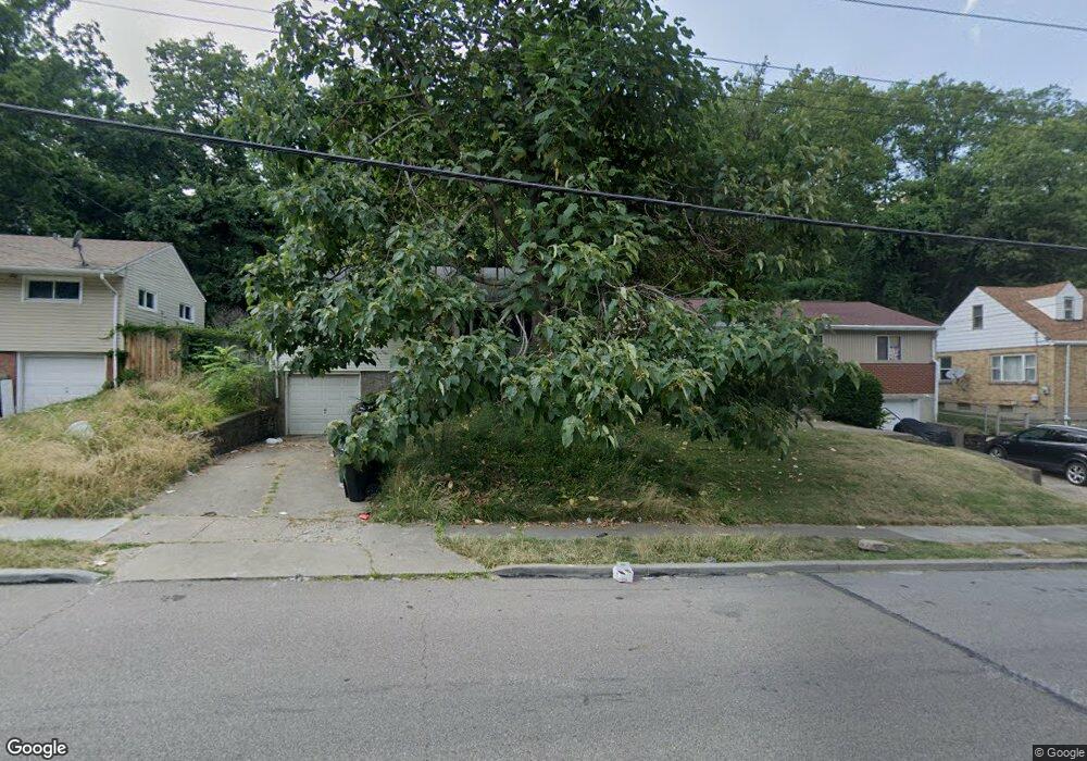
1639 Quebec Rd Cincinnati, OH 45205
West Price Hill NeighborhoodEstimated Value: $111,000 - $155,000
1
Bed
1
Bath
792
Sq Ft
$166/Sq Ft
Est. Value
About This Home
This home is located at 1639 Quebec Rd, Cincinnati, OH 45205 and is currently estimated at $131,595, approximately $166 per square foot. 1639 Quebec Rd is a home located in Hamilton County with nearby schools including Carson School, Gilbert A. Dater High School, and Western Hills High School.
Ownership History
Date
Name
Owned For
Owner Type
Purchase Details
Closed on
Sep 27, 2011
Sold by
Einhaus David and Einhaus David John
Bought by
U S Bank Na
Current Estimated Value
Purchase Details
Closed on
Jul 12, 2011
Sold by
Us Bank Na
Bought by
Secretary Of Housing & Urban Development
Purchase Details
Closed on
Oct 27, 2000
Sold by
Mause Norbert A and Mause Geraldine P
Bought by
Einhaus David
Create a Home Valuation Report for This Property
The Home Valuation Report is an in-depth analysis detailing your home's value as well as a comparison with similar homes in the area
Home Values in the Area
Average Home Value in this Area
Purchase History
| Date | Buyer | Sale Price | Title Company |
|---|---|---|---|
| U S Bank Na | $36,000 | None Available | |
| Secretary Of Housing & Urban Development | -- | None Available | |
| Einhaus David | $64,000 | -- |
Source: Public Records
Tax History
| Year | Tax Paid | Tax Assessment Tax Assessment Total Assessment is a certain percentage of the fair market value that is determined by local assessors to be the total taxable value of land and additions on the property. | Land | Improvement |
|---|---|---|---|---|
| 2025 | $1,895 | $24,371 | $3,658 | $20,713 |
| 2024 | $863 | $24,371 | $3,658 | $20,713 |
| 2023 | $934 | $24,371 | $3,658 | $20,713 |
| 2022 | $420 | $14,809 | $3,220 | $11,589 |
| 2021 | $388 | $14,809 | $3,220 | $11,589 |
| 2020 | $415 | $14,809 | $3,220 | $11,589 |
| 2019 | $351 | $13,461 | $2,926 | $10,535 |
| 2018 | $352 | $13,461 | $2,926 | $10,535 |
| 2017 | $326 | $13,461 | $2,926 | $10,535 |
| 2016 | $645 | $18,001 | $3,280 | $14,721 |
| 2015 | $589 | $18,001 | $3,280 | $14,721 |
| 2014 | $595 | $18,001 | $3,280 | $14,721 |
| 2013 | $1,227 | $18,557 | $3,381 | $15,176 |
Source: Public Records
Map
Nearby Homes
- 1700 Minion Ave
- 1613 Wyoming Ave
- 1318 Beech Ave
- 1440 Manss Ave
- 3744 Mayfield Ave
- 1812 Quebec Rd
- 1231 Ridlen Ave
- 1626 Iliff Ave
- 3711 Glenway Ave
- 4000 Akochia Ave
- 1647 Dewey Ave
- 3719 Laclede Ave
- 2187 Quebec Rd
- 1261 Dewey Ave
- 1222 Dewey Ave
- 1136 Gilsey Ave
- 3320 Freddie Dr
- 2245 Quebec Rd
- 3321 Glenway Ave
- 1124 Elberon Ave
- 1641 Quebec Rd
- 1637 Quebec Rd
- 1643 Quebec Rd
- 1704 Wyoming Ave
- 1706 Wyoming Ave
- 1645 Quebec Rd
- 1708 Wyoming Ave
- 1635 Quebec Rd
- 1646 Wyoming Ave
- 1651 Quebec Rd
- 1640 Quebec Rd
- 1642 Quebec Rd
- 1716 Wyoming Ave
- 1642 Wyoming Ave
- 1638 Quebec Rd
- 1644 Quebec Rd
- 1636 Quebec Rd
- 1638 Wyoming Ave
- 1646 Quebec Rd
- 1718 Wyoming Ave
Your Personal Tour Guide
Ask me questions while you tour the home.