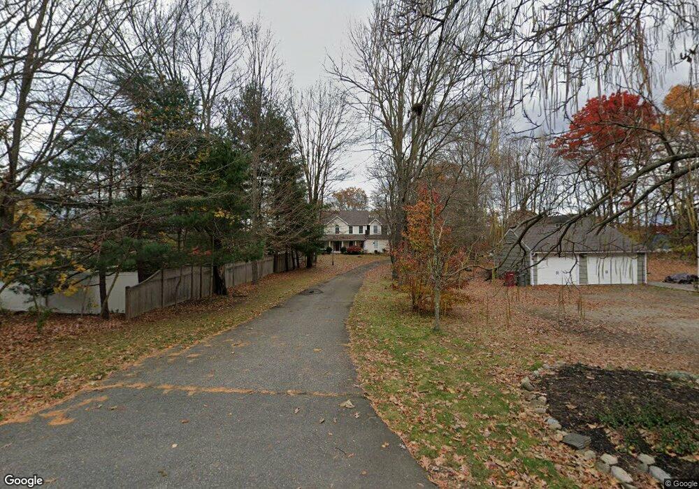
164 Maple Hill Rd Naugatuck, CT 06770
Estimated Value: $588,695 - $701,000
4
Beds
3
Baths
3,366
Sq Ft
$192/Sq Ft
Est. Value
About This Home
This home is located at 164 Maple Hill Rd, Naugatuck, CT 06770 and is currently estimated at $646,924, approximately $192 per square foot. 164 Maple Hill Rd is a home located in New Haven County with nearby schools including City Hill Middle School and Naugatuck High School.
Ownership History
Date
Name
Owned For
Owner Type
Purchase Details
Closed on
Oct 26, 2020
Sold by
Zandvliet Peter J
Bought by
Zandvliet Peter J and Zandvliet Rebecca
Current Estimated Value
Purchase Details
Closed on
Jan 14, 2013
Sold by
Farmer Jonathan
Bought by
Zandvliet Rebecca
Home Financials for this Owner
Home Financials are based on the most recent Mortgage that was taken out on this home.
Original Mortgage
$197,000
Interest Rate
3.36%
Mortgage Type
New Conventional
Purchase Details
Closed on
Jan 31, 2006
Sold by
Harb Dev Llc
Bought by
Zandvliet Peter J
Create a Home Valuation Report for This Property
The Home Valuation Report is an in-depth analysis detailing your home's value as well as a comparison with similar homes in the area
Home Values in the Area
Average Home Value in this Area
Purchase History
| Date | Buyer | Sale Price | Title Company |
|---|---|---|---|
| Zandvliet Peter J | -- | None Available | |
| Zandvliet Rebecca | -- | -- | |
| Zandvliet Peter J | $460,000 | -- |
Source: Public Records
Mortgage History
| Date | Status | Borrower | Loan Amount |
|---|---|---|---|
| Previous Owner | Zandvliet Peter J | $197,000 | |
| Previous Owner | Zandvliet Peter J | $363,650 | |
| Previous Owner | Zandvliet Peter J | $368,500 | |
| Previous Owner | Zandvliet Peter J | $70,000 |
Source: Public Records
Tax History
| Year | Tax Paid | Tax Assessment Tax Assessment Total Assessment is a certain percentage of the fair market value that is determined by local assessors to be the total taxable value of land and additions on the property. | Land | Improvement |
|---|---|---|---|---|
| 2025 | $13,595 | $341,670 | $53,270 | $288,400 |
| 2024 | $14,278 | $341,670 | $53,270 | $288,400 |
| 2023 | $15,290 | $341,670 | $53,270 | $288,400 |
| 2022 | $13,000 | $272,260 | $55,930 | $216,330 |
| 2021 | $13,000 | $272,260 | $55,930 | $216,330 |
| 2020 | $13,000 | $272,260 | $55,930 | $216,330 |
| 2019 | $12,864 | $272,260 | $55,930 | $216,330 |
| 2018 | $12,751 | $263,720 | $67,950 | $195,770 |
| 2017 | $12,804 | $263,720 | $67,950 | $195,770 |
| 2016 | $12,572 | $263,720 | $67,950 | $195,770 |
| 2015 | $12,018 | $263,720 | $67,950 | $195,770 |
| 2014 | $11,883 | $263,720 | $67,950 | $195,770 |
| 2012 | $11,640 | $346,940 | $81,820 | $265,120 |
Source: Public Records
Map
Nearby Homes
- 26 Geraldine Dr
- 36 Longview Terrace
- 125 Salem Rd
- 25 Tyler Hill Rd
- 76 Clark Hill Rd
- 217 E Waterbury Rd
- 18 Olivia Ln
- 35 Monahan Ln
- 111 Wooster St Unit 1C
- 97 Morning Mist Rd
- 51 Brook St Unit 6A
- 51 Brook St Unit 3B
- 56 Morning Mist Rd
- 463 Mulberry St
- 22 Crestwood Dr
- 825 Maple Hill Rd
- 73 Warm Earth Rd
- 57 Warm Earth Rd
- 43 Warm Earth Rd
- 89 Alma St
- 32 Karen Dr
- 156 Maple Hill Rd
- 158 Maple Hill Rd
- 210 Maple Hill Rd
- 45 Grickis Ln
- 37 Grickis Ln
- 23 Grickis Ln
- 154 Maple Hill Rd
- 23 Karen Dr
- 31 Karen Dr
- 219 Maple Hill Rd
- 246 Maple Hill Rd
- 46 Karen Dr
- 199 Maple Hill Rd
- 43 Karen Dr
- 38 Grickis Ln
- 250 Maple Hill Rd
- 46 Grickis Ln
- 62 Grickis Ln
- 28 Grickis Ln
Your Personal Tour Guide
Ask me questions while you tour the home.